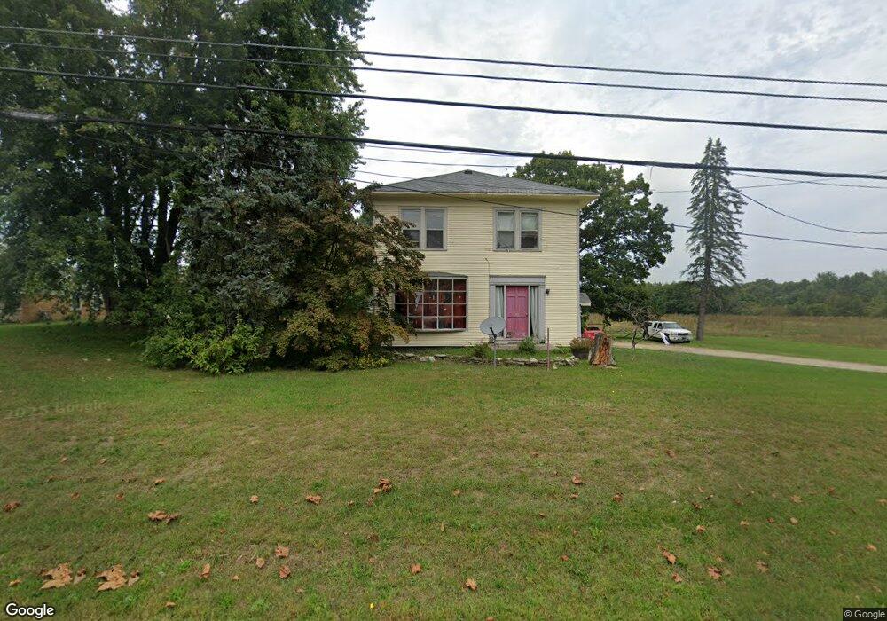
2913 Territorial Rd Benton Harbor, MI 49022
Benton Heights NeighborhoodEstimated Value: $119,000 - $152,000
3
Beds
1
Bath
1,620
Sq Ft
$86/Sq Ft
Est. Value
About This Home
This home is located at 2913 Territorial Rd, Benton Harbor, MI 49022 and is currently estimated at $138,516, approximately $85 per square foot. 2913 Territorial Rd is a home located in Berrien County with nearby schools including Fair Plain Middle School, Benton Harbor High School, and Mildred C. Wells Preparatory Academy.
Ownership History
Date
Name
Owned For
Owner Type
Purchase Details
Closed on
Feb 21, 2019
Sold by
Family Circle Properties Llc
Bought by
Family Circle Properties Gen 2 Llc
Current Estimated Value
Purchase Details
Closed on
May 6, 2013
Sold by
Anderson Anthony J
Bought by
Family Circle Llc
Purchase Details
Closed on
Oct 25, 2007
Sold by
Bunton Edwin and Bunton Beverly
Bought by
Deutsche Bank National Trustee Co
Purchase Details
Closed on
Apr 6, 1999
Purchase Details
Closed on
Jan 15, 1992
Create a Home Valuation Report for This Property
The Home Valuation Report is an in-depth analysis detailing your home's value as well as a comparison with similar homes in the area
Home Values in the Area
Average Home Value in this Area
Purchase History
| Date | Buyer | Sale Price | Title Company |
|---|---|---|---|
| Family Circle Properties Gen 2 Llc | -- | None Available | |
| Family Circle Llc | -- | None Available | |
| Anderson Anthony J | -- | None Available | |
| Deutsche Bank National Trustee Co | $104,875 | None Available | |
| -- | -- | -- | |
| -- | $100 | -- |
Source: Public Records
Tax History
| Year | Tax Paid | Tax Assessment Tax Assessment Total Assessment is a certain percentage of the fair market value that is determined by local assessors to be the total taxable value of land and additions on the property. | Land | Improvement |
|---|---|---|---|---|
| 2025 | $2,207 | $56,200 | $0 | $0 |
| 2024 | $1,563 | $51,700 | $0 | $0 |
| 2023 | $1,488 | $51,000 | $0 | $0 |
| 2022 | $1,418 | $46,900 | $0 | $0 |
| 2021 | $1,938 | $44,900 | $700 | $44,200 |
| 2020 | $1,911 | $44,900 | $0 | $0 |
| 2019 | $1,876 | $38,900 | $600 | $38,300 |
| 2018 | $1,821 | $38,900 | $0 | $0 |
| 2017 | $1,794 | $38,300 | $0 | $0 |
| 2016 | $1,121 | $39,800 | $0 | $0 |
| 2015 | $1,117 | $38,000 | $0 | $0 |
| 2014 | $591 | $49,000 | $0 | $0 |
Source: Public Records
Map
Nearby Homes
- VL Clinton Rd
- 0 Vl Clinton Rd
- 2480 Crawford Dr
- 846 N Benton Center Rd
- 757 N Pike Rd
- 617 Gestner Rd
- 2416 Highland Ave
- 1081 Villa Ct
- 640 O'Brien Dr
- 612 N Crystal Ave
- 4156 Echo Rd
- 4172 Pine Wood Dr
- 1626 Territorial Rd
- 3011 E Empire Ave
- 0 Wickwire Rd
- 4262 Arrow Wood Curve
- 185 Felton St
- 4520 Ross Dr
- 4540 Ross Dr
- 4290 E Britain Ave
- 2887 Territorial Rd
- 2918 Territorial Rd
- 2875 Territorial Rd
- 2894 Territorial Rd
- 2884 Territorial Rd
- 2867 Territorial Rd
- 2957 Territorial Rd
- 2950 Territorial Rd
- 2975 Territorial Rd
- 2976 Territorial Rd
- 2862 Territorial Rd
- 2821 Territorial Rd
- 2992 Territorial Rd
- 2962 Territorial Rd
- 2799 Territorial Rd
- 2804 Territorial Rd
- 3016 Territorial Rd
- 2796 Territorial Rd
- 3025 Territorial Rd
- 2793 Territorial Rd