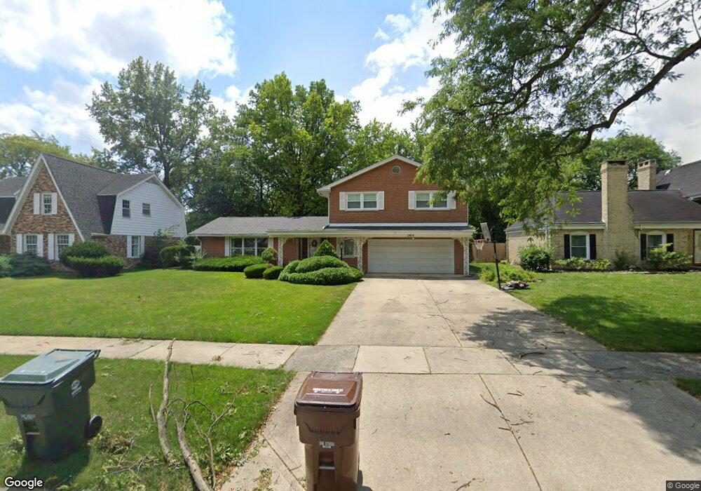
2914 Bob o Link Rd Flossmoor, IL 60422
Estimated Value: $397,000 - $504,000
4
Beds
3
Baths
3,627
Sq Ft
$124/Sq Ft
Est. Value
About This Home
This home is located at 2914 Bob o Link Rd, Flossmoor, IL 60422 and is currently estimated at $449,463, approximately $123 per square foot. 2914 Bob o Link Rd is a home located in Cook County with nearby schools including Heather Hill Elementary School, Parker Junior High School, and Homewood-Flossmoor High School.
Ownership History
Date
Name
Owned For
Owner Type
Purchase Details
Closed on
Jul 11, 2011
Sold by
Davis Ronald
Bought by
Harris Leroy T
Current Estimated Value
Home Financials for this Owner
Home Financials are based on the most recent Mortgage that was taken out on this home.
Original Mortgage
$205,000
Outstanding Balance
$140,591
Interest Rate
4.52%
Mortgage Type
VA
Estimated Equity
$308,872
Create a Home Valuation Report for This Property
The Home Valuation Report is an in-depth analysis detailing your home's value as well as a comparison with similar homes in the area
Home Values in the Area
Average Home Value in this Area
Purchase History
| Date | Buyer | Sale Price | Title Company |
|---|---|---|---|
| Harris Leroy T | $205,000 | Cti |
Source: Public Records
Mortgage History
| Date | Status | Borrower | Loan Amount |
|---|---|---|---|
| Open | Harris Leroy T | $205,000 |
Source: Public Records
Tax History Compared to Growth
Tax History
| Year | Tax Paid | Tax Assessment Tax Assessment Total Assessment is a certain percentage of the fair market value that is determined by local assessors to be the total taxable value of land and additions on the property. | Land | Improvement |
|---|---|---|---|---|
| 2024 | -- | $34,000 | $6,905 | $27,095 |
| 2023 | -- | $34,000 | $6,905 | $27,095 |
| 2022 | $0 | $26,597 | $5,964 | $20,633 |
| 2021 | $4,606 | $26,596 | $5,963 | $20,633 |
| 2020 | $4,606 | $26,596 | $5,963 | $20,633 |
| 2019 | $0 | $25,519 | $5,335 | $20,184 |
| 2018 | $0 | $25,519 | $5,335 | $20,184 |
| 2017 | $0 | $25,519 | $5,335 | $20,184 |
| 2016 | $0 | $22,277 | $4,708 | $17,569 |
| 2015 | $0 | $22,277 | $4,708 | $17,569 |
| 2014 | $9,332 | $22,277 | $4,708 | $17,569 |
| 2013 | $8,739 | $24,677 | $4,708 | $19,969 |
Source: Public Records
Map
Nearby Homes
- 1402 Berry Ln
- 1248 Berry Ln
- 1248 Oakmont Ave
- 3013 Mac Heath Crescent
- 3045 Scott Crescent
- 2937 Kathleen Ln
- 2931 Sunset Ave
- 3118 Elaine Ct Unit 232
- 3037 Candlewood Ct
- 1141 Leavitt Ave Unit 115
- 1139 Leavitt Ave Unit 212
- 1139 Leavitt Ave Unit 313
- 2929 Flossmoor Rd
- 2817 Flossmoor Rd
- 3232 Chestnut Dr
- 2633 Hawthorne Ln Unit B
- 1117 Leavitt Ave Unit 110
- 1430 Brassie Ave
- 2640 Central Dr Unit 1-N
- 926 Braemar Rd
- 2922 Bob o Link Rd
- 2908 Bob o Link Rd
- 2926 Bob o Link Rd
- 2902 Bob o Link Rd
- 2921 Scott Crescent
- 2915 Scott Crescent
- 2927 Scott Crescent
- 2913 Bob o Link Rd
- 2907 Bob o Link Rd
- 2921 Bob o Link Rd
- 2932 Bob o Link Rd
- 1348 Berry Ln
- 1408 Berry Ln
- 2933 Scott Crescent
- 2901 Bob o Link Rd
- 2927 Bob o Link Rd
- Lots Crawford Ave
- 0 Sterling-Wallace Ave Unit 7382348
- 0 Sterling-Wallace Ave Unit 7762377
- NEC Vollmer & Crawford Rd