2914 Devonshire Rd Newton, NC 28658
Estimated Value: $360,000 - $389,000
3
Beds
3
Baths
1,949
Sq Ft
$193/Sq Ft
Est. Value
About This Home
This home is located at 2914 Devonshire Rd, Newton, NC 28658 and is currently estimated at $375,259, approximately $192 per square foot. 2914 Devonshire Rd is a home located in Catawba County with nearby schools including Startown Elementary School, Maiden Middle School, and Maiden High School.
Ownership History
Date
Name
Owned For
Owner Type
Purchase Details
Closed on
May 17, 2021
Sold by
Mcneely Michael Todd
Bought by
Mcneely Michael Todd and Mcneely Jennifer Jarvis
Current Estimated Value
Home Financials for this Owner
Home Financials are based on the most recent Mortgage that was taken out on this home.
Original Mortgage
$151,500
Outstanding Balance
$111,409
Interest Rate
3.1%
Mortgage Type
New Conventional
Estimated Equity
$263,850
Purchase Details
Closed on
Sep 16, 2013
Sold by
Sargent Crystal and Sargent Joel
Bought by
Mcneely Michael Todd
Purchase Details
Closed on
Jul 2, 1999
Bought by
Reese Kevin Wayne and Reese Karen H
Purchase Details
Closed on
Apr 4, 1999
Bought by
Whitener Mary L Lfi
Purchase Details
Closed on
Nov 14, 1988
Bought by
Carter Glenn David and Carter Rita M
Create a Home Valuation Report for This Property
The Home Valuation Report is an in-depth analysis detailing your home's value as well as a comparison with similar homes in the area
Home Values in the Area
Average Home Value in this Area
Purchase History
| Date | Buyer | Sale Price | Title Company |
|---|---|---|---|
| Mcneely Michael Todd | -- | None Available | |
| Mcneely Michael Todd | -- | None Listed On Document | |
| Mcneely Michael Todd | -- | None Available | |
| Reese Kevin Wayne | $26,500 | -- | |
| Whitener Mary L Lfi | $26,500 | -- | |
| Carter Glenn David | $17,000 | -- |
Source: Public Records
Mortgage History
| Date | Status | Borrower | Loan Amount |
|---|---|---|---|
| Open | Mcneely Michael Todd | $151,500 | |
| Closed | Mcneely Michael Todd | $151,500 |
Source: Public Records
Tax History
| Year | Tax Paid | Tax Assessment Tax Assessment Total Assessment is a certain percentage of the fair market value that is determined by local assessors to be the total taxable value of land and additions on the property. | Land | Improvement |
|---|---|---|---|---|
| 2025 | $1,646 | $329,600 | $25,100 | $304,500 |
| 2024 | $1,646 | $329,600 | $25,100 | $304,500 |
| 2023 | $1,646 | $225,100 | $25,100 | $200,000 |
| 2022 | $1,632 | $225,100 | $25,100 | $200,000 |
| 2021 | $1,587 | $225,100 | $25,100 | $200,000 |
| 2020 | $1,587 | $225,100 | $25,100 | $200,000 |
| 2019 | $1,564 | $225,100 | $0 | $0 |
| 2018 | $1,293 | $186,000 | $25,700 | $160,300 |
| 2017 | $1,237 | $0 | $0 | $0 |
| 2016 | $1,237 | $0 | $0 | $0 |
| 2015 | $1,114 | $186,000 | $25,700 | $160,300 |
| 2014 | $1,114 | $185,700 | $32,300 | $153,400 |
Source: Public Records
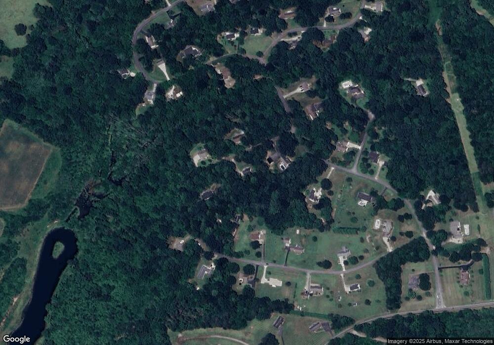
Map
Nearby Homes
- 2625 Glenn St
- 3012 Rocky Ford Rd
- 2034 Whitegate Ln
- 2919 Teton Dr
- 3651 W Nc 10 Hwy
- 1221 Willow Creek Dr
- 1400 Kensington Cir
- 1704 Knightbridge Dr
- 1900 Shady Ln
- 1954 Villa Dr
- 2410 Annwood Ct
- 3956 Den Dr
- 2025 Picnic Dr
- 2963 Reynaud Ct
- 3425 Zion Church Rd
- 1148 Fye Dr
- 1640 W Nc 10 Hwy
- 2563 Marble St
- 3894 Miller Dr
- 3992 Brickfield St
- 2909 Devonshire Rd
- 2909 Devonshire Rd Unit 11
- 2934 Devonshire Rd
- 2880 Devonshire Rd
- 2887 Devonshire Rd
- 2832 Devonshire Rd
- 1995 Wellington Ave Unit 12
- 2800 Devonshire Rd
- 2041 Wellington Ave
- 1998 Wellington Ave
- 2772 Devonshire Rd
- 1951 Wellington Ave
- 1951 Wellington Ave Unit 1
- 2032 Wellington Ave
- 1917 Wellington Ave Unit 2
- 1917 Wellington Ave
- 2843 Devonshire Rd
- 2807 Devonshire Rd
- 2827 Devonshire Rd
- 2053 Wellington Ave
Your Personal Tour Guide
Ask me questions while you tour the home.