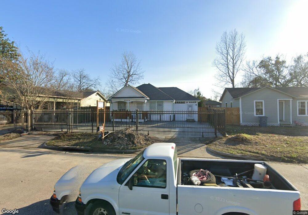
2914 Hopper Rd Houston, TX 77093
East Aldine NeighborhoodEstimated Value: $160,190 - $179,000
3
Beds
2
Baths
994
Sq Ft
$171/Sq Ft
Est. Value
About This Home
This home is located at 2914 Hopper Rd, Houston, TX 77093 and is currently estimated at $169,798, approximately $170 per square foot. 2914 Hopper Rd is a home located in Harris County with nearby schools including Scarborough Elementary School, Patrick Henry Middle School, and Sam Houston Math, Science & Technology Center.
Ownership History
Date
Name
Owned For
Owner Type
Purchase Details
Closed on
Apr 30, 2007
Sold by
Hernandez Ismael and Hernandez Maria S
Bought by
Maya Veronica
Current Estimated Value
Home Financials for this Owner
Home Financials are based on the most recent Mortgage that was taken out on this home.
Original Mortgage
$85,500
Outstanding Balance
$61,865
Interest Rate
10%
Mortgage Type
Purchase Money Mortgage
Estimated Equity
$107,933
Create a Home Valuation Report for This Property
The Home Valuation Report is an in-depth analysis detailing your home's value as well as a comparison with similar homes in the area
Home Values in the Area
Average Home Value in this Area
Purchase History
| Date | Buyer | Sale Price | Title Company |
|---|---|---|---|
| Maya Veronica | -- | Southland Title Company Of M |
Source: Public Records
Mortgage History
| Date | Status | Borrower | Loan Amount |
|---|---|---|---|
| Open | Maya Veronica | $85,500 |
Source: Public Records
Tax History Compared to Growth
Tax History
| Year | Tax Paid | Tax Assessment Tax Assessment Total Assessment is a certain percentage of the fair market value that is determined by local assessors to be the total taxable value of land and additions on the property. | Land | Improvement |
|---|---|---|---|---|
| 2025 | $814 | $154,823 | $40,308 | $114,515 |
| 2024 | $814 | $154,823 | $40,308 | $114,515 |
| 2023 | $814 | $168,423 | $40,308 | $128,115 |
| 2022 | $1,665 | $136,984 | $30,844 | $106,140 |
| 2021 | $1,607 | $103,689 | $30,844 | $72,845 |
| 2020 | $1,520 | $90,597 | $30,844 | $59,753 |
| 2019 | $1,442 | $90,597 | $30,844 | $59,753 |
| 2018 | $777 | $61,177 | $30,844 | $30,333 |
| 2017 | $1,311 | $61,177 | $30,844 | $30,333 |
| 2016 | $1,311 | $61,177 | $30,844 | $30,333 |
| 2015 | $859 | $58,943 | $19,278 | $39,665 |
| 2014 | $859 | $58,943 | $19,278 | $39,665 |
Source: Public Records
Map
Nearby Homes
- 2817 Cromwell St
- 2629 Kowis St
- 2915 Brea Crest St
- 3214 Brea Crest St
- 2636 Lone Oak Rd
- 11716 Innsbury Dr
- 2311 Warwick Rd
- 3111 Hartwick Rd
- 2237 Cromwell St
- 2723 Castledale Dr
- 2326 Sunny Dr
- 3418 Hopper Rd
- 11746 Somerset Ln
- 2922 Bertrand St
- 1728 Little York Rd
- 2306 Wardmont St
- 2930 Bertrand St
- 1904 Little York Rd
- 2152 William Tell St
- 2131 Cromwell St Unit D