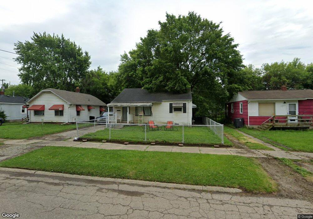
2914 Thom St Flint, MI 48506
Potter Longway NeighborhoodEstimated Value: $45,000 - $55,441
2
Beds
1
Bath
720
Sq Ft
$70/Sq Ft
Est. Value
About This Home
This home is located at 2914 Thom St, Flint, MI 48506 and is currently estimated at $50,610, approximately $70 per square foot. 2914 Thom St is a home located in Genesee County with nearby schools including Potter School, Richfield Public School Academy, and Richfield Early Learning Center.
Ownership History
Date
Name
Owned For
Owner Type
Purchase Details
Closed on
Jun 12, 2009
Sold by
Secretary Of Housing & Urban Development
Bought by
Moench Jennie
Current Estimated Value
Purchase Details
Closed on
Dec 11, 2008
Sold by
Gmac Mortgage Llc
Bought by
Us Department Of Housing & Urban Develop
Purchase Details
Closed on
Oct 17, 2008
Sold by
Shuck Christopher and Mcclain Glen E
Bought by
Mortgage Electronic Registration Systems
Purchase Details
Closed on
Sep 24, 2001
Sold by
Pruitt Edward M and Pruitt Geraldine C
Bought by
Shuck Christopher and Mcclain Glen E
Create a Home Valuation Report for This Property
The Home Valuation Report is an in-depth analysis detailing your home's value as well as a comparison with similar homes in the area
Home Values in the Area
Average Home Value in this Area
Purchase History
| Date | Buyer | Sale Price | Title Company |
|---|---|---|---|
| Moench Jennie | $4,350 | None Available | |
| Us Department Of Housing & Urban Develop | -- | None Available | |
| Gmac Mortgage Llc | -- | None Available | |
| Mortgage Electronic Registration Systems | $36,836 | None Available | |
| Shuck Christopher | $37,000 | Sargents Title Company |
Source: Public Records
Tax History
| Year | Tax Paid | Tax Assessment Tax Assessment Total Assessment is a certain percentage of the fair market value that is determined by local assessors to be the total taxable value of land and additions on the property. | Land | Improvement |
|---|---|---|---|---|
| 2025 | $896 | $21,100 | $0 | $0 |
| 2024 | $836 | $17,700 | $0 | $0 |
| 2023 | $821 | $14,800 | $0 | $0 |
| 2022 | $0 | $12,200 | $0 | $0 |
| 2021 | $830 | $11,700 | $0 | $0 |
| 2020 | $769 | $9,500 | $0 | $0 |
| 2019 | $756 | $8,400 | $0 | $0 |
| 2018 | $733 | $7,600 | $0 | $0 |
| 2017 | $716 | $0 | $0 | $0 |
| 2016 | $712 | $0 | $0 | $0 |
| 2015 | -- | $0 | $0 | $0 |
| 2014 | -- | $0 | $0 | $0 |
| 2012 | -- | $9,700 | $0 | $0 |
Source: Public Records
Map
Nearby Homes
- 3018 Dakota Ave
- 3010 Wyoming Ave
- 2719 Branch Rd
- 3118 Wyoming Ave
- 2701 Branch Rd
- 3210 Wyoming Ave
- 3006 Agree Ave
- 2426 Hoff St
- 3314 Dakota Ave
- 2217 Maryland Ave
- 3413 Dakota Ave
- 3149 Whittier Ave
- 2321 Levern St
- 2211 Torrance St
- 2935 Richfield Rd
- 2506 Arlington Ave
- 3602 Dakota Ave
- 3213 Holly Ave
- 2426 Broadway Blvd
- 1826 Dakota Ave
Your Personal Tour Guide
Ask me questions while you tour the home.