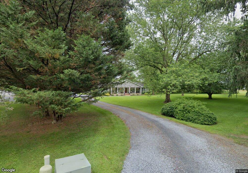
29145 Bell Ln Easton, MD 21601
Estimated Value: $584,000 - $677,000
--
Bed
5
Baths
2,760
Sq Ft
$229/Sq Ft
Est. Value
About This Home
This home is located at 29145 Bell Ln, Easton, MD 21601 and is currently estimated at $630,721, approximately $228 per square foot. 29145 Bell Ln is a home located in Talbot County with nearby schools including Chapel District Elementary School, Easton Middle School, and Easton High School.
Ownership History
Date
Name
Owned For
Owner Type
Purchase Details
Closed on
May 19, 1992
Sold by
Mcallen M Webster
Bought by
Everngam Mark W and Everngam Tamela F
Current Estimated Value
Home Financials for this Owner
Home Financials are based on the most recent Mortgage that was taken out on this home.
Original Mortgage
$88,022
Interest Rate
8.64%
Purchase Details
Closed on
Feb 15, 1990
Sold by
Bell Bell O and Bell Mary E
Bought by
Mcallen M Webster
Create a Home Valuation Report for This Property
The Home Valuation Report is an in-depth analysis detailing your home's value as well as a comparison with similar homes in the area
Home Values in the Area
Average Home Value in this Area
Purchase History
| Date | Buyer | Sale Price | Title Company |
|---|---|---|---|
| Everngam Mark W | $30,000 | -- | |
| Mcallen M Webster | $26,000 | -- |
Source: Public Records
Mortgage History
| Date | Status | Borrower | Loan Amount |
|---|---|---|---|
| Closed | Everngam Mark W | $88,022 |
Source: Public Records
Tax History Compared to Growth
Tax History
| Year | Tax Paid | Tax Assessment Tax Assessment Total Assessment is a certain percentage of the fair market value that is determined by local assessors to be the total taxable value of land and additions on the property. | Land | Improvement |
|---|---|---|---|---|
| 2025 | $1,770 | $382,400 | $0 | $0 |
| 2024 | $1,770 | $361,100 | $83,800 | $277,300 |
| 2023 | $1,627 | $346,367 | $0 | $0 |
| 2022 | $1,557 | $331,633 | $0 | $0 |
| 2021 | $1,448 | $316,900 | $83,800 | $233,100 |
| 2020 | $1,448 | $300,467 | $0 | $0 |
| 2019 | $1,430 | $284,033 | $0 | $0 |
| 2018 | $1,370 | $267,600 | $71,800 | $195,800 |
| 2017 | $1,311 | $267,600 | $0 | $0 |
| 2016 | $1,249 | $267,600 | $0 | $0 |
| 2015 | $1,116 | $271,800 | $0 | $0 |
| 2014 | $1,116 | $271,800 | $0 | $0 |
Source: Public Records
Map
Nearby Homes
- 10118 Hiners Ln
- 29414 Andrew Ln
- 29 Kensington Dr
- 12 Park Ln
- 12 Curzon Ct
- 11 Park Ln
- 0 Cordova Rd Unit MDTA2009734
- Lot 12 Price St
- 0 Ocean Gateway Unit MDTA2009628
- 0 Ocean Gateway Unit MDTA2008568
- 9236 Chapel Rd
- 9134 Honeysuckle Dr
- 9043 Ocean Gateway
- 11340 Longwoods Rd
- 9361 Woodstock Ln Unit 7
- 9361 Woodstock Ln
- 11 Sandy Ln
- 13 Sandy Ln
- 14 Sandy Ln
- 18 Sandy Ln
- 29135 Bell Ln
- 29137 Bell Ln
- 10193 Hiners Ln
- 29116 Bell Ln
- 10200 Ocean Gateway
- 10206 Hiners Ln
- 10257 Hiners Ln
- 10163 Hiners Ln
- 10220 Ocean Gateway
- 10180 Hiners Ln
- 29049 Carters Plains Rd
- 10028 Ocean Gateway
- 10132 Hiners Ln
- 29043 Carters Plains Rd
- 10211 Ocean Gateway
- 10225 Ocean Gateway
- 29069 Cherry Hill Ln
- 10239 Ocean Gateway
- 10247 Ocean Gateway
- 10263 Ocean Gateway