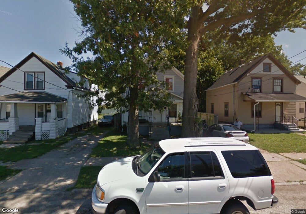
2915 Apple Ave Lorain, OH 44055
Estimated Value: $89,532 - $108,000
3
Beds
1
Bath
1,030
Sq Ft
$97/Sq Ft
Est. Value
About This Home
This home is located at 2915 Apple Ave, Lorain, OH 44055 and is currently estimated at $99,883, approximately $96 per square foot. 2915 Apple Ave is a home located in Lorain County with nearby schools including Garfield Elementary School, Southview Middle School, and Lorain High School.
Ownership History
Date
Name
Owned For
Owner Type
Purchase Details
Closed on
Apr 1, 2020
Sold by
Kts Enterprises Llc
Bought by
Lorian Pride Llc
Current Estimated Value
Purchase Details
Closed on
Apr 1, 2005
Sold by
Sutton Kent N and Sutton Gertrude B
Bought by
Kts Enterprises Llc
Purchase Details
Closed on
Jun 7, 2002
Sold by
Beneficial Ohio Inc
Bought by
Sutton Kent N and Sutton Gertrude B
Purchase Details
Closed on
Mar 15, 2002
Sold by
Deborah Heath
Bought by
Beneficial Ohio Inc and Beneficial Mtg Co Of Ohio
Create a Home Valuation Report for This Property
The Home Valuation Report is an in-depth analysis detailing your home's value as well as a comparison with similar homes in the area
Home Values in the Area
Average Home Value in this Area
Purchase History
| Date | Buyer | Sale Price | Title Company |
|---|---|---|---|
| Lorian Pride Llc | $918,000 | Chicago Title Insurance Co | |
| Kts Enterprises Llc | -- | -- | |
| Sutton Kent N | $33,500 | Midland Title | |
| Beneficial Ohio Inc | $22,000 | -- |
Source: Public Records
Tax History Compared to Growth
Tax History
| Year | Tax Paid | Tax Assessment Tax Assessment Total Assessment is a certain percentage of the fair market value that is determined by local assessors to be the total taxable value of land and additions on the property. | Land | Improvement |
|---|---|---|---|---|
| 2024 | $823 | $19,474 | $1,925 | $17,549 |
| 2023 | $713 | $13,507 | $1,834 | $11,673 |
| 2022 | $707 | $13,507 | $1,834 | $11,673 |
| 2021 | $707 | $13,507 | $1,834 | $11,673 |
| 2020 | $720 | $11,940 | $1,620 | $10,320 |
| 2019 | $716 | $11,940 | $1,620 | $10,320 |
| 2018 | $716 | $11,940 | $1,620 | $10,320 |
| 2017 | $587 | $9,230 | $1,820 | $7,410 |
| 2016 | $583 | $9,230 | $1,820 | $7,410 |
| 2015 | $551 | $9,230 | $1,820 | $7,410 |
| 2014 | $509 | $8,550 | $1,690 | $6,860 |
| 2013 | $505 | $8,550 | $1,690 | $6,860 |
Source: Public Records
Map
Nearby Homes
- V/L Broadway Ave
- 3026 Caroline Ave
- 2634 Apple Ave
- 3177 Elyria Ave
- 206 W 29th St
- 0 Apple Ave
- 314 E 26th St
- 2909 Denver Ave
- 216 E 33rd St
- 3266 Livingston Ave
- 0 Toledo Ave Unit 5129967
- 3242 Reid Ave
- 325 W 31st St
- 207 W 25th St
- 2346 Livingston Ave
- 2613 Oakdale Ave
- 0 Denver Ave Unit 5140795
- 0 Denver Ave Unit 5140781
- 0 Denver Ave Unit 5140797
- 0 Denver Ave Unit 5141186