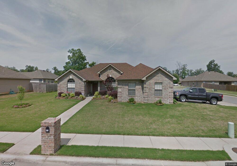
2915 Maggie Dr Benton, AR 72015
Estimated Value: $238,565 - $253,000
--
Bed
2
Baths
1,723
Sq Ft
$144/Sq Ft
Est. Value
About This Home
This home is located at 2915 Maggie Dr, Benton, AR 72015 and is currently estimated at $248,891, approximately $144 per square foot. 2915 Maggie Dr is a home located in Saline County with nearby schools including Hurricane Creek Elementary School, Bryant Middle School, and Bethel Middle School.
Ownership History
Date
Name
Owned For
Owner Type
Purchase Details
Closed on
Jul 17, 2015
Sold by
Singleton Terrence and Singleton Teresa
Bought by
Nelson Charles and Nelson Sandra
Current Estimated Value
Purchase Details
Closed on
Apr 19, 2005
Sold by
Ken Young Co
Bought by
Singleton Terence and Singleton Teresa
Home Financials for this Owner
Home Financials are based on the most recent Mortgage that was taken out on this home.
Original Mortgage
$31,120
Interest Rate
5.41%
Mortgage Type
Stand Alone Second
Create a Home Valuation Report for This Property
The Home Valuation Report is an in-depth analysis detailing your home's value as well as a comparison with similar homes in the area
Home Values in the Area
Average Home Value in this Area
Purchase History
| Date | Buyer | Sale Price | Title Company |
|---|---|---|---|
| Nelson Charles | $158,500 | None Available | |
| Singleton Terence | $156,000 | -- |
Source: Public Records
Mortgage History
| Date | Status | Borrower | Loan Amount |
|---|---|---|---|
| Previous Owner | Singleton Terence | $31,120 |
Source: Public Records
Tax History Compared to Growth
Tax History
| Year | Tax Paid | Tax Assessment Tax Assessment Total Assessment is a certain percentage of the fair market value that is determined by local assessors to be the total taxable value of land and additions on the property. | Land | Improvement |
|---|---|---|---|---|
| 2025 | $2,135 | $39,461 | $6,400 | $33,061 |
| 2024 | $2,028 | $39,461 | $6,400 | $33,061 |
| 2023 | $2,056 | $39,461 | $6,400 | $33,061 |
| 2022 | $1,884 | $39,461 | $6,400 | $33,061 |
| 2021 | $1,719 | $31,660 | $5,400 | $26,260 |
| 2020 | $1,719 | $31,660 | $5,400 | $26,260 |
| 2019 | $1,719 | $31,660 | $5,400 | $26,260 |
| 2018 | $1,716 | $31,660 | $5,400 | $26,260 |
| 2017 | $1,716 | $31,660 | $5,400 | $26,260 |
| 2016 | $1,477 | $0 | $0 | $0 |
| 2015 | $1,138 | $29,180 | $5,400 | $23,780 |
| 2014 | $1,150 | $29,180 | $5,400 | $23,780 |
Source: Public Records
Map
Nearby Homes
- 4426 Mandy Cir
- 000 Alcoa Rd
- 4102 Northshore Dr
- 2401 Kenneth Dr
- 4004 Evergreen Dr
- 4011 Evergreen Dr
- 3712 Hazelwood Dr
- 3323 Stonewall Dr
- 3501 Hemlock Cove
- 2518 Millbrook Dr
- 4297 Heritage Oak Dr
- 3707 Mount Carmel Rd
- 3007 Oakbrook
- 313 Prospect Park Loop
- 2905 Janet
- 129 Prospect Park Dr
- 3027 Sue St
- 7120 Alcoa Rd
- 6 acres Interstate 30
- 3002 Sue St