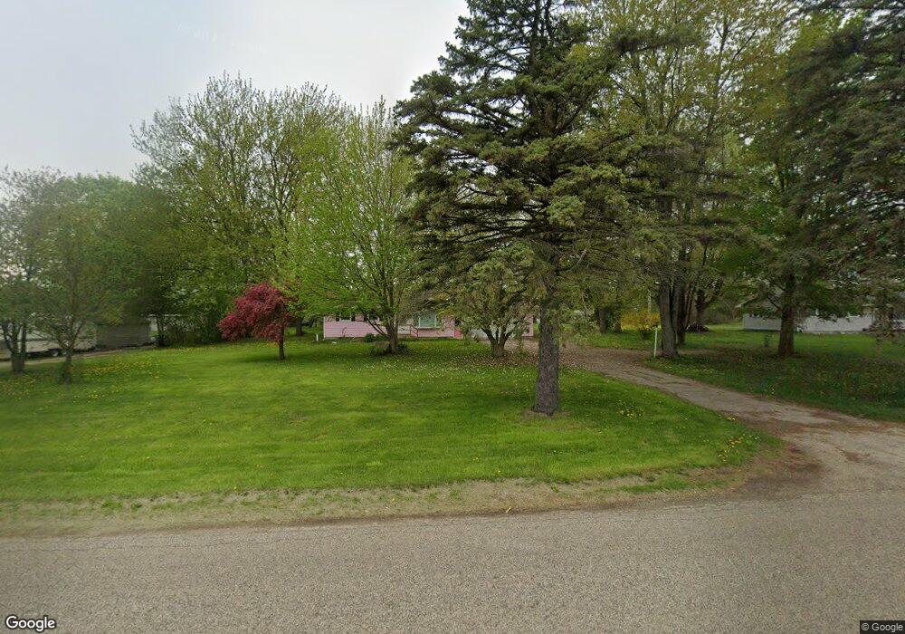
2915 N Cochran Rd Charlotte, MI 48813
Estimated Value: $202,000 - $264,000
--
Bed
--
Bath
1,437
Sq Ft
$159/Sq Ft
Est. Value
About This Home
This home is located at 2915 N Cochran Rd, Charlotte, MI 48813 and is currently estimated at $228,748, approximately $159 per square foot. 2915 N Cochran Rd is a home located in Eaton County with nearby schools including Washington Elementary School, Charlotte Upper Elementary School, and Charlotte Middle School.
Ownership History
Date
Name
Owned For
Owner Type
Purchase Details
Closed on
Jul 17, 2025
Sold by
Smith Jeanette and Smith Steven K
Bought by
2915 North Cochran Llc
Current Estimated Value
Purchase Details
Closed on
Nov 15, 2013
Sold by
Menzo C Howe Living Trust
Bought by
Smith Jeanette and Smith Steven K
Purchase Details
Closed on
Jul 27, 2004
Sold by
Goodrich Jacalyn M and Smith Jeanette M
Bought by
Howe Menzo C
Create a Home Valuation Report for This Property
The Home Valuation Report is an in-depth analysis detailing your home's value as well as a comparison with similar homes in the area
Home Values in the Area
Average Home Value in this Area
Purchase History
| Date | Buyer | Sale Price | Title Company |
|---|---|---|---|
| 2915 North Cochran Llc | -- | None Listed On Document | |
| 2915 North Cochran Llc | -- | None Listed On Document | |
| Smith Jeanette | $61,000 | Midstate Title Agency Llc | |
| Howe Menzo C | $160,000 | -- |
Source: Public Records
Tax History Compared to Growth
Tax History
| Year | Tax Paid | Tax Assessment Tax Assessment Total Assessment is a certain percentage of the fair market value that is determined by local assessors to be the total taxable value of land and additions on the property. | Land | Improvement |
|---|---|---|---|---|
| 2025 | $2,718 | $96,300 | $0 | $0 |
| 2024 | $637 | $89,200 | $0 | $0 |
| 2023 | $607 | $77,900 | $0 | $0 |
| 2022 | $2,414 | $68,400 | $0 | $0 |
| 2021 | $2,255 | $63,600 | $0 | $0 |
| 2020 | $2,255 | $62,900 | $0 | $0 |
| 2019 | $2,219 | $59,030 | $0 | $0 |
| 2018 | $0 | $55,329 | $0 | $0 |
| 2017 | -- | $54,230 | $0 | $0 |
| 2016 | -- | $45,812 | $0 | $0 |
| 2015 | -- | $48,978 | $0 | $0 |
| 2014 | -- | $52,710 | $0 | $0 |
| 2013 | -- | $53,407 | $0 | $0 |
Source: Public Records
Map
Nearby Homes
- 0 E Kinsel Hwy Unit 20251030636
- Vl W Kinsel Hwy
- 138 Canterbury Dr
- 1176 Maple Leaf Ct
- 884 Ottawa Ct Unit 7
- 0 Packard Hwy
- 922 High St
- 674 Beech Hwy
- 1761 Lansing Rd
- 1288 Tori Trail
- 717 High St
- 525 N Wheaton Rd
- 1877 Packard Hwy
- 519 Amity St
- 428 N Washington St
- 4961 Otto Rd
- 2555 E Vermontville Hwy
- 429 Sumpter St
- 3215 E Crandell Dr Unit 2932
- 2402 N Stine Rd
- 2945 N Cochran Rd
- 2903 N Cochran Rd
- 76 N Clinton Trail
- 60 N Clinton Trail
- 2991 N Cochran Rd
- 182 N Clinton Trail
- 2803 N Cochran Rd
- 2803 N Cochran Rd
- 3043 N Cochran Rd
- 3125 N Cochran Rd
- 0 Mcconnell Hwy
- 2641 N Cochran Rd
- 290 N Clinton Trail
- 435 N Clinton Trail
- 3287 N Cochran Rd
- 384 Mcconnell Hwy
- 3341 N Cochran Rd
- 439 N Clinton Trail
- 443 N Clinton Trail
- 3393 N Cochran Rd