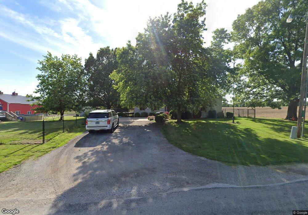
2915 S Twin Bridge Rd Decatur, IL 62521
Estimated Value: $169,000 - $334,000
--
Bed
1
Bath
1,472
Sq Ft
$153/Sq Ft
Est. Value
About This Home
This home is located at 2915 S Twin Bridge Rd, Decatur, IL 62521 and is currently estimated at $225,091, approximately $152 per square foot. 2915 S Twin Bridge Rd is a home located in Macon County with nearby schools including McGaughey Elementary School, Mt. Zion Intermediate School, and Mt. Zion Elementary School.
Ownership History
Date
Name
Owned For
Owner Type
Purchase Details
Closed on
Sep 14, 2015
Sold by
Lacy Edward J and Lacy Alayne A
Bought by
Webb Stephen and Webb Alyson C
Current Estimated Value
Home Financials for this Owner
Home Financials are based on the most recent Mortgage that was taken out on this home.
Original Mortgage
$180,500
Outstanding Balance
$142,061
Interest Rate
3.97%
Mortgage Type
New Conventional
Estimated Equity
$83,030
Purchase Details
Closed on
Jan 1, 1996
Create a Home Valuation Report for This Property
The Home Valuation Report is an in-depth analysis detailing your home's value as well as a comparison with similar homes in the area
Home Values in the Area
Average Home Value in this Area
Purchase History
| Date | Buyer | Sale Price | Title Company |
|---|---|---|---|
| Webb Stephen | $19,000 | Decatur Title Company Llc | |
| -- | $125,000 | -- |
Source: Public Records
Mortgage History
| Date | Status | Borrower | Loan Amount |
|---|---|---|---|
| Open | Webb Stephen | $180,500 |
Source: Public Records
Tax History Compared to Growth
Tax History
| Year | Tax Paid | Tax Assessment Tax Assessment Total Assessment is a certain percentage of the fair market value that is determined by local assessors to be the total taxable value of land and additions on the property. | Land | Improvement |
|---|---|---|---|---|
| 2024 | $3,398 | $60,036 | $7,174 | $52,862 |
| 2023 | $3,285 | $55,785 | $6,666 | $49,119 |
| 2022 | $3,077 | $52,452 | $6,268 | $46,184 |
| 2021 | $2,978 | $49,725 | $5,942 | $43,783 |
| 2020 | $2,855 | $47,524 | $5,679 | $41,845 |
| 2019 | $2,855 | $47,524 | $5,679 | $41,845 |
| 2018 | $2,780 | $46,483 | $5,555 | $40,928 |
| 2017 | $2,767 | $45,909 | $5,486 | $40,423 |
| 2016 | $2,766 | $45,882 | $5,483 | $40,399 |
| 2015 | $2,334 | $45,294 | $5,413 | $39,881 |
| 2014 | $2,265 | $45,294 | $5,413 | $39,881 |
| 2013 | $2,067 | $45,294 | $5,413 | $39,881 |
Source: Public Records
Map
Nearby Homes
- 5620 E Firehouse Rd
- 5301 Ricky Dr
- 5760 Kentland Dr
- 5715 Ocean Trail
- 6455 Birchwood Ln
- 6525 Majors Ln
- 735 Eric Ct
- 1910 Marca St
- 1440 N Alexander Dr
- 3330 S Baltimore Ave
- 570 Fawn Ct
- 24 Buttonridge Place
- 6865 Angela Dr
- 2670 Jennifer Dr
- 1610 Robin Ct
- 1968 S Baltimore Ave
- 1745 S 44th St
- 2504 S Nantucket Dr
- 925 S Wildwood Dr
- 2571 Lansdowne Dr
- 2930 S Twin Bridge Rd
- 2945 S Twin Bridge Rd
- 2940 S Twin Bridge Rd
- 2955 S Twin Bridge Rd
- 2820 S Twin Bridge Rd
- 2860 S Twin Bridge Rd
- 3050 S Twin Bridge Rd
- 2740 S Twin Bridge Rd
- 2717 S Twin Bridge Rd
- 3055 S Twin Bridge Rd
- 5565 Elliott Ct
- 3080 S Twin Bridge Rd
- 2780 S Twin Bridge Rd
- 2720 S Twin Bridge Rd
- 2710 S Twin Bridge Rd
- 2705 S Twin Bridge Rd
- 5605 Elliott Ct
- 2706 S Twin Bridge Rd
- 1 Jesek Ct
- 2635 S Twin Bridge Rd