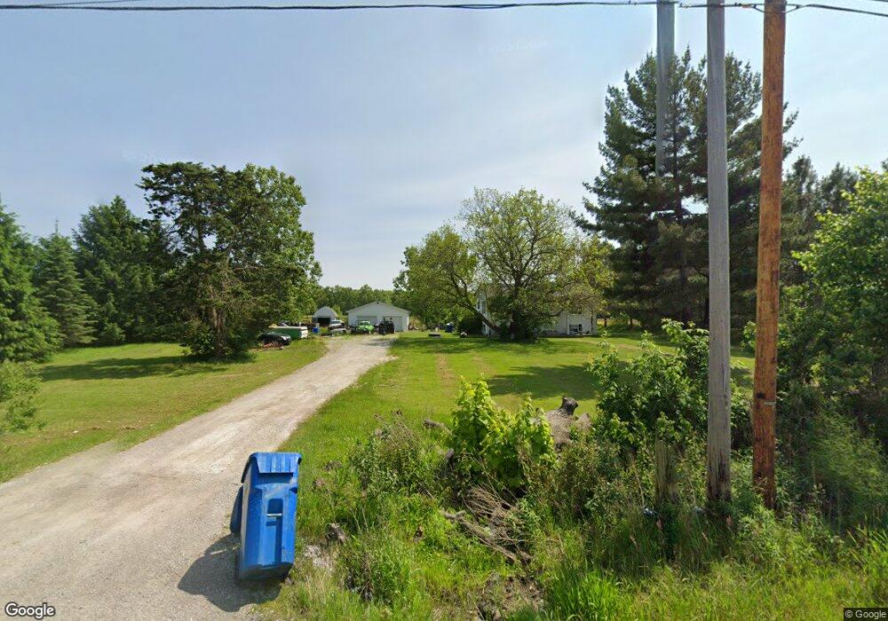
2915 State Route 20 Collins, OH 44826
Estimated Value: $279,000 - $312,000
4
Beds
2
Baths
1,040
Sq Ft
$284/Sq Ft
Est. Value
About This Home
This home is located at 2915 State Route 20, Collins, OH 44826 and is currently estimated at $295,131, approximately $283 per square foot. 2915 State Route 20 is a home located in Huron County with nearby schools including Western Reserve Elementary School, Western Reserve Middle School, and Western Reserve High School.
Ownership History
Date
Name
Owned For
Owner Type
Purchase Details
Closed on
Aug 13, 2015
Sold by
Barnthouse Amber L and Barnthouse Gary
Bought by
Rains Jackie R
Current Estimated Value
Home Financials for this Owner
Home Financials are based on the most recent Mortgage that was taken out on this home.
Original Mortgage
$152,959
Outstanding Balance
$120,506
Interest Rate
4.08%
Mortgage Type
New Conventional
Estimated Equity
$174,625
Purchase Details
Closed on
Oct 25, 2013
Bought by
Amber L Barnthouse
Home Financials for this Owner
Home Financials are based on the most recent Mortgage that was taken out on this home.
Original Mortgage
$88,000
Interest Rate
4.59%
Mortgage Type
Purchase Money Mortgage
Purchase Details
Closed on
Oct 24, 2013
Sold by
Hippler Linda J and Wyatt Arnold J
Bought by
Barnthouse Amber L
Home Financials for this Owner
Home Financials are based on the most recent Mortgage that was taken out on this home.
Original Mortgage
$88,000
Interest Rate
4.59%
Mortgage Type
Purchase Money Mortgage
Purchase Details
Closed on
Mar 22, 2011
Bought by
Arnold J Wyatt
Purchase Details
Closed on
Jul 22, 1999
Bought by
Wyatt Arnold J and Wyatt Vonda
Create a Home Valuation Report for This Property
The Home Valuation Report is an in-depth analysis detailing your home's value as well as a comparison with similar homes in the area
Home Values in the Area
Average Home Value in this Area
Purchase History
| Date | Buyer | Sale Price | Title Company |
|---|---|---|---|
| Rains Jackie R | $149,900 | Chicago Title | |
| Amber L Barnthouse | $110,000 | -- | |
| Barnthouse Amber L | $110,000 | Lawyers Title Ins Corp | |
| Arnold J Wyatt | -- | -- | |
| Wyatt Arnold J | -- | -- |
Source: Public Records
Mortgage History
| Date | Status | Borrower | Loan Amount |
|---|---|---|---|
| Open | Rains Jackie R | $152,959 | |
| Previous Owner | Barnthouse Amber L | $88,000 |
Source: Public Records
Tax History Compared to Growth
Tax History
| Year | Tax Paid | Tax Assessment Tax Assessment Total Assessment is a certain percentage of the fair market value that is determined by local assessors to be the total taxable value of land and additions on the property. | Land | Improvement |
|---|---|---|---|---|
| 2024 | $2,927 | $82,520 | $14,430 | $68,090 |
| 2023 | $2,927 | $61,750 | $10,680 | $51,070 |
| 2022 | $2,288 | $61,750 | $10,680 | $51,070 |
| 2021 | $2,356 | $61,750 | $10,680 | $51,070 |
| 2020 | $2,192 | $54,850 | $9,730 | $45,120 |
| 2019 | $2,183 | $54,850 | $9,730 | $45,120 |
| 2018 | $2,160 | $54,850 | $9,730 | $45,120 |
| 2017 | $1,921 | $49,530 | $9,050 | $40,480 |
| 2016 | $1,889 | $49,530 | $9,050 | $40,480 |
| 2015 | $1,871 | $49,550 | $9,060 | $40,490 |
| 2014 | $1,890 | $48,550 | $9,070 | $39,480 |
| 2013 | $1,410 | $48,550 | $9,070 | $39,480 |
Source: Public Records
Map
Nearby Homes
- 3257 Hartland Center Rd
- 3055 Hartland Center Rd
- 3713 Medusa Rd
- 2904 Zenobia Rd
- 13701 Andress Rd
- 6414 Tennant Rd
- 4718 Brushwood Rd
- 42 Stony Brook Ln
- VL W Abbott Stony Brook Ln St
- 0 W Abbott Stony Brook Ln Unit 20253918
- 6175 U S 20
- 31 Depot St
- 27 Deer Run Dr
- 22 Foxwood Cir
- 22 E Main St
- 5 Foxwood Cir
- 30 S River St
- 4709 State Route 113 E
- 5429 & 5431 St Rt 303
- 34 Cherdon Cir
- 2915 State Rt 20 Route
- 0 St Rt 20 Unit 20176185
- 0 St Rt 20 Unit 3960541
- 2965 State Route 20
- 2809 Us Hwy 20
- 2981 State Route 20
- 2843 State Route 20
- 2843 U S 20
- 2843 St Rt 20
- 2981 U S 20
- 2858 State Route 20
- 2809 State Route 20 E
- 2836 State Route 20
- 3073 State Route 20
- 3824 Townsend Angling Rd
- 2824 State Route 20
- 3876 Townsend Angling Rd
- 2809 U S 20
- 3820 Townsend Angling Rd
- 2816 State Route 20