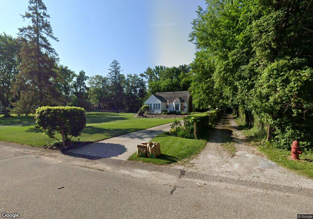
29153 Grove St Unit Bldg-Unit Livonia, MI 48154
Estimated Value: $310,000 - $342,000
2
Beds
2
Baths
1,731
Sq Ft
$184/Sq Ft
Est. Value
About This Home
This home is located at 29153 Grove St Unit Bldg-Unit, Livonia, MI 48154 and is currently estimated at $318,365, approximately $183 per square foot. 29153 Grove St Unit Bldg-Unit is a home located in Wayne County with nearby schools including Riley Upper Elementary School, Buchanan Elementary School, and Holmes Middle School.
Ownership History
Date
Name
Owned For
Owner Type
Purchase Details
Closed on
Aug 18, 2021
Sold by
Byrapaka Nithusha
Bought by
Arn Jordon J
Current Estimated Value
Home Financials for this Owner
Home Financials are based on the most recent Mortgage that was taken out on this home.
Original Mortgage
$190,000
Outstanding Balance
$144,317
Interest Rate
2.2%
Mortgage Type
New Conventional
Estimated Equity
$174,048
Purchase Details
Closed on
Dec 7, 2018
Sold by
Arn Jordon J
Bought by
Arn Jordon J and Byrapaka Nithusha
Purchase Details
Closed on
Nov 9, 2018
Sold by
Spellich David L and Spellich Linda
Bought by
Arn Jordon J
Create a Home Valuation Report for This Property
The Home Valuation Report is an in-depth analysis detailing your home's value as well as a comparison with similar homes in the area
Home Values in the Area
Average Home Value in this Area
Purchase History
| Date | Buyer | Sale Price | Title Company |
|---|---|---|---|
| Arn Jordon J | -- | Mortgage Connect Lp | |
| Arn Jordon J | -- | None Available | |
| Arn Jordon J | $199,900 | None Available |
Source: Public Records
Mortgage History
| Date | Status | Borrower | Loan Amount |
|---|---|---|---|
| Open | Arn Jordon J | $190,000 |
Source: Public Records
Tax History Compared to Growth
Tax History
| Year | Tax Paid | Tax Assessment Tax Assessment Total Assessment is a certain percentage of the fair market value that is determined by local assessors to be the total taxable value of land and additions on the property. | Land | Improvement |
|---|---|---|---|---|
| 2025 | $2,380 | $137,000 | $0 | $0 |
| 2024 | $2,380 | $124,000 | $0 | $0 |
| 2023 | $2,270 | $113,000 | $0 | $0 |
| 2022 | $3,987 | $106,100 | $0 | $0 |
| 2021 | $3,872 | $102,000 | $0 | $0 |
| 2019 | $3,671 | $90,400 | $0 | $0 |
| 2018 | $1,534 | $86,800 | $0 | $0 |
| 2017 | $2,715 | $85,500 | $0 | $0 |
| 2016 | $2,820 | $83,700 | $0 | $0 |
| 2015 | $6,828 | $72,510 | $0 | $0 |
| 2012 | -- | $67,900 | $29,690 | $38,210 |
Source: Public Records
Map
Nearby Homes
- 29106 Broadmoor St
- 29766 Puritan St
- 29945 6 Mile Rd
- 29836 Bobrich St
- 28692 Bayberry Park Dr
- 30115 Munger Dr
- 15608 Hidden Ln
- 30425 Munger Dr
- 18061 Lathers St
- 18001 Floral St
- 15681 Foch St
- 18071 Floral St
- 27427 Vargo St
- 27416 Sunnydale St
- 29760 Hoy St
- 27510 Five Mile Rd
- 27480 5 Mile Rd
- 14962 Beatrice St
- 29721 Pickford St
- 18206 Foch St
- 29153 Grove St
- 29161 Grove St
- 29165 Grove St
- 16565 Savoie St
- 16595 Savoie St
- 29181 Grove St
- 16555 Savoie St
- 29127 Grove St
- 29102 Terrence St
- 29191 Grove St
- 29152 Grove St
- 29166 Grove St
- 29215 Grove St
- 29182 Grove St
- 16625 Savoie St
- 16576 Savoie St
- 16451 Savoie St
- 16624 Savoie St
- 16680 Savoie St
- 29200 Grove St