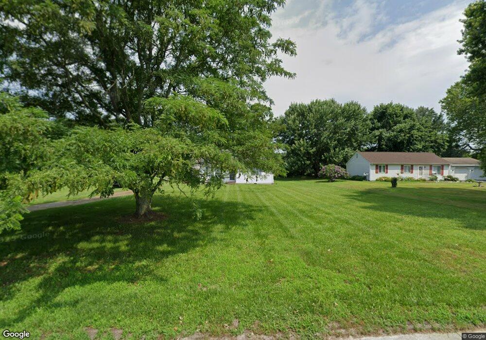
29156 Doubletree Dr Salisbury, MD 21801
North Salisbury NeighborhoodEstimated Value: $172,532 - $252,000
Studio
1
Bath
1,080
Sq Ft
$210/Sq Ft
Est. Value
About This Home
This home is located at 29156 Doubletree Dr, Salisbury, MD 21801 and is currently estimated at $226,383, approximately $209 per square foot. 29156 Doubletree Dr is a home located in Wicomico County with nearby schools including Westside Primary School, Westside Intermediate School, and Salisbury Middle School.
Ownership History
Date
Name
Owned For
Owner Type
Purchase Details
Closed on
Aug 23, 2024
Sold by
Madden Denise
Bought by
Edwards Denena Lauren
Current Estimated Value
Purchase Details
Closed on
Jul 18, 2024
Sold by
Taylor Bernadette R
Bought by
Madden Denise
Purchase Details
Closed on
Jul 6, 1992
Sold by
Burnt Branch Development
Bought by
Taylor Bernadette R
Home Financials for this Owner
Home Financials are based on the most recent Mortgage that was taken out on this home.
Original Mortgage
$62,500
Interest Rate
8.29%
Create a Home Valuation Report for This Property
The Home Valuation Report is an in-depth analysis detailing your home's value as well as a comparison with similar homes in the area
Home Values in the Area
Average Home Value in this Area
Purchase History
| Date | Buyer | Sale Price | Title Company |
|---|---|---|---|
| Edwards Denena Lauren | -- | None Listed On Document | |
| Madden Denise | -- | None Listed On Document | |
| Taylor Bernadette R | $62,500 | -- |
Source: Public Records
Mortgage History
| Date | Status | Borrower | Loan Amount |
|---|---|---|---|
| Previous Owner | Taylor Bernadette R | $62,500 |
Source: Public Records
Tax History
| Year | Tax Paid | Tax Assessment Tax Assessment Total Assessment is a certain percentage of the fair market value that is determined by local assessors to be the total taxable value of land and additions on the property. | Land | Improvement |
|---|---|---|---|---|
| 2025 | $1,045 | $101,633 | $0 | $0 |
| 2024 | $1,031 | $95,467 | $0 | $0 |
| 2023 | $891 | $89,300 | $30,200 | $59,100 |
| 2022 | $1,014 | $88,167 | $0 | $0 |
| 2021 | $1,002 | $87,033 | $0 | $0 |
| 2020 | $1,002 | $85,900 | $30,200 | $55,700 |
| 2019 | $1,014 | $85,900 | $30,200 | $55,700 |
| 2018 | $1,026 | $85,900 | $30,200 | $55,700 |
| 2017 | $1,135 | $102,200 | $0 | $0 |
| 2016 | -- | $102,200 | $0 | $0 |
| 2015 | $1,203 | $102,200 | $0 | $0 |
| 2014 | $1,203 | $111,300 | $0 | $0 |
Source: Public Records
Map
Nearby Homes
- 29167 Doubletree Dr
- 8100 Jersey Rd
- 8014 Jersey Rd
- LOT 1 Jersey Rd
- Lot 2 Jersey Rd
- Lot 3 Jersey Rd
- 7877 Dublin Rd
- 7860 Bennett Park Dr
- 0 Foskey Ln Unit MDWC2017454
- 0 Foskey Ln Unit MDWC112230
- 667 Cook Dr
- 1710 Wilson Ln Unit 1
- 29592 Foskey Ln
- 0 Jersey Rd Unit MDWC2021618
- 426 Dorsey Ln
- 516 Purnell St
- 29826 Connelly Mill Rd
- 28600 Naylor Mill Rd
- 1817 Ocean Shore Ln
- 1505 Jersey Rd
- 29164 Doubletree Dr
- 8209 Burnt Branch Dr
- 8195 Burnt Branch Dr
- 8179 Burnt Branch Dr
- 8215 Burnt Branch Dr
- 29178 Doubletree Dr
- 29161 Doubletree Dr
- 8159 Burnt Branch Dr
- 8221 Burnt Branch Dr
- 8145 Burnt Branch Dr
- 8206 Burnt Branch Dr
- 8198 Burnt Branch Dr
- 8212 Burnt Branch Dr
- 29177 Doubletree Dr
- 8170 Burnt Branch Dr
- 8188 Burnt Branch Dr
- 8154 Burnt Branch Dr
- 8228 Burnt Branch Dr
- 8180 Burnt Branch Dr
- 8162 Burnt Branch Dr
Your Personal Tour Guide
Ask me questions while you tour the home.