29159 Hamm Rd Eugene, OR 97405
Estimated Value: $1,131,000 - $1,399,289
3
Beds
2
Baths
3,599
Sq Ft
$350/Sq Ft
Est. Value
About This Home
This home is located at 29159 Hamm Rd, Eugene, OR 97405 and is currently estimated at $1,258,096, approximately $349 per square foot. 29159 Hamm Rd is a home with nearby schools including Applegate Elementary School and Crow Middle/High School.
Ownership History
Date
Name
Owned For
Owner Type
Purchase Details
Closed on
Nov 18, 2005
Sold by
Guthrie Judith
Bought by
Reardon Richard T and Reardon Caren J
Current Estimated Value
Home Financials for this Owner
Home Financials are based on the most recent Mortgage that was taken out on this home.
Original Mortgage
$359,650
Outstanding Balance
$198,405
Interest Rate
6.25%
Mortgage Type
Fannie Mae Freddie Mac
Estimated Equity
$1,059,691
Purchase Details
Closed on
Mar 5, 2002
Sold by
Guthrie Judith Brown
Bought by
Guthrie Judith
Home Financials for this Owner
Home Financials are based on the most recent Mortgage that was taken out on this home.
Original Mortgage
$80,000
Interest Rate
8.99%
Purchase Details
Closed on
May 5, 2000
Sold by
Genz Dennis L and Genz Sandra L
Bought by
Genz Dennis L and Genz Sandra L
Purchase Details
Closed on
May 26, 1998
Sold by
Judith Brown Guthrie Trust
Bought by
Watkins Helen W
Create a Home Valuation Report for This Property
The Home Valuation Report is an in-depth analysis detailing your home's value as well as a comparison with similar homes in the area
Purchase History
| Date | Buyer | Sale Price | Title Company |
|---|---|---|---|
| Reardon Richard T | $650,000 | Western Title & Escrow Compa | |
| Guthrie Judith | -- | Fidelity National Title Co | |
| Genz Dennis L | -- | Western Pioneer Title Co | |
| Watkins Helen W | -- | -- |
Source: Public Records
Mortgage History
| Date | Status | Borrower | Loan Amount |
|---|---|---|---|
| Open | Reardon Richard T | $359,650 | |
| Previous Owner | Guthrie Judith | $80,000 |
Source: Public Records
Tax History
| Year | Tax Paid | Tax Assessment Tax Assessment Total Assessment is a certain percentage of the fair market value that is determined by local assessors to be the total taxable value of land and additions on the property. | Land | Improvement |
|---|---|---|---|---|
| 2025 | $5,331 | $446,931 | -- | -- |
| 2024 | $5,179 | $434,011 | -- | -- |
| 2023 | $5,179 | $421,489 | $0 | $0 |
| 2022 | $4,879 | $409,328 | $0 | $0 |
Source: Public Records
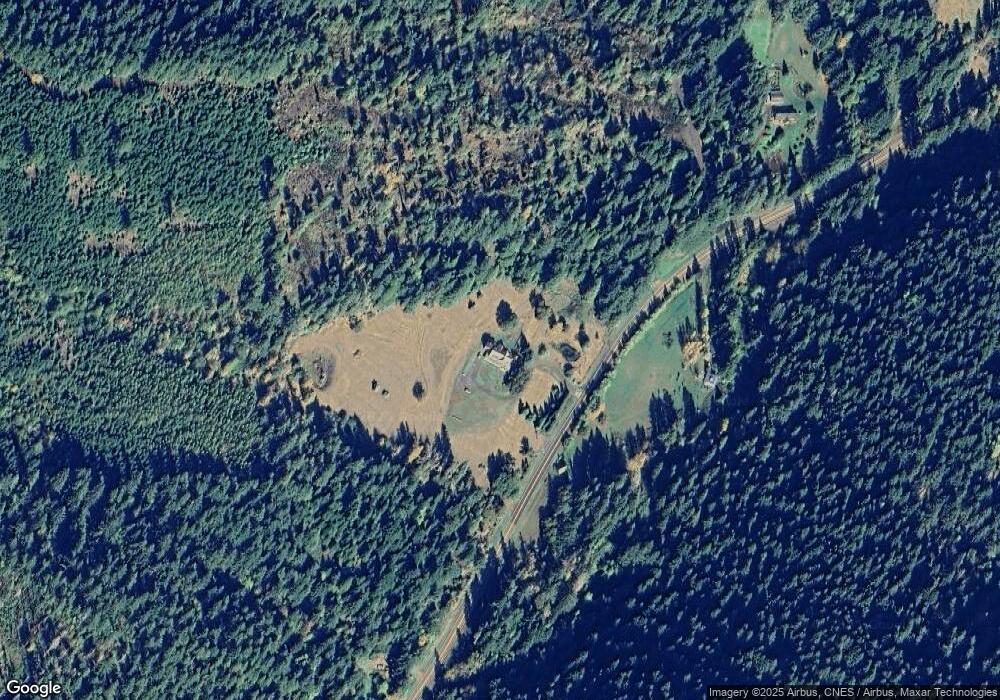
Map
Nearby Homes
- 0 Rd Unit 23082223
- 0 Sutherlin Ln Unit 1100
- 31149 Camas Swale Rd
- 80388 Territorial Hwy
- 31510 Camas Swale Rd
- 27415 Siuslaw River Rd
- 80304 Old Lorane Rd
- 29652 Lusk Rd
- 0 Siuslaw River Rd Unit 484990618
- 28198 Briggs Hill Rd
- 83149 Mickelson Rd
- 85168 Strayer Place
- 27004 Briggs Hill Rd
- 000 Territorial Hwy
- 28408 Spencer Creek Rd
- 84771 Murdock Rd
- 28285 Spencer Creek Rd
- 79128 Territorial Hwy
- 00 Rd Unit 300
- 82044 1980 Stat Boundary
Your Personal Tour Guide
Ask me questions while you tour the home.