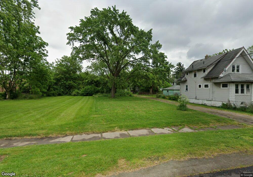
2916 C St Toledo, OH 43608
Lagrange NeighborhoodEstimated Value: $29,627
3
Beds
1
Bath
968
Sq Ft
$31/Sq Ft
Est. Value
About This Home
This home is located at 2916 C St, Toledo, OH 43608 and is currently estimated at $29,627, approximately $30 per square foot. 2916 C St is a home located in Lucas County with nearby schools including Spring Elementary School, Woodward High School, and Imagine Environmental Science Academy.
Ownership History
Date
Name
Owned For
Owner Type
Purchase Details
Closed on
Apr 4, 2022
Sold by
Lucas County Land Reutilization Corporation
Bought by
City Of Toledo,An Ohio Municipal Corporation
Current Estimated Value
Purchase Details
Closed on
Mar 30, 2022
Sold by
Lucas Cnty Land Reutilization
Bought by
City Of Toledo
Purchase Details
Closed on
Nov 18, 2016
Sold by
Salem Wilfred J
Bought by
Lucas County Land Reutilization Corp
Purchase Details
Closed on
Aug 15, 2013
Sold by
15Th Street Rei Llc
Bought by
Salem Wilfred J and Salem Lisa M
Purchase Details
Closed on
Apr 17, 2013
Sold by
Carrera Anthony
Bought by
15Th Street Rei Llc
Purchase Details
Closed on
Sep 26, 2012
Sold by
Auditor Of Lucas Cnty
Bought by
Carrera Anthony
Purchase Details
Closed on
Oct 15, 2004
Sold by
Magill George and Magill Mary Jo
Bought by
Lechlak Larry L and Lechlak Charlotte G
Purchase Details
Closed on
Jul 31, 2002
Sold by
Warner Evelyn Marie
Bought by
Magill George
Purchase Details
Closed on
Mar 7, 2002
Sold by
Estate Of Pauline Johnson
Bought by
Johnson Lester
Create a Home Valuation Report for This Property
The Home Valuation Report is an in-depth analysis detailing your home's value as well as a comparison with similar homes in the area
Home Values in the Area
Average Home Value in this Area
Purchase History
| Date | Buyer | Sale Price | Title Company |
|---|---|---|---|
| City Of Toledo,An Ohio Municipal Corporation | -- | -- | |
| City Of Toledo | -- | None Listed On Document | |
| Lucas County Land Reutilization Corp | -- | None Available | |
| Salem Wilfred J | $3,000 | Birchtree Title Agency Box | |
| 15Th Street Rei Llc | $2,370 | None Available | |
| Carrera Anthony | $600 | None Available | |
| Lechlak Larry L | $25,000 | Metro Title Agency Inc | |
| Magill George | $16,000 | -- | |
| Johnson Lester | -- | -- |
Source: Public Records
Tax History
| Year | Tax Paid | Tax Assessment Tax Assessment Total Assessment is a certain percentage of the fair market value that is determined by local assessors to be the total taxable value of land and additions on the property. | Land | Improvement |
|---|---|---|---|---|
| 2025 | -- | $3,255 | $3,255 | -- |
| 2024 | -- | $3,255 | $3,255 | -- |
| 2023 | $1 | $2,730 | $2,730 | $0 |
| 2022 | $0 | $2,730 | $2,730 | $0 |
| 2021 | $0 | $2,730 | $2,730 | $0 |
| 2020 | $0 | $2,730 | $2,730 | $0 |
| 2019 | $305 | $2,730 | $2,730 | $0 |
| 2018 | $305 | $2,730 | $2,730 | $0 |
| 2017 | $0 | $1,855 | $1,855 | $0 |
| 2016 | $671 | $15,900 | $5,300 | $10,600 |
| 2015 | $611 | $15,900 | $5,300 | $10,600 |
| 2014 | $540 | $5,570 | $1,860 | $3,710 |
| 2013 | $360 | $5,570 | $1,860 | $3,710 |
Source: Public Records
Map
Nearby Homes
- 1016 E Central Ave
- 2816 A St
- 2927 Stickney Ave
- 735 Maywood Ave
- 1101 Ketcham Ave
- 1027 Ketcham Ave
- 3209 Jeannette Ave
- 915 Ketcham Ave
- 1102 Woodward Ave
- 3225 Maher St
- 3233 Jeannette Ave
- 1441 Yates St
- 3250 Brigham St
- 815 Woodward Ave
- 3256 Jeannette Ave
- 1418 Yates St
- 1430 Moore St
- 1307 Noble St
- 3333 Beaumont Dr
- 537 Dexter St
- 2922 C St
- 2912 C St
- 1111 Saint John Ave
- 1101 Saint John Ave
- 1115 Saint John Ave
- 1108 Bronson Ave
- 1112 Bronson Ave
- 1102 Bronson Ave
- 2919 D St
- 2911 D St
- 1119 Saint John Ave
- 1029 Saint John Ave
- 2915 C St
- 2921 C St
- 1127 Saint John Ave
- 1118 Saint John Ave
- 1028 Bronson Ave
- 1131 Saint John Ave
- 1023 Saint John Ave
- 1022 Bronson Ave
Your Personal Tour Guide
Ask me questions while you tour the home.