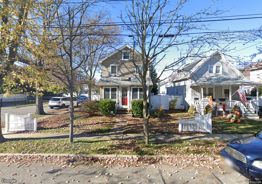
2916 Clark Ave Oceanside, NY 11572
Estimated Value: $731,443 - $733,000
3
Beds
2
Baths
1,715
Sq Ft
$427/Sq Ft
Est. Value
About This Home
This home is located at 2916 Clark Ave, Oceanside, NY 11572 and is currently estimated at $732,222, approximately $426 per square foot. 2916 Clark Ave is a home located in Nassau County with nearby schools including Florence A. Smith Elementary - School 2, Oceanside Middle School, and Oceanside High School.
Ownership History
Date
Name
Owned For
Owner Type
Purchase Details
Closed on
Feb 21, 2017
Sold by
Wirth Richard J and Wirth Diane C
Bought by
Barone Laura and Shortt Joseph
Current Estimated Value
Home Financials for this Owner
Home Financials are based on the most recent Mortgage that was taken out on this home.
Original Mortgage
$350,000
Outstanding Balance
$289,704
Interest Rate
4.19%
Mortgage Type
New Conventional
Estimated Equity
$442,518
Purchase Details
Closed on
Aug 13, 2013
Sold by
Wirth Richard and Wirth Diane
Bought by
Wirth Richard J and Wirth Diane C
Create a Home Valuation Report for This Property
The Home Valuation Report is an in-depth analysis detailing your home's value as well as a comparison with similar homes in the area
Home Values in the Area
Average Home Value in this Area
Purchase History
| Date | Buyer | Sale Price | Title Company |
|---|---|---|---|
| Barone Laura | $440,000 | Chicago Title Insurance Comp | |
| Wirth Richard J | -- | Commonwealth Land Title Insu |
Source: Public Records
Mortgage History
| Date | Status | Borrower | Loan Amount |
|---|---|---|---|
| Open | Barone Laura | $350,000 |
Source: Public Records
Tax History
| Year | Tax Paid | Tax Assessment Tax Assessment Total Assessment is a certain percentage of the fair market value that is determined by local assessors to be the total taxable value of land and additions on the property. | Land | Improvement |
|---|---|---|---|---|
| 2025 | $12,592 | $456 | $153 | $303 |
| 2024 | $3,520 | $450 | $151 | $299 |
Source: Public Records
Map
Nearby Homes
- 495 Henry St
- 2971 Waverly Ave
- 214 Marina Pointe Dr Unit 214
- 404 Silver Ln
- 204 Bayside Ave
- 311 Marina Pointe Dr Unit H
- 322 Marina Pointe Dr
- 121 Marina Pointe Dr Unit 121
- 422 Marina Pointe Dr Unit 422
- 622 Marina Pointe Dr Unit 622
- 301 Merrifield Ave
- 3000 Stevens St Unit 47
- 16 Main St Unit 2-Q
- 469 River St
- 510 Albern Ave
- 14 James St N
- 12 Alexine Ave
- 2900 Stevens St
- 4 Rose St Unit 7,C-1
- 4 Rose St Unit 6 -2A
- 2912 Clark Ave
- 490 Griffin St
- 2908 Clark Ave
- 479 Griffin St
- 2900 Clark Ave
- 493 Griffin St Unit 1
- 493 Griffin St
- 493 Griffin St Unit 2
- 470 Atlantic Ave
- 2954 Clark Ave
- 2905 Clark Ave
- 2915 Evergreen Ave
- 2913 Clark Ave
- 2909 Evergreen Ave
- 490 Atlantic Ave Unit 2
- 490 Atlantic Ave
- 471 Henry St
- 2935 Evergreen Ave
- 2899 Evergreen Ave
- 460 Atlantic Ave
Your Personal Tour Guide
Ask me questions while you tour the home.