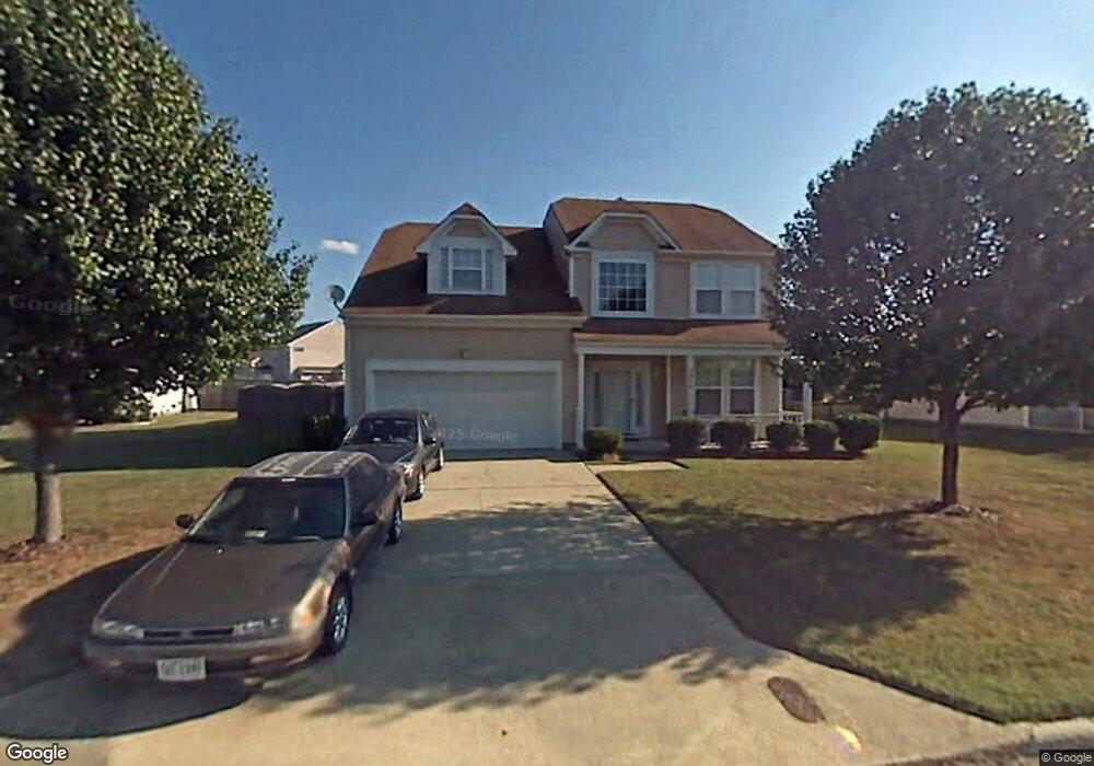
2916 Crosstie Ln Chesapeake, VA 23323
Deep Creek-Portsmouth NeighborhoodEstimated Value: $509,627 - $535,000
4
Beds
3
Baths
2,372
Sq Ft
$219/Sq Ft
Est. Value
About This Home
This home is located at 2916 Crosstie Ln, Chesapeake, VA 23323 and is currently estimated at $519,407, approximately $218 per square foot. 2916 Crosstie Ln is a home located in Chesapeake City with nearby schools including Grassfield Elementary School, Hugo a Owens Middle, and Grassfield High School.
Ownership History
Date
Name
Owned For
Owner Type
Purchase Details
Closed on
Aug 18, 2017
Sold by
Mendez Angela M
Bought by
Sulman Scott
Current Estimated Value
Home Financials for this Owner
Home Financials are based on the most recent Mortgage that was taken out on this home.
Original Mortgage
$325,395
Outstanding Balance
$272,028
Interest Rate
4.03%
Mortgage Type
VA
Estimated Equity
$247,379
Purchase Details
Closed on
Oct 1, 2014
Sold by
Davis Jacqueline E
Bought by
Mendez Angela M
Home Financials for this Owner
Home Financials are based on the most recent Mortgage that was taken out on this home.
Original Mortgage
$286,020
Interest Rate
4.11%
Mortgage Type
VA
Purchase Details
Closed on
Feb 25, 2000
Sold by
Little Roderick V
Bought by
Davis Jacqueline E
Home Financials for this Owner
Home Financials are based on the most recent Mortgage that was taken out on this home.
Original Mortgage
$147,750
Interest Rate
8.15%
Create a Home Valuation Report for This Property
The Home Valuation Report is an in-depth analysis detailing your home's value as well as a comparison with similar homes in the area
Home Values in the Area
Average Home Value in this Area
Purchase History
| Date | Buyer | Sale Price | Title Company |
|---|---|---|---|
| Sulman Scott | $315,000 | Attorney | |
| Mendez Angela M | $280,000 | -- | |
| Davis Jacqueline E | $145,000 | -- |
Source: Public Records
Mortgage History
| Date | Status | Borrower | Loan Amount |
|---|---|---|---|
| Open | Sulman Scott | $325,395 | |
| Previous Owner | Mendez Angela M | $286,020 | |
| Previous Owner | Davis Jacqueline E | $147,750 |
Source: Public Records
Tax History Compared to Growth
Tax History
| Year | Tax Paid | Tax Assessment Tax Assessment Total Assessment is a certain percentage of the fair market value that is determined by local assessors to be the total taxable value of land and additions on the property. | Land | Improvement |
|---|---|---|---|---|
| 2025 | $4,655 | $467,200 | $185,000 | $282,200 |
| 2024 | $4,655 | $460,900 | $165,000 | $295,900 |
| 2023 | $3,936 | $431,400 | $135,000 | $296,400 |
| 2022 | $3,937 | $389,800 | $125,000 | $264,800 |
| 2021 | $3,512 | $334,500 | $105,000 | $229,500 |
| 2020 | $3,390 | $322,900 | $105,000 | $217,900 |
| 2019 | $3,204 | $305,100 | $105,000 | $200,100 |
| 2018 | $3,286 | $313,000 | $105,000 | $208,000 |
| 2017 | $3,052 | $290,700 | $95,000 | $195,700 |
| 2016 | $2,974 | $283,200 | $95,000 | $188,200 |
| 2015 | $2,897 | $275,900 | $100,000 | $175,900 |
| 2014 | $2,858 | $272,200 | $100,000 | $172,200 |
Source: Public Records
Map
Nearby Homes
- 212 Andiron Arch
- 3009 Patrick Henry Dr
- 3111 Yuban St
- 449 Sawyers Mill Crossing
- 828 Olmstead St
- 3115 Conservancy Dr
- 3101 Holly Ridge Dr
- 253 George Washington Hwy S
- 709 Phalarope St
- 3108 Old Rock St
- 3122 Old Rock St
- 743 Arbuckle St
- 421 Willow Bend Dr
- 3216 Meanley Dr
- 3308 Patrick Henry Dr
- 509 Lake Crest Dr
- 929 Skicoat St
- 185 George Washington Hwy S
- 415 Triton Trace
- 958 Olmstead St
- 2912 Crosstie Ln
- 2920 Crosstie Ln
- 2809 Cistern Cir
- 2915 Crosstie Ln
- 2924 Crosstie Ln
- 2908 Crosstie Ln
- 2805 Cistern Cir
- 2808 Cistern Cir
- 402 Crosstie Ct
- 2926 Crosstie Ln
- 2921 Crosstie Ln
- 2925 Crosstie Ln
- 410 Lodge Cove
- 2804 Cistern Cir
- 400 Crosstie Ct
- 2801 Cistern Cir
- 404 Iron Bridge Ln
- 409 Lodge Cove
- 401 Crosstie Ct
- 2800 Cistern Cir