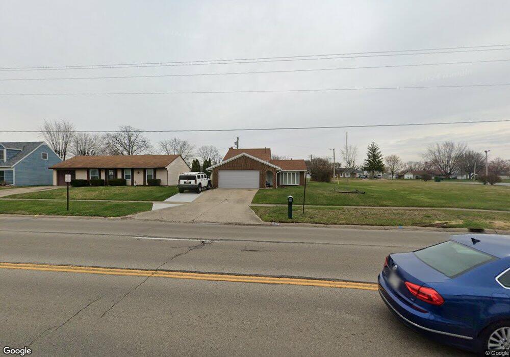
2916 Derr Rd Springfield, OH 45503
Estimated Value: $184,000 - $242,000
3
Beds
2
Baths
1,110
Sq Ft
$192/Sq Ft
Est. Value
About This Home
This home is located at 2916 Derr Rd, Springfield, OH 45503 and is currently estimated at $213,154, approximately $192 per square foot. 2916 Derr Rd is a home located in Clark County with nearby schools including Kenton Elementary School, Roosevelt Middle School, and Springfield High School.
Ownership History
Date
Name
Owned For
Owner Type
Purchase Details
Closed on
Apr 7, 1999
Sold by
Professional Investment Corp
Bought by
Scott Robert and Scott Diane
Current Estimated Value
Home Financials for this Owner
Home Financials are based on the most recent Mortgage that was taken out on this home.
Original Mortgage
$94,500
Outstanding Balance
$22,353
Interest Rate
6.99%
Mortgage Type
VA
Estimated Equity
$190,801
Purchase Details
Closed on
Mar 17, 1997
Sold by
Burton Robert L
Bought by
Williams Sara L
Purchase Details
Closed on
Feb 1, 1994
Create a Home Valuation Report for This Property
The Home Valuation Report is an in-depth analysis detailing your home's value as well as a comparison with similar homes in the area
Home Values in the Area
Average Home Value in this Area
Purchase History
| Date | Buyer | Sale Price | Title Company |
|---|---|---|---|
| Scott Robert | $94,500 | Gem City Land Title Agency I | |
| Williams Sara L | $90,500 | -- | |
| -- | $77,000 | -- |
Source: Public Records
Mortgage History
| Date | Status | Borrower | Loan Amount |
|---|---|---|---|
| Open | Scott Robert | $94,500 | |
| Closed | Williams Sara L | $0 |
Source: Public Records
Tax History
| Year | Tax Paid | Tax Assessment Tax Assessment Total Assessment is a certain percentage of the fair market value that is determined by local assessors to be the total taxable value of land and additions on the property. | Land | Improvement |
|---|---|---|---|---|
| 2025 | $2,681 | $67,510 | $10,470 | $57,040 |
| 2024 | $2,612 | $54,190 | $9,940 | $44,250 |
| 2023 | $2,612 | $54,190 | $9,940 | $44,250 |
| 2022 | $2,675 | $54,190 | $9,940 | $44,250 |
| 2021 | $2,273 | $42,520 | $7,480 | $35,040 |
| 2020 | $2,279 | $42,520 | $7,480 | $35,040 |
| 2019 | $2,284 | $42,520 | $7,480 | $35,040 |
| 2018 | $2,136 | $38,190 | $7,920 | $30,270 |
| 2017 | $2,134 | $39,120 | $7,924 | $31,196 |
| 2016 | $2,137 | $39,120 | $7,924 | $31,196 |
| 2015 | $2,038 | $38,672 | $7,476 | $31,196 |
| 2014 | $2,029 | $38,672 | $7,476 | $31,196 |
| 2013 | $2,008 | $38,672 | $7,476 | $31,196 |
Source: Public Records
Map
Nearby Homes
- 3124 El Camino Dr
- 2553 Derr Rd
- 3135 Imperial Blvd
- 1032 Armsgate Rd
- 1924 Marinette Dr
- 1046 Fruitland Rd
- 1811 Devon Dr
- 615 Villa Rd Unit K
- 2824 Balsam Dr
- 1040 Carson Ln
- 1139 Bradford Dr
- 1948 Falmouth Ave
- 3021 Argonne Ln N
- 3027 Argonne Ln N Unit 3027
- 3214 Revels St
- 3250 Argonne Ln N
- 3153 Argonne Ln N
- 2529 Marinette Dr
- 3247 Argonne Ln N Unit 3247
- 1136 Foxboro Rd Unit 202
Your Personal Tour Guide
Ask me questions while you tour the home.