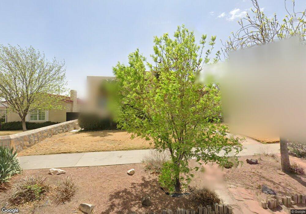
2916 Federal Ave El Paso, TX 79930
Manhattan Heights NeighborhoodEstimated Value: $372,000 - $454,468
4
Beds
3
Baths
2,710
Sq Ft
$152/Sq Ft
Est. Value
About This Home
This home is located at 2916 Federal Ave, El Paso, TX 79930 and is currently estimated at $411,867, approximately $151 per square foot. 2916 Federal Ave is a home located in El Paso County with nearby schools including Crockett Elementary School, Armendariz Middle School, and Middle School-5 NW Middle.
Ownership History
Date
Name
Owned For
Owner Type
Purchase Details
Closed on
May 30, 2012
Sold by
Miller Lilyane R and Miller Lilyane L
Bought by
Engle Mark Alan and Pasillas Rebecca Melissa
Current Estimated Value
Home Financials for this Owner
Home Financials are based on the most recent Mortgage that was taken out on this home.
Original Mortgage
$197,600
Outstanding Balance
$137,584
Interest Rate
3.93%
Mortgage Type
New Conventional
Estimated Equity
$274,283
Purchase Details
Closed on
Sep 26, 2011
Sold by
Miller Lilyane R and Miller John Keith
Bought by
Miller Lilyane R and Miller Lilyane L
Create a Home Valuation Report for This Property
The Home Valuation Report is an in-depth analysis detailing your home's value as well as a comparison with similar homes in the area
Home Values in the Area
Average Home Value in this Area
Purchase History
| Date | Buyer | Sale Price | Title Company |
|---|---|---|---|
| Engle Mark Alan | -- | Rbt | |
| Miller Lilyane R | -- | None Available |
Source: Public Records
Mortgage History
| Date | Status | Borrower | Loan Amount |
|---|---|---|---|
| Open | Engle Mark Alan | $197,600 |
Source: Public Records
Tax History Compared to Growth
Tax History
| Year | Tax Paid | Tax Assessment Tax Assessment Total Assessment is a certain percentage of the fair market value that is determined by local assessors to be the total taxable value of land and additions on the property. | Land | Improvement |
|---|---|---|---|---|
| 2025 | $5,841 | $295,852 | -- | -- |
| 2024 | $5,841 | $268,956 | -- | -- |
| 2023 | $5,563 | $244,505 | $0 | $0 |
| 2022 | $6,580 | $222,277 | $0 | $0 |
| 2021 | $6,309 | $202,070 | $31,136 | $170,934 |
| 2020 | $6,089 | $198,115 | $27,721 | $170,394 |
| 2018 | $5,767 | $194,849 | $27,721 | $167,128 |
| 2017 | $5,410 | $192,073 | $27,721 | $164,352 |
| 2016 | $5,410 | $192,073 | $27,721 | $164,352 |
| 2015 | $4,940 | $192,073 | $27,721 | $164,352 |
| 2014 | $4,940 | $189,411 | $27,721 | $161,690 |
Source: Public Records
Map
Nearby Homes
- 1712 Elm St
- 1701 Elm St
- 2735 Aurora Ave
- 3116 Wheeling Ave
- 2630 Wheeling Ave
- 2624 Aurora Ave
- 1813 & 181 Alabama St
- 2510 Federal Ave
- 2612 San Jose Ave
- 2413 Copper Ave
- 2520 San Jose Ave Unit 4C
- 2520 San Jose Ave Unit 4D
- 2805 Grant Ave
- 2406 Lebanon Ave
- 2903 Savannah Ave
- 1605 Dakota St
- 3408 Lebanon Ave
- 3009 Savannah Ave
- 3132 Pershing Dr
- 3508 Douglas Ave
- 2912 Federal Ave
- 2920 Federal Ave
- 2908 Federal Ave
- 2911 Copper Ave
- 2909 Copper Ave
- 2923 Copper Ave
- 2904 Federal Ave
- 2905 Copper Ave
- 2925 Copper Ave
- 2919 Federal Ave
- 2915 Federal Ave
- 2903 Copper Ave
- 2900 Federal Ave
- 2927 Copper Ave
- 3000 Federal Ave
- 2901 Copper Ave
- 3001 Federal Ave
- 2901 Federal Ave
- 2929 Copper Ave
- 3009 Federal Ave