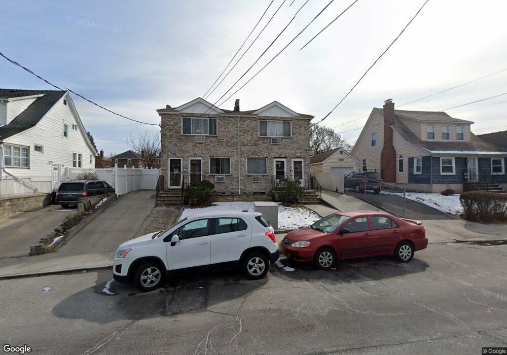
2916 Sampson Ave Unit 1 Bronx, NY 10465
Throgs Neck-Edgewater Park NeighborhoodEstimated Value: $896,000 - $993,000
Studio
2
Baths
2,391
Sq Ft
$401/Sq Ft
Est. Value
About This Home
This home is located at 2916 Sampson Ave Unit 1, Bronx, NY 10465 and is currently estimated at $957,666, approximately $400 per square foot. 2916 Sampson Ave Unit 1 is a home located in Bronx County with nearby schools including P.S. 72 - Dr. William Dorney, Herbert H Lehman High School, and St. Frances de Chantal School.
Ownership History
Date
Name
Owned For
Owner Type
Purchase Details
Closed on
Jul 7, 2011
Sold by
Manessis Maria A
Bought by
Manessis Trustee Maria A and Manessis Trustee Stamatis N
Current Estimated Value
Purchase Details
Closed on
Apr 20, 2006
Sold by
Sbs Sampson Llc
Bought by
Manessis George
Home Financials for this Owner
Home Financials are based on the most recent Mortgage that was taken out on this home.
Original Mortgage
$424,000
Interest Rate
6.4%
Mortgage Type
Purchase Money Mortgage
Purchase Details
Closed on
May 14, 2003
Sold by
Sampson Blue Shores Inc
Bought by
Sbs Sampson Llc
Create a Home Valuation Report for This Property
The Home Valuation Report is an in-depth analysis detailing your home's value as well as a comparison with similar homes in the area
Home Values in the Area
Average Home Value in this Area
Purchase History
| Date | Buyer | Sale Price | Title Company |
|---|---|---|---|
| Manessis Trustee Maria A | -- | -- | |
| Manessis Trustee Maria A | -- | -- | |
| Manessis Trustee Maria A | -- | -- | |
| Manessis George | $539,672 | -- | |
| Manessis George | $539,672 | -- | |
| Manessis George | $539,672 | -- | |
| Sbs Sampson Llc | -- | -- | |
| Sbs Sampson Llc | -- | -- | |
| Sbs Sampson Llc | -- | -- |
Source: Public Records
Mortgage History
| Date | Status | Borrower | Loan Amount |
|---|---|---|---|
| Previous Owner | Manessis George | $424,000 |
Source: Public Records
Tax History
| Year | Tax Paid | Tax Assessment Tax Assessment Total Assessment is a certain percentage of the fair market value that is determined by local assessors to be the total taxable value of land and additions on the property. | Land | Improvement |
|---|---|---|---|---|
| 2025 | $9,007 | $47,532 | $7,183 | $40,349 |
| 2024 | $9,007 | $44,842 | $7,164 | $37,678 |
| 2023 | $9,107 | $44,842 | $7,845 | $36,997 |
| 2022 | $8,791 | $54,120 | $9,720 | $44,400 |
| 2021 | $8,743 | $50,700 | $9,720 | $40,980 |
| 2020 | $8,384 | $50,520 | $9,720 | $40,800 |
| 2019 | $7,817 | $50,640 | $9,720 | $40,920 |
| 2018 | $7,617 | $37,368 | $9,076 | $28,292 |
| 2017 | $7,481 | $36,697 | $9,436 | $27,261 |
| 2016 | $6,921 | $34,620 | $9,720 | $24,900 |
| 2015 | $3,495 | $33,008 | $10,591 | $22,417 |
| 2014 | $3,495 | $31,140 | $10,800 | $20,340 |
Source: Public Records
Map
Nearby Homes
- 416 Revere Ave
- 426 Calhoun Ave
- 449 Revere Ave
- 4190 E Tremont Ave
- 512 Logan Ave
- 541 Edison Ave
- 541 Logan Ave
- 4216 E Tremont Ave
- 244 Revere Ave
- 2976 Lawton Ave
- 249 Calhoun Ave
- 346 Brinsmade Ave
- 238A Throggs Neck Blvd
- 2780 Sampson Ave
- 4246 E Tremont Ave
- 249 Quincy Ave
- 227 Calhoun Ave
- 220 Calhoun Ave
- 276 Brinsmade Ave
- 320 Huntington Ave
- 2916 Sampson Ave
- 2918 Sampson Ave Unit 1
- 2918 Sampson Ave
- 2912 Sampson Ave
- 2922 Sampson Ave
- 2917 Gerber Place
- 2928 Sampson Ave
- 2915 Gerber Place
- 4011 E Tremont Ave
- 2919 Gerber Place
- 4001 E Tremont Ave
- 333 Logan Ave
- 2911 Gerber Place
- 4017 E Tremont Ave
- 2921 Gerber Place
- 4003 E Tremont Ave
- 2923 Gerber Place
- 2923 Sampson Ave Unit 1
- 4005 E Tremont Ave
- 2919 Sampson Ave Unit 2
Your Personal Tour Guide
Ask me questions while you tour the home.