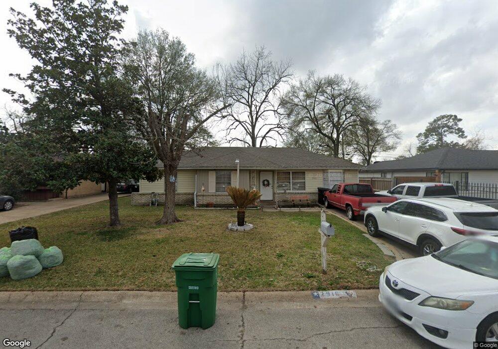
2916 Trenton Rd Houston, TX 77093
Eastex-Jensen NeighborhoodEstimated Value: $181,000 - $197,000
3
Beds
1
Bath
1,751
Sq Ft
$107/Sq Ft
Est. Value
About This Home
This home is located at 2916 Trenton Rd, Houston, TX 77093 and is currently estimated at $186,557, approximately $106 per square foot. 2916 Trenton Rd is a home located in Harris County with nearby schools including Scarborough Elementary School, Patrick Henry Middle School, and Sam Houston Math, Science & Technology Center.
Ownership History
Date
Name
Owned For
Owner Type
Purchase Details
Closed on
Feb 24, 1995
Sold by
Ray Buel Allen and Ray Ruth M
Bought by
Morales Rubin and Morales Dora A
Current Estimated Value
Home Financials for this Owner
Home Financials are based on the most recent Mortgage that was taken out on this home.
Original Mortgage
$35,600
Interest Rate
9.13%
Create a Home Valuation Report for This Property
The Home Valuation Report is an in-depth analysis detailing your home's value as well as a comparison with similar homes in the area
Home Values in the Area
Average Home Value in this Area
Purchase History
| Date | Buyer | Sale Price | Title Company |
|---|---|---|---|
| Morales Rubin | -- | Texas American Title Company |
Source: Public Records
Mortgage History
| Date | Status | Borrower | Loan Amount |
|---|---|---|---|
| Closed | Morales Rubin | $35,600 | |
| Closed | Morales Rubin | $1,968 |
Source: Public Records
Tax History Compared to Growth
Tax History
| Year | Tax Paid | Tax Assessment Tax Assessment Total Assessment is a certain percentage of the fair market value that is determined by local assessors to be the total taxable value of land and additions on the property. | Land | Improvement |
|---|---|---|---|---|
| 2025 | $1,165 | $153,824 | $50,778 | $103,046 |
| 2024 | $1,165 | $144,896 | $41,850 | $103,046 |
| 2023 | $1,165 | $145,731 | $41,850 | $103,881 |
| 2022 | $2,158 | $130,955 | $27,900 | $103,055 |
| 2021 | $2,077 | $103,663 | $18,135 | $85,528 |
| 2020 | $1,962 | $100,118 | $18,135 | $81,983 |
| 2019 | $1,864 | $94,403 | $15,345 | $79,058 |
| 2018 | $1,060 | $66,952 | $15,345 | $51,607 |
| 2017 | $1,693 | $66,952 | $15,345 | $51,607 |
| 2016 | $1,549 | $61,265 | $15,345 | $45,920 |
| 2015 | $1,137 | $61,265 | $15,345 | $45,920 |
| 2014 | $1,137 | $63,694 | $15,345 | $48,349 |
Source: Public Records
Map
Nearby Homes
- 1728 Little York Rd
- 1904 Little York Rd
- 2636 Lone Oak Rd
- 2629 Kowis St
- 2817 Cromwell St
- 4918 Langley Rd
- 3418 Hopper Rd
- 2315 Langley Rd
- 3804 Cedar Hill Ln
- 2332 Margaret St
- 3214 Brea Crest St
- 2415 Goodloe St
- 2915 Brea Crest St
- 2311 Warwick Rd
- 2237 Cromwell St
- 2152 William Tell St
- 2122 Kowis St
- 3202 Parker Rd
- 2326 Sunny Dr
- 11716 Innsbury Dr
- 2920 Trenton Rd
- 2912 Trenton Rd
- 2915 Barksdale Dr
- 2919 Barksdale Dr
- 2924 Trenton Rd
- 2911 Barksdale Dr
- 2908 Trenton Rd
- 2923 Barksdale Dr
- 2915 Trenton Rd
- 2911 Trenton Rd
- 2919 Trenton Rd
- 2907 Barksdale Dr
- 2928 Trenton Rd
- 2927 Barksdale Dr
- 2907 Trenton Rd
- 2923 Trenton Rd
- 2927 Trenton Rd
- 2932 Trenton Rd
- 2920 Barksdale Dr
- 2916 Cricket Ln