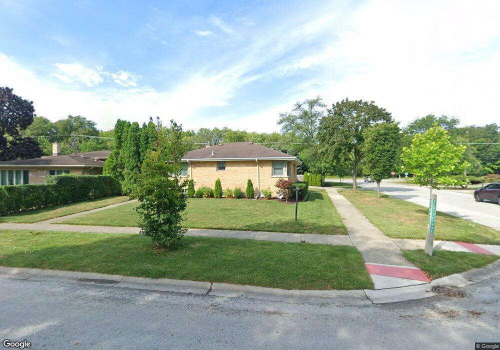
2917 Scottlynne Dr Park Ridge, IL 60068
Estimated Value: $558,000 - $712,000
3
Beds
3
Baths
1,809
Sq Ft
$339/Sq Ft
Est. Value
About This Home
This home is located at 2917 Scottlynne Dr, Park Ridge, IL 60068 and is currently estimated at $613,007, approximately $338 per square foot. 2917 Scottlynne Dr is a home located in Cook County with nearby schools including George B Carpenter Elementary School, Lincoln Middle School, and Maine South High School.
Ownership History
Date
Name
Owned For
Owner Type
Purchase Details
Closed on
May 15, 2009
Sold by
Barthel Patrick G
Bought by
Plewa Angela
Current Estimated Value
Home Financials for this Owner
Home Financials are based on the most recent Mortgage that was taken out on this home.
Original Mortgage
$319,113
Outstanding Balance
$202,165
Interest Rate
4.9%
Mortgage Type
FHA
Estimated Equity
$410,842
Purchase Details
Closed on
Sep 12, 2005
Sold by
Nitti Mildred L
Bought by
Nitti Mildred L and Mildred L Nitti Trust
Create a Home Valuation Report for This Property
The Home Valuation Report is an in-depth analysis detailing your home's value as well as a comparison with similar homes in the area
Home Values in the Area
Average Home Value in this Area
Purchase History
| Date | Buyer | Sale Price | Title Company |
|---|---|---|---|
| Plewa Angela | $325,000 | Cti | |
| Nitti Mildred L | -- | -- |
Source: Public Records
Mortgage History
| Date | Status | Borrower | Loan Amount |
|---|---|---|---|
| Open | Plewa Angela | $319,113 |
Source: Public Records
Tax History Compared to Growth
Tax History
| Year | Tax Paid | Tax Assessment Tax Assessment Total Assessment is a certain percentage of the fair market value that is determined by local assessors to be the total taxable value of land and additions on the property. | Land | Improvement |
|---|---|---|---|---|
| 2024 | $9,548 | $38,495 | $9,750 | $28,745 |
| 2023 | $10,768 | $44,827 | $9,750 | $35,077 |
| 2022 | $10,768 | $44,827 | $9,750 | $35,077 |
| 2021 | $8,541 | $31,412 | $6,375 | $25,037 |
| 2020 | $10,681 | $39,673 | $6,375 | $33,298 |
| 2019 | $10,595 | $44,082 | $6,375 | $37,707 |
| 2018 | $9,983 | $38,320 | $5,625 | $32,695 |
| 2017 | $9,958 | $38,320 | $5,625 | $32,695 |
| 2016 | $9,829 | $38,320 | $5,625 | $32,695 |
| 2015 | $8,093 | $28,862 | $4,875 | $23,987 |
| 2014 | $7,950 | $28,862 | $4,875 | $23,987 |
| 2013 | $7,513 | $28,862 | $4,875 | $23,987 |
Source: Public Records
Map
Nearby Homes
- 22 Park Ln Unit 203
- 44 Park Ln Unit 223
- 44 Park Ln Unit 435
- 300 Boardwalk Place Unit T300
- 832 Sylviawood Ave
- 901 Florence Dr
- 2121 W Sibley St
- 38 E Touhy Ave
- 2405 Avondale Ave
- 20 S Dee Rd
- 60 S Dee Rd Unit G
- 601 N Broadway Ave
- 200 Thames Pkwy Unit 1
- 2166 Laura Ln
- 911 Busse Hwy Unit 302
- 1895 Welwyn Ave
- 2308 Oakton St
- 2200 Bouterse St Unit 407
- 2200 Bouterse St Unit 409B
- 1100 Potter Rd
- 2915 Scottlynne Dr
- 2913 Scottlynne Dr
- 600 Wesley Dr
- 2919 W Sibley St
- 606 Wesley Dr
- 2911 Scottlynne Dr
- 2910 Scottlynne Dr
- 3010 W Sibley St
- 3010 W Sibley St
- 601 Wesley Dr
- 2913 W Sibley St
- 610 Wesley Dr
- 607 Wesley Dr
- 2909 Scottlynne Dr
- 2908 Scottlynne Dr
- 611 Riverside Dr
- 2907 W Sibley St
- 611 Wesley Dr
- 2907 Scottlynne Dr
- 600 Goodwin Dr