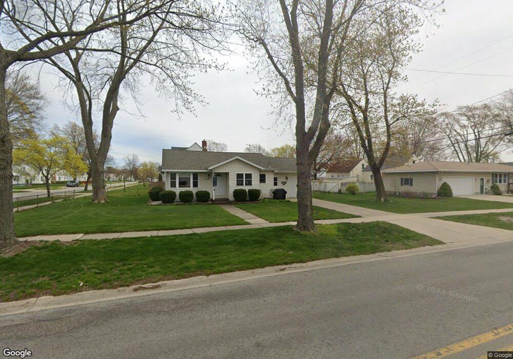
2918 Glenside Blvd Muskegon, MI 49441
Roosevelt Park NeighborhoodEstimated Value: $192,136 - $225,000
2
Beds
2
Baths
904
Sq Ft
$231/Sq Ft
Est. Value
About This Home
This home is located at 2918 Glenside Blvd, Muskegon, MI 49441 and is currently estimated at $208,784, approximately $230 per square foot. 2918 Glenside Blvd is a home located in Muskegon County with nearby schools including Mona Shores High School, West Shore Lutheran School, and St. Francis De Sales Elementary School.
Ownership History
Date
Name
Owned For
Owner Type
Purchase Details
Closed on
Sep 15, 2008
Sold by
Schoonbeck William R and Schoonbeck Shelley
Bought by
Schoonbeck Shelley A and Shelley A Schoonbeck Trust
Current Estimated Value
Purchase Details
Closed on
Aug 11, 2008
Sold by
Schoonbeck Shelley A
Bought by
Schoonbeck Shelley A and Shelley A Schoonbeck Trust
Purchase Details
Closed on
Mar 14, 2003
Sold by
Schoonbeck Shelley and Schoonbeck William R
Bought by
Schoonbeck William R and Schoonbeck Shelley
Create a Home Valuation Report for This Property
The Home Valuation Report is an in-depth analysis detailing your home's value as well as a comparison with similar homes in the area
Home Values in the Area
Average Home Value in this Area
Purchase History
| Date | Buyer | Sale Price | Title Company |
|---|---|---|---|
| Schoonbeck Shelley A | -- | None Available | |
| Schoonbeck Shelley A | -- | None Available | |
| Schoonbeck William R | -- | -- |
Source: Public Records
Tax History Compared to Growth
Tax History
| Year | Tax Paid | Tax Assessment Tax Assessment Total Assessment is a certain percentage of the fair market value that is determined by local assessors to be the total taxable value of land and additions on the property. | Land | Improvement |
|---|---|---|---|---|
| 2025 | $1,510 | $78,900 | $0 | $0 |
| 2024 | $579 | $70,000 | $0 | $0 |
| 2023 | $554 | $62,600 | $0 | $0 |
| 2022 | $1,377 | $54,800 | $0 | $0 |
| 2021 | $1,311 | $50,200 | $0 | $0 |
| 2020 | $1,296 | $46,800 | $0 | $0 |
| 2019 | $1,272 | $37,000 | $0 | $0 |
| 2018 | $1,242 | $33,900 | $0 | $0 |
| 2017 | $1,214 | $33,100 | $0 | $0 |
| 2016 | $461 | $29,400 | $0 | $0 |
| 2015 | -- | $25,300 | $0 | $0 |
| 2014 | -- | $27,700 | $0 | $0 |
| 2013 | -- | $25,900 | $0 | $0 |
Source: Public Records
Map
Nearby Homes
- 1377 Princeton Rd
- 1521 Cornell Rd
- 2881 Cornell Ct
- 1448 Marlboro Rd
- 1480 Marlboro Rd
- 1582 Haverhill Rd
- 1689 Bonneville Dr
- 3246 Royal Oak Rd
- 1059 W Summit Ave
- 1752 Bonneville Dr
- 1405 Winchester Dr
- 1564 Montague Ave
- 2552 Wickham Dr
- 3320 Davis Rd
- 1733 Woodside Rd
- 1543 Randolph Ave
- 1705 Montague Ave
- 893 Post Rd
- 1729 Winchester Dr
- 868 Post Rd
- 1377 W Summit Ave
- 1369 W Summit Ave
- 1378 Princeton Rd
- 2919 Glenside Blvd
- 2934 Glenside Blvd
- 1370 Princeton Rd
- 1363 W Summit Ave
- 1378 W Summit Ave
- 1364 Princeton Rd
- 2935 Glenside Blvd
- 1370 W Summit Ave
- 1357 W Summit Ave
- 1364 W Summit Ave
- 1358 Princeton Rd
- 1424 Princeton Rd
- 2858 Glenside Blvd
- 1423 W Summit Ave
- 1358 W Summit Ave
- 1349 W Summit Ave
- 1350 Princeton Rd