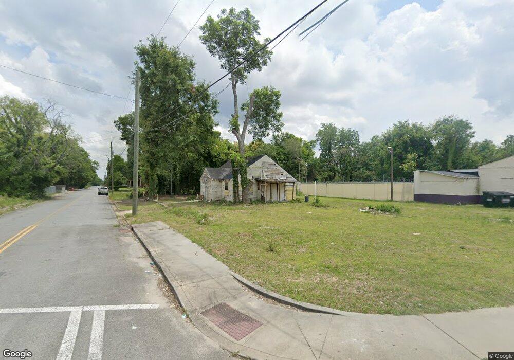
2918 Houston Ave Macon, GA 31206
Estimated Value: $63,306 - $90,000
1
Bed
2
Baths
1,548
Sq Ft
$49/Sq Ft
Est. Value
About This Home
This home is located at 2918 Houston Ave, Macon, GA 31206 and is currently estimated at $76,327, approximately $49 per square foot. 2918 Houston Ave is a home located in Bibb County with nearby schools including Ingram-Pye Elementary School, Central High School, and Cirrus Charter Academy.
Ownership History
Date
Name
Owned For
Owner Type
Purchase Details
Closed on
Jul 9, 2021
Sold by
Macon-Bibb County Land Bank Authority
Bought by
David Michaelle
Current Estimated Value
Purchase Details
Closed on
Jun 16, 2021
Sold by
Macon Bibb County
Bought by
Macon Bibb County Land Bank Authority
Purchase Details
Closed on
Nov 7, 2011
Sold by
Syme Ricky
Bought by
Jordan Deante
Purchase Details
Closed on
Nov 21, 2008
Sold by
Syme Faye
Bought by
Syme Richard W H
Purchase Details
Closed on
Sep 27, 1989
Sold by
K S Properties
Bought by
Syme - Syme Properties
Create a Home Valuation Report for This Property
The Home Valuation Report is an in-depth analysis detailing your home's value as well as a comparison with similar homes in the area
Purchase History
| Date | Buyer | Sale Price | Title Company |
|---|---|---|---|
| David Michaelle | $9,000 | None Listed On Document | |
| Macon Bibb County Land Bank Authority | $9,033 | None Available | |
| Jordan Deante | -- | None Available | |
| Syme Richard W H | -- | None Available | |
| Syme - Syme Properties | -- | -- |
Source: Public Records
Tax History
| Year | Tax Paid | Tax Assessment Tax Assessment Total Assessment is a certain percentage of the fair market value that is determined by local assessors to be the total taxable value of land and additions on the property. | Land | Improvement |
|---|---|---|---|---|
| 2025 | $509 | $20,701 | $3,960 | $16,741 |
| 2024 | $526 | $20,701 | $3,960 | $16,741 |
| 2023 | $302 | $10,182 | $2,640 | $7,542 |
| 2022 | $188 | $5,439 | $4,593 | $846 |
| 2021 | $280 | $7,376 | $4,593 | $2,783 |
| 2020 | $286 | $7,376 | $4,593 | $2,783 |
| 2019 | $289 | $7,376 | $4,593 | $2,783 |
| 2018 | $802 | $7,376 | $4,593 | $2,783 |
| 2017 | $276 | $7,376 | $4,593 | $2,783 |
| 2016 | $255 | $7,376 | $4,593 | $2,783 |
| 2015 | $361 | $7,376 | $4,593 | $2,783 |
| 2014 | $431 | $7,655 | $4,593 | $3,062 |
Source: Public Records
Map
Nearby Homes
- 622 Cleveland St
- 2920 Houston Ave
- 2890 Bacon St
- 579 Rutherford Ave
- 648 Hightower Rd
- 537 Rutherford Ave
- 534 Hanson St
- 532 Nelson St
- 678 Dixie Ave
- 780 Ponce de Leon Ave
- 2872 Antioch Rd
- 823 Ponce de Leon Ave
- 2752 Antioch Rd
- 579 Charles St
- 837 Lackey Dr
- 548 Colquitt St
- 586 Robert Henry St
- 578 Robert Henry St
- 534 Robert Henry St
- 3402 Antioch Rd
- 2882 Houston Ave
- 622 Cleveland Street Ln
- 2921 Houston Ave
- 669 Rutherford Ave
- 2874 Houston Ave
- 657 Rutherford Ave
- 645 Rutherford Ave
- 614 Cleveland St Unit 4250 Ayers rd macon
- 614 Cleveland St
- 614 Cleveland St Unit B
- 614 Cleveland St Unit A
- 614 Cleveland St
- 625 Cleveland St
- 2856 Houston Ave
- 641 Rutherford Ave
- 613 Cleveland St
- 608 Cleveland St
- 635 Rutherford Ave
- 2941 Bacon St
- 2840 Houston Ave
Your Personal Tour Guide
Ask me questions while you tour the home.