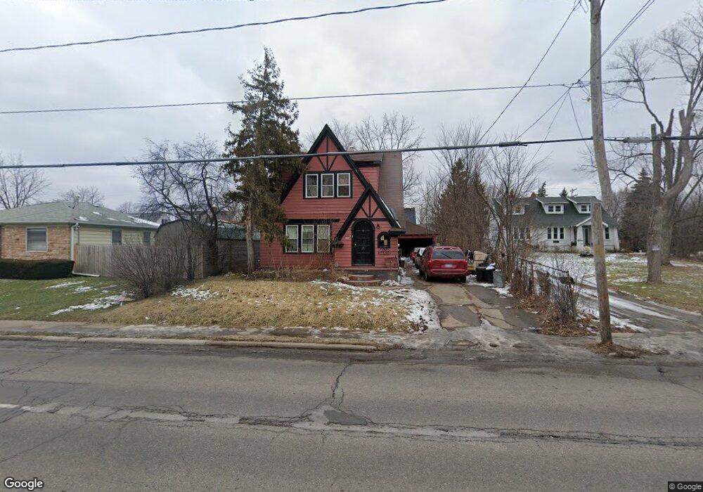
2918 Miller Rd Flint, MI 48503
Chevrolet NeighborhoodEstimated Value: $90,652 - $119,000
4
Beds
2
Baths
1,481
Sq Ft
$70/Sq Ft
Est. Value
About This Home
This home is located at 2918 Miller Rd, Flint, MI 48503 and is currently estimated at $103,663, approximately $69 per square foot. 2918 Miller Rd is a home located in Genesee County with nearby schools including Durant-Tuuri-Mott Elementary School, Flint Southwestern Classical Academy, and St. Paul Lutheran School.
Ownership History
Date
Name
Owned For
Owner Type
Purchase Details
Closed on
Feb 8, 2021
Sold by
Genesee County Land Bank
Bought by
Hudson Kristian-Michelle Lynn and Rhinebolt Christopher Earl
Current Estimated Value
Purchase Details
Closed on
Jun 20, 2016
Sold by
Genesee County Land Bank Authority
Bought by
Hudson Kristian Michelle Lynn and Rhinebolt Christopher Earl
Purchase Details
Closed on
Jul 13, 2015
Sold by
The Genesee County Land Bank Authority
Bought by
Munro Lisa Marie Garnett and Hudson Kristian Michelle Lynn
Purchase Details
Closed on
Dec 22, 2014
Sold by
Genesee County Treasurer
Bought by
Genesee County Land Bank
Create a Home Valuation Report for This Property
The Home Valuation Report is an in-depth analysis detailing your home's value as well as a comparison with similar homes in the area
Home Values in the Area
Average Home Value in this Area
Purchase History
| Date | Buyer | Sale Price | Title Company |
|---|---|---|---|
| Hudson Kristian-Michelle Lynn | $10,000 | None Listed On Document | |
| Hudson Kristian Michelle Lynn | -- | None Available | |
| Genesee County Land Bank Authority | -- | None Available | |
| Munro Lisa Marie Garnett | $10,000 | None Available | |
| Genesee County Land Bank | -- | None Available |
Source: Public Records
Tax History
| Year | Tax Paid | Tax Assessment Tax Assessment Total Assessment is a certain percentage of the fair market value that is determined by local assessors to be the total taxable value of land and additions on the property. | Land | Improvement |
|---|---|---|---|---|
| 2025 | $1,836 | $35,600 | $0 | $0 |
| 2024 | $1,685 | $33,800 | $0 | $0 |
| 2023 | $1,644 | $27,400 | $0 | $0 |
| 2022 | $0 | $24,000 | $0 | $0 |
| 2021 | $1,486 | $21,100 | $0 | $0 |
| 2020 | $1,340 | $20,600 | $0 | $0 |
| 2019 | $1,943 | $19,400 | $0 | $0 |
| 2018 | $1,520 | $18,600 | $0 | $0 |
| 2017 | $1,530 | $0 | $0 | $0 |
| 2016 | $1,544 | $0 | $0 | $0 |
| 2015 | -- | $0 | $0 | $0 |
| 2014 | -- | $0 | $0 | $0 |
| 2012 | -- | $21,300 | $0 | $0 |
Source: Public Records
Map
Nearby Homes
- 3102 Westwood Pkwy
- 2729 Chicago Blvd
- 3214 Clairmont St
- 3310 Larchmont St
- 3402 Brandon St
- 3217 Arlene Ave
- 3317 Arlene Ave
- 3506 Chicago Blvd
- 2624 Miller Rd
- 3510 Hogarth Ave
- 1114 Clancy Ave
- 1202 Knapp Ave
- 1308 Barney Ave
- 2618 Brown St
- 1122 Stocker Ave
- 1412 S Ballenger Hwy
- 2805 Reynolds St
- 3722 Larchmont St
- 3413 Augusta St
- 2537 Swayze St
Your Personal Tour Guide
Ask me questions while you tour the home.