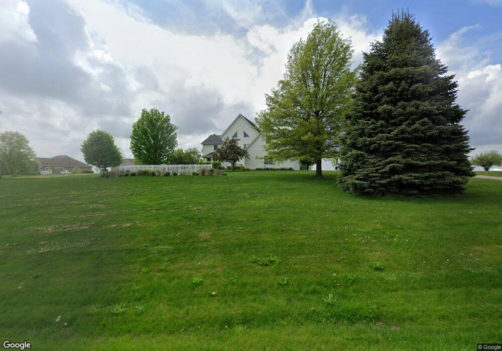
2918 Perry St Hudsonville, MI 49426
Estimated Value: $630,547 - $714,000
4
Beds
4
Baths
3,133
Sq Ft
$217/Sq Ft
Est. Value
About This Home
This home is located at 2918 Perry St, Hudsonville, MI 49426 and is currently estimated at $680,887, approximately $217 per square foot. 2918 Perry St is a home located in Ottawa County with nearby schools including Forest Grove Elementary School, Riley Street Middle School, and Hudsonville Freshman Campus.
Ownership History
Date
Name
Owned For
Owner Type
Purchase Details
Closed on
Sep 30, 2010
Sold by
Federal National Mortgage Association
Bought by
Radcliff Dale M and Radcliff Jennifer M
Current Estimated Value
Home Financials for this Owner
Home Financials are based on the most recent Mortgage that was taken out on this home.
Original Mortgage
$186,800
Outstanding Balance
$123,331
Interest Rate
4.36%
Mortgage Type
New Conventional
Estimated Equity
$557,556
Purchase Details
Closed on
Jun 24, 2010
Sold by
Cobb Jeffrey and Cobb Denise
Bought by
Federal National Mortgage Association
Create a Home Valuation Report for This Property
The Home Valuation Report is an in-depth analysis detailing your home's value as well as a comparison with similar homes in the area
Home Values in the Area
Average Home Value in this Area
Purchase History
| Date | Buyer | Sale Price | Title Company |
|---|---|---|---|
| Radcliff Dale M | $233,500 | Chicago Title | |
| Federal National Mortgage Association | $233,791 | None Available |
Source: Public Records
Mortgage History
| Date | Status | Borrower | Loan Amount |
|---|---|---|---|
| Open | Radcliff Dale M | $186,800 |
Source: Public Records
Tax History Compared to Growth
Tax History
| Year | Tax Paid | Tax Assessment Tax Assessment Total Assessment is a certain percentage of the fair market value that is determined by local assessors to be the total taxable value of land and additions on the property. | Land | Improvement |
|---|---|---|---|---|
| 2025 | $4,907 | $297,100 | $0 | $0 |
| 2024 | $3,937 | $255,500 | $0 | $0 |
| 2023 | $3,760 | $232,800 | $0 | $0 |
| 2022 | $4,438 | $214,000 | $0 | $0 |
| 2021 | $4,327 | $200,200 | $0 | $0 |
| 2020 | $4,307 | $190,200 | $0 | $0 |
| 2019 | $4,217 | $180,500 | $0 | $0 |
| 2018 | $3,966 | $181,300 | $0 | $0 |
| 2017 | $3,867 | $181,300 | $0 | $0 |
| 2016 | -- | $165,800 | $0 | $0 |
| 2015 | -- | $145,200 | $0 | $0 |
| 2014 | -- | $134,600 | $0 | $0 |
Source: Public Records
Map
Nearby Homes
- 2742 Perry St
- 0 Byron Rd Unit 21097738
- 4128 Byron Rd
- 1649 Byron Rd
- 3068 Chalkstone Ln
- 4277 Mason St
- 2325 Riley Ct
- 3572 Aiden Ct
- The Fitzgerald Plan at Spring Grove Village
- The Preston Plan at Spring Grove Village
- The Sebastian Plan at Spring Grove Village
- The Crestview Plan at Spring Grove Village
- The Balsam Plan at Spring Grove Village
- The Jamestown Plan at Spring Grove Village
- The Newport Plan at Spring Grove Village
- The Hadley Plan at Spring Grove Village
- The Hearthside Plan at Spring Grove Village
- The Birkshire II Plan at Spring Grove Village
- The Maxwell Plan at Spring Grove Village
- The Rutherford Plan at Spring Grove Village