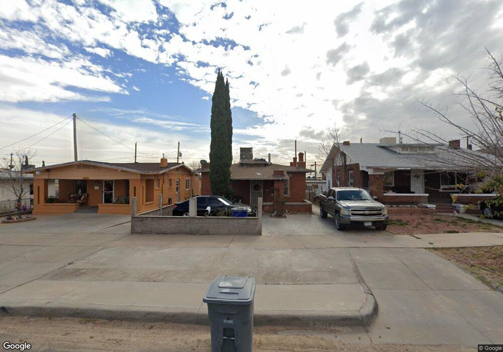
2918 Richmond Ave El Paso, TX 79930
Manhattan Heights NeighborhoodEstimated Value: $104,000 - $215,000
4
Beds
2
Baths
972
Sq Ft
$167/Sq Ft
Est. Value
About This Home
This home is located at 2918 Richmond Ave, El Paso, TX 79930 and is currently estimated at $162,550, approximately $167 per square foot. 2918 Richmond Ave is a home located in El Paso County with nearby schools including Crockett Elementary School, Armendariz Middle School, and Middle School-5 NW Middle.
Ownership History
Date
Name
Owned For
Owner Type
Purchase Details
Closed on
Jan 13, 2015
Sold by
Jaze Investments Lp and Pearson Robert T
Bought by
Malooly Robert and Malooly Robert Robert
Current Estimated Value
Purchase Details
Closed on
Feb 24, 1995
Sold by
Hud
Bought by
Alonso Olivia
Home Financials for this Owner
Home Financials are based on the most recent Mortgage that was taken out on this home.
Original Mortgage
$38,650
Interest Rate
9%
Mortgage Type
FHA
Create a Home Valuation Report for This Property
The Home Valuation Report is an in-depth analysis detailing your home's value as well as a comparison with similar homes in the area
Home Values in the Area
Average Home Value in this Area
Purchase History
| Date | Buyer | Sale Price | Title Company |
|---|---|---|---|
| Malooly Robert | -- | -- | |
| Alonso Olivia | $39,001 | -- |
Source: Public Records
Mortgage History
| Date | Status | Borrower | Loan Amount |
|---|---|---|---|
| Previous Owner | Alonso Olivia | $38,650 |
Source: Public Records
Tax History Compared to Growth
Tax History
| Year | Tax Paid | Tax Assessment Tax Assessment Total Assessment is a certain percentage of the fair market value that is determined by local assessors to be the total taxable value of land and additions on the property. | Land | Improvement |
|---|---|---|---|---|
| 2025 | $2,523 | $125,038 | $24,737 | $100,301 |
| 2024 | $2,523 | $106,194 | $24,737 | $81,457 |
| 2023 | $2,523 | $80,988 | $13,444 | $67,544 |
| 2022 | $2,331 | $78,762 | $13,444 | $65,318 |
| 2021 | $2,067 | $66,192 | $13,444 | $52,748 |
| 2020 | $1,687 | $54,889 | $10,755 | $44,134 |
| 2018 | $1,625 | $54,889 | $10,755 | $44,134 |
| 2017 | $1,525 | $54,156 | $10,755 | $43,401 |
| 2016 | $1,525 | $54,156 | $10,755 | $43,401 |
| 2015 | $1,482 | $54,156 | $10,755 | $43,401 |
| 2014 | $1,482 | $54,156 | $10,755 | $43,401 |
Source: Public Records
Map
Nearby Homes
- 2903 Savannah Ave
- 3009 Savannah Ave
- 2735 Aurora Ave
- 2624 Aurora Ave
- 3116 Wheeling Ave
- 1712 Elm St
- 2630 Wheeling Ave
- 2610 Frankfort Ave
- 1701 Elm St
- 3204 Memphis Ave
- 1813 & 181 Alabama St
- 2917 Mobile Ave
- 2816 N Piedras St
- 3408 Lebanon Ave
- 3018 Sacramento Ave
- 2406 Lebanon Ave
- 2510 Federal Ave
- 2300 Red Sky Ln
- 3215 Mobile Ave
- PN-391630 Alabama St
- 2916 Richmond Ave
- 2920 Richmond Ave
- 2914 Richmond Ave
- 2908 Richmond Ave
- 2115 N Raynor St
- 2117 N Raynor St
- 2111 N Raynor St
- 2919 Louisville Ave
- 2906 Richmond Ave
- 2906 Richmond Ave Unit 1
- 2915 Louisville Ave
- 2921 Louisville Ave
- 2911 Louisville Ave
- 2927 Louisville Ave
- 2909 Louisville Ave
- 2919 Richmond Ave
- 2917 Richmond Ave
- 2921 Richmond Ave
- 2911 Richmond Ave
- 2931 Louisville Ave