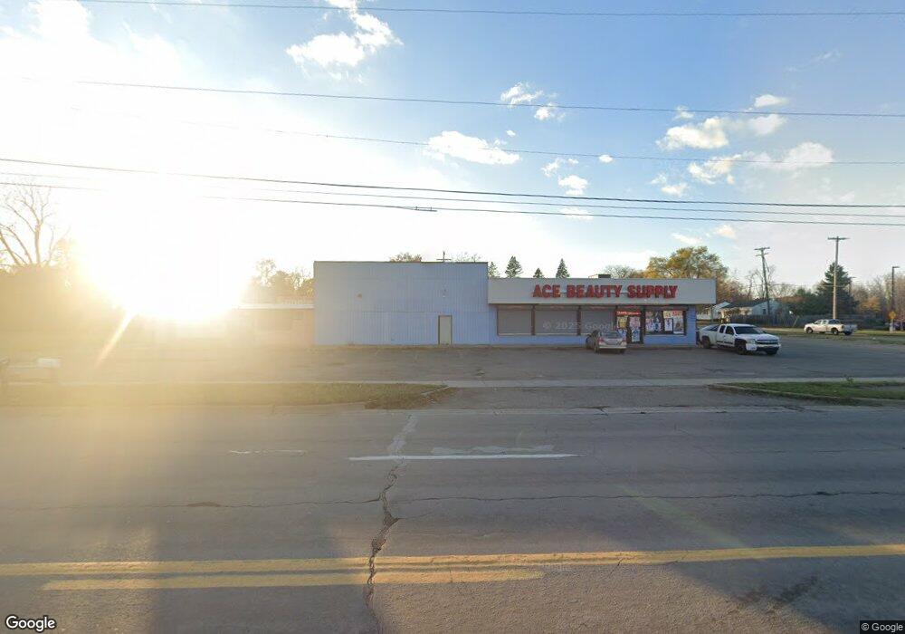
2918 S Dort Hwy Unit 3110 Flint, MI 48507
Circle Neighborhood NeighborhoodEstimated Value: $162,201
--
Bed
--
Bath
3,110
Sq Ft
$52/Sq Ft
Est. Value
About This Home
This home is located at 2918 S Dort Hwy Unit 3110, Flint, MI 48507 and is currently estimated at $162,201, approximately $52 per square foot. 2918 S Dort Hwy Unit 3110 is a home located in Genesee County with nearby schools including Freeman Elementary School, Flint Southwestern Classical Academy, and Burton Glen Charter Academy.
Ownership History
Date
Name
Owned For
Owner Type
Purchase Details
Closed on
Jan 21, 2022
Sold by
Medwed Todd
Bought by
Brown Montez and Harris Omar
Current Estimated Value
Purchase Details
Closed on
Feb 14, 2019
Sold by
M & T Bank
Bought by
Medwed Todd
Purchase Details
Closed on
Oct 25, 2017
Sold by
Battle Mary
Bought by
M And T Bank
Purchase Details
Closed on
Jun 22, 2007
Sold by
First National Acceptance Co
Bought by
Battle Mary
Create a Home Valuation Report for This Property
The Home Valuation Report is an in-depth analysis detailing your home's value as well as a comparison with similar homes in the area
Home Values in the Area
Average Home Value in this Area
Purchase History
| Date | Buyer | Sale Price | Title Company |
|---|---|---|---|
| Brown Montez | $25,000 | Transnation Title | |
| Medwed Todd | $16,500 | Fidelity Land Title Agency | |
| M And T Bank | $33,000 | None Available | |
| Battle Mary | $67,000 | None Available |
Source: Public Records
Tax History Compared to Growth
Tax History
| Year | Tax Paid | Tax Assessment Tax Assessment Total Assessment is a certain percentage of the fair market value that is determined by local assessors to be the total taxable value of land and additions on the property. | Land | Improvement |
|---|---|---|---|---|
| 2025 | $4,228 | $58,700 | $0 | $0 |
| 2024 | $3,828 | $58,300 | $0 | $0 |
| 2023 | $3,677 | $55,500 | $0 | $0 |
| 2022 | $0 | $52,000 | $0 | $0 |
| 2021 | $4,025 | $55,400 | $0 | $0 |
| 2020 | $3,606 | $53,500 | $0 | $0 |
| 2019 | $2,499 | $55,400 | $0 | $0 |
| 2018 | $2,624 | $51,300 | $0 | $0 |
| 2017 | $2,538 | $0 | $0 | $0 |
| 2016 | $2,516 | $0 | $0 | $0 |
| 2015 | -- | $0 | $0 | $0 |
| 2014 | -- | $0 | $0 | $0 |
| 2012 | -- | $36,900 | $0 | $0 |
Source: Public Records
Map
Nearby Homes
- 2910 Shawnee Ave
- 3115 Circle Dr
- 3505 Comanche Ave
- 3614 Comanche Ave
- 3277 Sayre Ct
- 2210 S Term St
- 630 Buckingham Ave
- 621 Burroughs Ave
- 4310 Cheyenne Ave
- 1937 Chelan St
- 454 E Atherton Rd
- 9211 Owen St
- 4424 Cheyenne Ave
- 1917 Whittlesey St
- 1940 Tebo St
- 2221 Howard Ave
- 1925 Gilmartin St
- 1840 Mcphail St
- 1601 Wayne St
- 2224 Crocker Ave
- 2917 Menominee Ave
- 2913 Menominee Ave
- 3001 Menominee Ave
- 2909 Menominee Ave
- 3098 S Dort Hwy
- 3005 Menominee Ave
- 1302 Mohawk Ave
- 3009 Menominee Ave
- 3013 Menominee Ave
- 2914 Menominee Ave
- 2913 S Dort Hwy
- 2918 Menominee Ave
- 1305 Mohawk Ave
- 3002 Menominee Ave
- 2910 Menominee Ave
- 3006 Menominee Ave
- 3101 Menominee Ave
- 3017 Menominee Ave
- 1301 Mohawk Ave
- 1210 Mohawk Ave