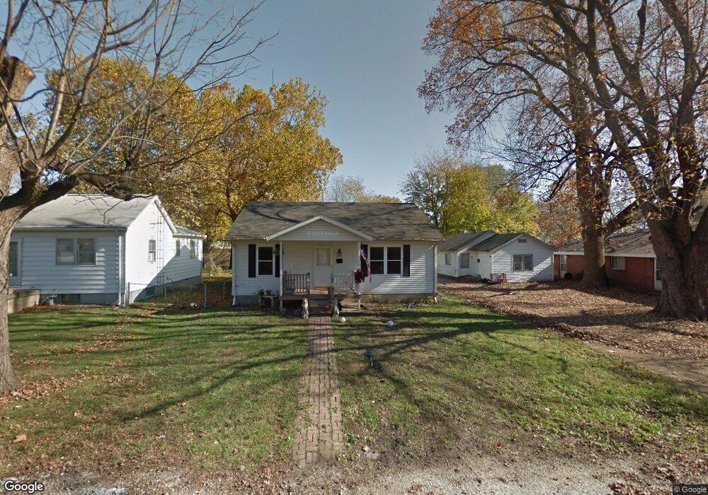
2918 S State St Unit 1 Springfield, IL 62704
Estimated Value: $89,000 - $152,953
3
Beds
2
Baths
1,224
Sq Ft
$94/Sq Ft
Est. Value
About This Home
This home is located at 2918 S State St Unit 1, Springfield, IL 62704 and is currently estimated at $114,738, approximately $93 per square foot. 2918 S State St Unit 1 is a home located in Sangamon County with nearby schools including Black Hawk Elementary School, Jefferson Middle School, and Springfield Southeast High School.
Ownership History
Date
Name
Owned For
Owner Type
Purchase Details
Closed on
Aug 19, 2010
Current Estimated Value
Purchase Details
Closed on
Nov 17, 2009
Purchase Details
Closed on
Jan 27, 2009
Purchase Details
Closed on
Nov 30, 2006
Purchase Details
Closed on
Oct 23, 1998
Purchase Details
Closed on
Oct 16, 1997
Purchase Details
Closed on
Jul 30, 1996
Purchase Details
Closed on
Mar 30, 1995
Create a Home Valuation Report for This Property
The Home Valuation Report is an in-depth analysis detailing your home's value as well as a comparison with similar homes in the area
Home Values in the Area
Average Home Value in this Area
Purchase History
| Date | Buyer | Sale Price | Title Company |
|---|---|---|---|
| -- | $67,000 | -- | |
| -- | -- | -- | |
| -- | -- | -- | |
| -- | $78,900 | -- | |
| -- | $70,000 | -- | |
| -- | $10,000 | -- | |
| -- | $19,000 | -- | |
| -- | -- | -- |
Source: Public Records
Tax History Compared to Growth
Tax History
| Year | Tax Paid | Tax Assessment Tax Assessment Total Assessment is a certain percentage of the fair market value that is determined by local assessors to be the total taxable value of land and additions on the property. | Land | Improvement |
|---|---|---|---|---|
| 2024 | $2,033 | $31,073 | $5,181 | $25,892 |
| 2023 | $1,955 | $28,771 | $4,797 | $23,974 |
| 2022 | $1,848 | $27,228 | $4,540 | $22,688 |
| 2021 | $1,763 | $26,161 | $4,362 | $21,799 |
| 2020 | $1,695 | $25,877 | $4,315 | $21,562 |
| 2019 | $1,626 | $25,425 | $4,240 | $21,185 |
| 2018 | $1,569 | $25,316 | $4,222 | $21,094 |
| 2017 | $1,524 | $24,927 | $4,157 | $20,770 |
| 2016 | $1,465 | $24,284 | $4,050 | $20,234 |
| 2015 | $1,427 | $23,736 | $3,959 | $19,777 |
| 2014 | $1,399 | $23,538 | $3,926 | $19,612 |
| 2013 | $1,383 | $23,790 | $3,968 | $19,822 |
Source: Public Records
Map
Nearby Homes
- 1101 W Maple Ave S
- 2705 Holmes Ave Unit 1
- 1129 W Urban Ave
- 2609 S Lowell Ave Unit 1
- 2905 S Park Ave Unit 1
- 2336 S State St
- 10 Reed Ct
- 2308 S Walnut St
- 2413 S College St
- 412 Outer Park Dr
- 3418 S Park Ave Unit 1
- 2545 Burton Dr
- 2128 S Lowell Ave
- 2832 S 3rd St Unit 1
- 2316 S Willemore Ave
- 2009 S Pasfield St
- 66 Ruth Ct
- 1900 S Walnut St
- 49 Ruth Ct
- 9 Ruth Ct
- 2920 S State St
- 2916 S State St Unit 1
- 2922 S State St
- 819 Prospect Ave
- 2909 S State St Unit 1
- 2929 S Glenwood Ave
- 2910 S State St Unit 1
- 2917 S State St
- 2937 S State St
- 2925 S Glenwood Ave
- 2917 S Glenwood Ave Unit 1
- 2927 S Glenwood Ave
- 2904 S State St
- 828 W Prospect Ave
- 824 W Prospect Ave Unit 1
- 820 W Prospect Ave Unit 1
- 816 W Prospect Ave Unit 1
- 2900 S State St Unit 1
- 908 W Maple Ave S
- 808 W Prospect Ave