29180 E 152nd Ave Brighton, CO 80603
Estimated Value: $994,438 - $1,231,000
5
Beds
3
Baths
2,832
Sq Ft
$388/Sq Ft
Est. Value
About This Home
This home is located at 29180 E 152nd Ave, Brighton, CO 80603 and is currently estimated at $1,099,860, approximately $388 per square foot. 29180 E 152nd Ave is a home located in Adams County with nearby schools including Pennock Elementary School, Overland Trail Middle School, and Brighton High School.
Ownership History
Date
Name
Owned For
Owner Type
Purchase Details
Closed on
Sep 6, 2014
Sold by
Trujillo Mike B and Trujillo Carmen J
Bought by
Trujillo Revocable Trust
Current Estimated Value
Purchase Details
Closed on
Mar 5, 1997
Sold by
Rathert Randy R
Bought by
Trujillo Mike B and Trujillo Carmen J
Home Financials for this Owner
Home Financials are based on the most recent Mortgage that was taken out on this home.
Original Mortgage
$92,900
Interest Rate
7.88%
Purchase Details
Closed on
Mar 29, 1996
Sold by
Lueck Richard W and Lueck Eloise D
Bought by
Rathert Randy R
Create a Home Valuation Report for This Property
The Home Valuation Report is an in-depth analysis detailing your home's value as well as a comparison with similar homes in the area
Purchase History
| Date | Buyer | Sale Price | Title Company |
|---|---|---|---|
| Trujillo Revocable Trust | -- | None Available | |
| Trujillo Mike B | $267,900 | Empire Title & Escrow | |
| Rathert Randy R | $36,000 | -- |
Source: Public Records
Mortgage History
| Date | Status | Borrower | Loan Amount |
|---|---|---|---|
| Previous Owner | Trujillo Mike B | $92,900 |
Source: Public Records
Tax History
| Year | Tax Paid | Tax Assessment Tax Assessment Total Assessment is a certain percentage of the fair market value that is determined by local assessors to be the total taxable value of land and additions on the property. | Land | Improvement |
|---|---|---|---|---|
| 2025 | $7,627 | $93,210 | $7,850 | $85,360 |
| 2024 | $7,627 | $85,670 | $7,220 | $78,450 |
| 2023 | $7,621 | $84,100 | $7,810 | $76,290 |
| 2022 | $5,229 | $57,620 | $7,690 | $49,930 |
| 2021 | $4,869 | $57,620 | $7,690 | $49,930 |
| 2020 | $5,203 | $56,490 | $7,910 | $48,580 |
| 2019 | $5,208 | $56,490 | $7,910 | $48,580 |
| 2018 | $4,274 | $46,340 | $7,060 | $39,280 |
| 2017 | $4,269 | $46,340 | $7,060 | $39,280 |
| 2016 | $3,401 | $36,790 | $6,970 | $29,820 |
| 2015 | $3,394 | $36,790 | $6,970 | $29,820 |
| 2014 | $2,890 | $31,820 | $6,740 | $25,080 |
Source: Public Records
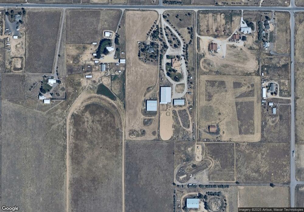
Map
Nearby Homes
- 14955 Lanewood St
- 30959 E 151st Ave
- 28550 E 159th Ave
- 29980 E 161st Ave
- 14476 N Maywood Ct
- 14563 N Meadow Woods St
- 30045 E 161st Ave
- 30315 E 161st Ave
- 30355 E 161st Ave
- 30400 E 162nd St Unit corner
- 30300 E 162nd Ave
- 16295 Bently St
- 29585 E 165th Ave
- 0 E 152nd Ave
- 30185 E 166th Ave
- 31501 E 161st Ct
- 31460 E 162nd Ave
- 29050 E 167th Ave
- 14275 Shadow Wood Ct
- 16143 Kenosha Ct
- 29200 E 152nd Ave
- 15230 Great Rock Rd
- 15230 Greatrock Rd
- 29100 E 152nd Ave
- 29482 Gadsden Dr
- 15280 Great Rock Rd
- 29300 E 152nd Ave
- 29442 Gadsden Dr
- 15302 Great Rock Ct
- 29402 Gadsden Dr
- 15300 Great Rock Rd
- 29455 Gadsden Dr
- 29495 Gadsden Dr
- 15210 Gadsden Ct
- 15101 Hayesmount Rd
- 15250 Gadsden Ct
- 15319 Great Rock Rd
- 29435 Gadsden Dr
- 15312 Great Rock Ct
- 15315 Gadsden Ct
Your Personal Tour Guide
Ask me questions while you tour the home.