2919 Marrcrest W Provo, UT 84604
Riverside NeighborhoodEstimated Value: $405,000 - $423,000
3
Beds
2
Baths
1,550
Sq Ft
$267/Sq Ft
Est. Value
About This Home
This home is located at 2919 Marrcrest W, Provo, UT 84604 and is currently estimated at $414,500, approximately $267 per square foot. 2919 Marrcrest W is a home located in Utah County with nearby schools including Canyon Crest Elementary School, Centennial Middle School, and Timpview High School.
Ownership History
Date
Name
Owned For
Owner Type
Purchase Details
Closed on
Mar 7, 2014
Sold by
Murphy Michael A and Warner Murphy M
Bought by
Michael A Murphy Family Trust and Murphy Vickie P
Current Estimated Value
Purchase Details
Closed on
Dec 20, 2013
Sold by
Robinson Seiler & Anders Lc
Bought by
Murphy Michael A and Warner Murphy M
Purchase Details
Closed on
Apr 25, 2012
Sold by
Spackman Stephanie Lynn
Bought by
Murphy Michael A and Murphy Vickie P
Purchase Details
Closed on
May 28, 2008
Sold by
Murphy Michael A and Warner Murphy M
Bought by
Spackman Stephanie Lynn
Home Financials for this Owner
Home Financials are based on the most recent Mortgage that was taken out on this home.
Original Mortgage
$138,000
Interest Rate
5.87%
Mortgage Type
Seller Take Back
Create a Home Valuation Report for This Property
The Home Valuation Report is an in-depth analysis detailing your home's value as well as a comparison with similar homes in the area
Home Values in the Area
Average Home Value in this Area
Purchase History
| Date | Buyer | Sale Price | Title Company |
|---|---|---|---|
| Michael A Murphy Family Trust | -- | United West Title | |
| Murphy Michael A | $178,547 | United West Title | |
| Murphy Michael A | -- | Unted West Title Ins | |
| Spackman Stephanie Lynn | -- | Atlas Title |
Source: Public Records
Mortgage History
| Date | Status | Borrower | Loan Amount |
|---|---|---|---|
| Previous Owner | Spackman Stephanie Lynn | $138,000 |
Source: Public Records
Tax History Compared to Growth
Tax History
| Year | Tax Paid | Tax Assessment Tax Assessment Total Assessment is a certain percentage of the fair market value that is determined by local assessors to be the total taxable value of land and additions on the property. | Land | Improvement |
|---|---|---|---|---|
| 2025 | $2,034 | $359,400 | $52,800 | $306,600 |
| 2024 | $2,034 | $200,200 | $0 | $0 |
| 2023 | $1,795 | $174,185 | $0 | $0 |
| 2022 | $1,796 | $175,725 | $0 | $0 |
| 2021 | $1,408 | $240,200 | $36,000 | $204,200 |
| 2020 | $1,375 | $220,000 | $47,000 | $173,000 |
| 2019 | $1,322 | $220,000 | $47,000 | $173,000 |
| 2018 | $1,254 | $211,600 | $47,000 | $164,600 |
| 2017 | $1,207 | $111,925 | $0 | $0 |
| 2016 | $1,177 | $101,750 | $0 | $0 |
| 2015 | $1,039 | $90,750 | $0 | $0 |
| 2014 | $896 | $81,620 | $0 | $0 |
Source: Public Records
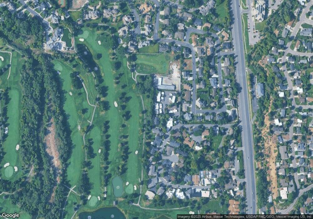
Map
Nearby Homes
- 2939 N Marrcrest Dr W
- 2888 Marrcrest W
- 3013 N 100 W
- 3043 N 25 W
- 2823 N Marrcrest E
- 96 Marrcrest S
- 3240 Shadowbrook Dr
- 1612 N 320 E Unit RES
- 1624 N 320 E Unit 6
- 1648 N 320 E Unit 4
- 1660 N 320 E Unit 3
- 1636 N 320 E Unit 5
- 1625 N 320 E Unit 1
- 1615 N 320 E Unit 1
- 3430 Brookside Dr
- 2774 N 370 E
- 3477 Brookside Dr
- 3535 N 160 St W
- 3524 Glenwood Cir
- 1360 S Carterville Rd
- 2939 Marrcrest W
- 2899 Marrcrest W
- 2959 Marrcrest W
- 2959 N Marrcrest Dr W
- 2979 Marrcrest W
- 2999 Marrcrest W
- 2942 Marrcrest W
- 2897 Marrcrest W
- 2932 Marrcrest W
- 3009 Marrcrest W
- 2960 Marrcrest W
- 2891 Marrcrest W
- 2918 Marrcrest W
- 2918 Marrcrest W Unit 2918
- 3029 Marrcrest W
- 2982 Marrcrest W
- 2908 Marrcrest W
- 2889 Marrcrest W
- 2998 Marrcrest W
- 3018 Marrcrest W