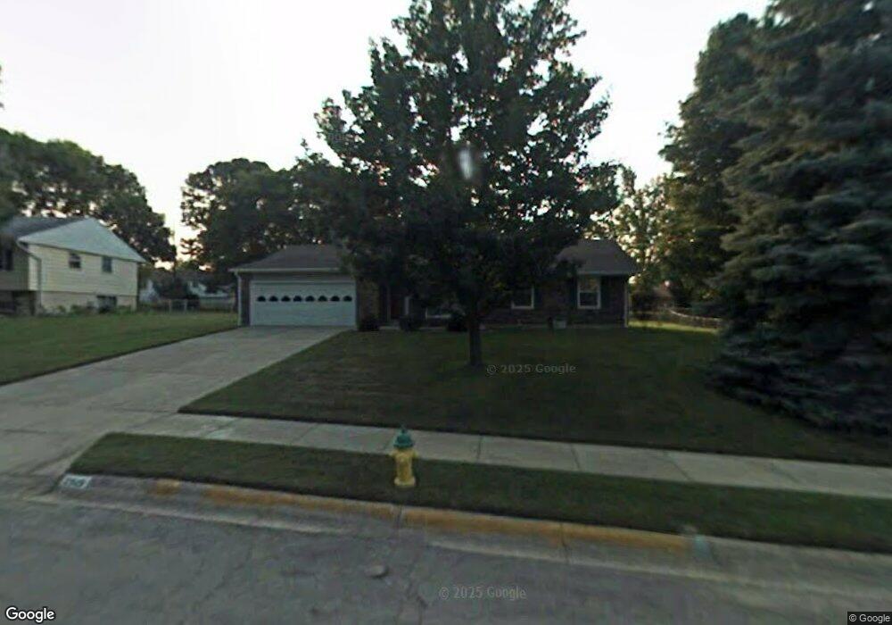
2919 Nauset St Springfield, OH 45503
Estimated Value: $197,000 - $212,000
3
Beds
2
Baths
1,279
Sq Ft
$159/Sq Ft
Est. Value
About This Home
This home is located at 2919 Nauset St, Springfield, OH 45503 and is currently estimated at $203,855, approximately $159 per square foot. 2919 Nauset St is a home located in Clark County with nearby schools including Kenton Elementary School, Roosevelt Middle School, and Springfield High School.
Ownership History
Date
Name
Owned For
Owner Type
Purchase Details
Closed on
Jun 3, 1996
Sold by
Cassady Marjorie E
Bought by
Patten Melissa K
Current Estimated Value
Home Financials for this Owner
Home Financials are based on the most recent Mortgage that was taken out on this home.
Original Mortgage
$63,000
Outstanding Balance
$2,708
Interest Rate
7.99%
Mortgage Type
New Conventional
Estimated Equity
$201,147
Create a Home Valuation Report for This Property
The Home Valuation Report is an in-depth analysis detailing your home's value as well as a comparison with similar homes in the area
Home Values in the Area
Average Home Value in this Area
Purchase History
| Date | Buyer | Sale Price | Title Company |
|---|---|---|---|
| Patten Melissa K | $70,000 | -- |
Source: Public Records
Mortgage History
| Date | Status | Borrower | Loan Amount |
|---|---|---|---|
| Open | Patten Melissa K | $63,000 |
Source: Public Records
Tax History
| Year | Tax Paid | Tax Assessment Tax Assessment Total Assessment is a certain percentage of the fair market value that is determined by local assessors to be the total taxable value of land and additions on the property. | Land | Improvement |
|---|---|---|---|---|
| 2025 | $2,364 | $64,450 | $11,130 | $53,320 |
| 2024 | $2,302 | $47,760 | $10,570 | $37,190 |
| 2023 | $3,482 | $47,760 | $10,570 | $37,190 |
| 2022 | $1,259 | $47,760 | $10,570 | $37,190 |
| 2021 | $2,199 | $40,970 | $7,950 | $33,020 |
| 2020 | $2,204 | $40,970 | $7,950 | $33,020 |
| 2019 | $2,209 | $40,970 | $7,950 | $33,020 |
| 2018 | $2,042 | $36,410 | $8,430 | $27,980 |
| 2017 | $1,708 | $33,128 | $8,428 | $24,700 |
| 2016 | $1,710 | $33,128 | $8,428 | $24,700 |
| 2015 | $1,489 | $32,649 | $7,949 | $24,700 |
| 2014 | $993 | $32,649 | $7,949 | $24,700 |
| 2013 | $1,466 | $32,649 | $7,949 | $24,700 |
Source: Public Records
Map
Nearby Homes
- 1516 Hyannis Dr
- 1924 Marinette Dr
- 1811 Devon Dr
- 2529 Marinette Dr
- 3214 Revels St
- 1948 Falmouth Ave
- 1225 Vester Ave
- 2439 Greystone Ln
- 2553 Derr Rd
- 2043 Providence Ave
- 2400 Thor Dr
- 2022 Westboro Ave
- 3124 El Camino Dr
- 1032 Armsgate Rd
- 1323 Greystone Dr
- 1315 Greystone Dr
- 1040 Carson Ln
- 3135 Imperial Blvd
- 1139 Bradford Dr
- 1046 Fruitland Rd
- 2909 Nauset St
- 2925 Nauset St
- 2930 Tarryton Ln
- 2936 Tarryton Ln
- 2924 Tarryton Ln
- 2942 Tarryton Ln
- 2910 Nauset St
- 2901 Nauset St
- 2918 Tarryton Ln
- 2926 Nauset St
- 1741 Marinette Dr
- 1731 Marinette Dr
- 2900 Nauset St
- 1805 Marinette Dr
- 2912 Tarryton Ln
- 1715 Marinette Dr
- 2825 Nauset St
- 2927 Tarryton Ln
- 2933 Tarryton Ln
- 2919 Tarryton Ln
Your Personal Tour Guide
Ask me questions while you tour the home.