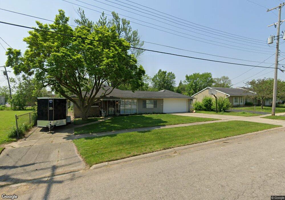
2919 Raskob St Flint, MI 48504
Ballenger Highway NeighborhoodEstimated Value: $48,000 - $65,000
2
Beds
1
Bath
959
Sq Ft
$55/Sq Ft
Est. Value
About This Home
This home is located at 2919 Raskob St, Flint, MI 48504 and is currently estimated at $52,758, approximately $55 per square foot. 2919 Raskob St is a home located in Genesee County with nearby schools including Durant-Tuuri-Mott Elementary School, Greater Heights Academy, and St. Paul Lutheran School.
Ownership History
Date
Name
Owned For
Owner Type
Purchase Details
Closed on
Sep 14, 2023
Sold by
Gentry Renee W
Bought by
Pollard Van C
Current Estimated Value
Purchase Details
Closed on
Oct 31, 2017
Sold by
Genesee County Land Authority
Bought by
Gentry Renee W
Purchase Details
Closed on
Jun 5, 2003
Sold by
Little Flock Church Of Flint
Bought by
Gentry Renee W
Create a Home Valuation Report for This Property
The Home Valuation Report is an in-depth analysis detailing your home's value as well as a comparison with similar homes in the area
Home Values in the Area
Average Home Value in this Area
Purchase History
| Date | Buyer | Sale Price | Title Company |
|---|---|---|---|
| Pollard Van C | -- | None Listed On Document | |
| Gentry Renee W | -- | None Available | |
| Gentry Renee W | $53,000 | Lawyers Title |
Source: Public Records
Tax History
| Year | Tax Paid | Tax Assessment Tax Assessment Total Assessment is a certain percentage of the fair market value that is determined by local assessors to be the total taxable value of land and additions on the property. | Land | Improvement |
|---|---|---|---|---|
| 2025 | $1,594 | $24,600 | $0 | $0 |
| 2024 | $1,467 | $18,600 | $0 | $0 |
| 2023 | $879 | $14,900 | $0 | $0 |
| 2022 | -- | $12,300 | $0 | $0 |
| 2021 | $918 | $12,800 | $0 | $0 |
| 2020 | $828 | $13,500 | $0 | $0 |
| 2019 | $806 | $11,700 | $0 | $0 |
| 2018 | $806 | $12,300 | $0 | $0 |
| 2017 | $784 | $0 | $0 | $0 |
| 2016 | $793 | $0 | $0 | $0 |
| 2015 | -- | $0 | $0 | $0 |
| 2014 | -- | $0 | $0 | $0 |
| 2012 | -- | $15,800 | $0 | $0 |
Source: Public Records
Map
Nearby Homes
- 1133 Donaldson St
- 2915 Berkley St
- 0 Donaldson St
- 2944 Wolcott St
- 1271 Donaldson St
- 3071 Devonshire St
- 2902 Prospect St
- 3120 Stratford St
- 3101 Barth St
- 1220 Forest Hill Ave
- 1402 Lavender Ave
- 3021 Clement St
- 2602 Sloan St
- 1221 Eldorado Dr
- 2509 Barth St
- 2547 Altoona St
- 2540 Altoona St
- 3310 Concord St
- 2622 Concord St
- 2612 Concord St
- 2915 Raskob St
- 2927 Raskob St
- 2916 Sloan St
- 2928 Sloan St
- 1161 N Ballenger Hwy
- 2928 Raskob St
- 2938 Sloan St
- 2932 Raskob St
- 1183 N Ballenger Hwy
- 1173 N Ballenger Hwy Unit LL
- 1173 N Ballenger Hwy Unit 201
- 1173 N Ballenger Hwy Unit 204
- 1173 N Ballenger Hwy Unit 205
- 1173 N Ballenger Hwy Unit LL
- 1173 N Ballenger Hwy
- 1173 N Ballenger Hwy
- 1202 Donaldson Blvd
- 1160 Donaldson Blvd
- 1207 N Ballenger Hwy
- 1206 Donaldson Blvd
Your Personal Tour Guide
Ask me questions while you tour the home.