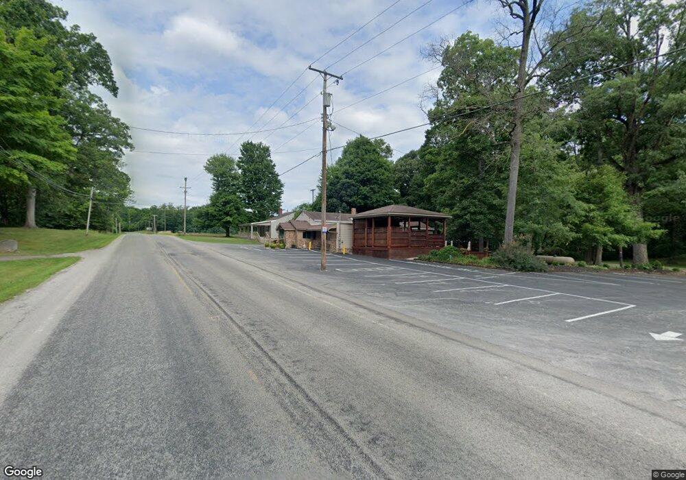
2919 State Route 430 Mansfield, OH 44903
Estimated Value: $254,010
--
Bed
--
Bath
1,852
Sq Ft
$137/Sq Ft
Est. Value
About This Home
This home is located at 2919 State Route 430, Mansfield, OH 44903 and is currently estimated at $254,010, approximately $137 per square foot. 2919 State Route 430 is a home located in Richland County with nearby schools including Madison High School, St. Mary Catholic School, and Temple-Christian School.
Ownership History
Date
Name
Owned For
Owner Type
Purchase Details
Closed on
Nov 3, 2007
Sold by
Crone Thomas Michael and Martin Belinda S
Bought by
Martin Gregory S and Martin Belinda S
Current Estimated Value
Home Financials for this Owner
Home Financials are based on the most recent Mortgage that was taken out on this home.
Original Mortgage
$125,000
Outstanding Balance
$79,333
Interest Rate
6.44%
Mortgage Type
Commercial
Estimated Equity
$174,677
Purchase Details
Closed on
Oct 31, 2007
Sold by
Comstock Ronald W
Bought by
Martin Belinda S and Crone Thomas Michael
Home Financials for this Owner
Home Financials are based on the most recent Mortgage that was taken out on this home.
Original Mortgage
$125,000
Outstanding Balance
$79,333
Interest Rate
6.44%
Mortgage Type
Commercial
Estimated Equity
$174,677
Purchase Details
Closed on
Aug 22, 1994
Sold by
Besenti Paul I
Bought by
Crone Thomas M
Home Financials for this Owner
Home Financials are based on the most recent Mortgage that was taken out on this home.
Original Mortgage
$58,000
Interest Rate
8.73%
Mortgage Type
Commercial
Create a Home Valuation Report for This Property
The Home Valuation Report is an in-depth analysis detailing your home's value as well as a comparison with similar homes in the area
Home Values in the Area
Average Home Value in this Area
Purchase History
| Date | Buyer | Sale Price | Title Company |
|---|---|---|---|
| Martin Gregory S | $125,000 | Southern Title | |
| Martin Belinda S | -- | Southern Title | |
| Crone Thomas M | $94,004 | -- |
Source: Public Records
Mortgage History
| Date | Status | Borrower | Loan Amount |
|---|---|---|---|
| Open | Martin Gregory S | $125,000 | |
| Previous Owner | Crone Thomas M | $58,000 |
Source: Public Records
Tax History Compared to Growth
Tax History
| Year | Tax Paid | Tax Assessment Tax Assessment Total Assessment is a certain percentage of the fair market value that is determined by local assessors to be the total taxable value of land and additions on the property. | Land | Improvement |
|---|---|---|---|---|
| 2024 | $2,802 | $29,830 | $12,050 | $17,780 |
| 2023 | $2,802 | $29,830 | $12,050 | $17,780 |
| 2022 | $2,736 | $29,390 | $10,960 | $18,430 |
| 2021 | $2,728 | $29,390 | $10,960 | $18,430 |
| 2020 | $2,741 | $29,390 | $10,960 | $18,430 |
| 2019 | $2,697 | $29,390 | $10,960 | $18,430 |
| 2018 | $2,702 | $29,390 | $10,960 | $18,430 |
| 2017 | $2,599 | $29,390 | $10,960 | $18,430 |
| 2016 | $2,533 | $28,330 | $10,960 | $17,370 |
| 2015 | $2,533 | $28,330 | $10,960 | $17,370 |
| 2014 | $2,503 | $28,330 | $10,960 | $17,370 |
| 2012 | $921 | $22,180 | $10,960 | $11,220 |
Source: Public Records
Map
Nearby Homes
- 2750 Lutz Ave
- 2641 State Route 430
- 0 Satinwood Dr
- 598 Impala Dr
- 630 Impala Dr
- 0 Peterson Rd
- 2270 Lakecrest Dr Unit 2272
- 2307 Peterson Rd
- 609 Mcbride Rd
- 0 McBride Road Parcel # 1 Unit 9066028
- 640 Running Brook Way
- 641 Laver Rd
- 1910 Crider Rd
- 19 Maine St
- 1997 Hout Rd
- 76 Ford Rd N
- 76 Ford Rd N Unit 20
- 1951 Woodmont Rd
- 1628 Park Ave E
- 0 Mcelroy Rd
- 2919 Park Ave E
- 2919 Ohio 430
- 2913 State Route 430
- 2913 Park Ave E
- 2926 State Route 430
- 2909 State Route 430
- 13 Oak Creek Dr
- 33 Oak Creek Dr
- 2938 Ohio 430
- 2938 State Route 430
- 2946 State Route 430
- 36 Gimbel Dr
- 14 Oak Creek Dr
- 34 Oak Creek Dr
- 53 Oak Creek Dr
- 445 Gimbel Dr
- 474 Gimbel Dr
- 431 Gimbel Dr
- 66 Gimbel Dr
- 456 Gimbel Dr