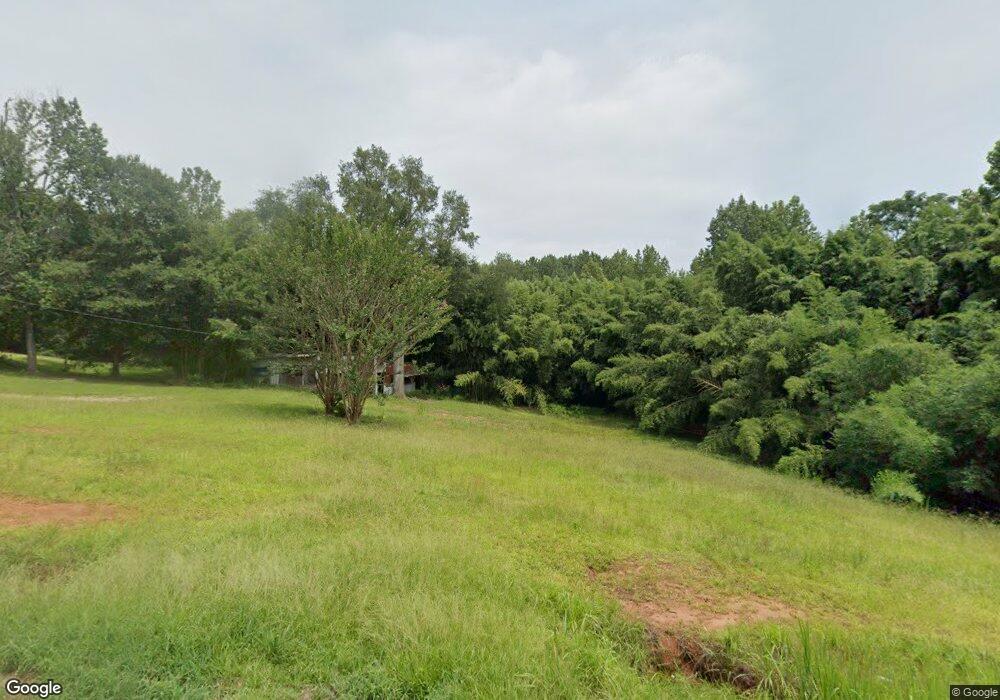
292 Corinth Rd Hogansville, GA 30230
Estimated Value: $54,014 - $322,000
--
Bed
--
Bath
--
Sq Ft
1.17
Acres
About This Home
This home is located at 292 Corinth Rd, Hogansville, GA 30230 and is currently estimated at $165,254. 292 Corinth Rd is a home with nearby schools including Hogansville Elementary School, Callaway Elementary School, and Callaway Middle School.
Ownership History
Date
Name
Owned For
Owner Type
Purchase Details
Closed on
Jan 2, 1998
Sold by
Roy Hammett
Bought by
Turner Patricia H
Current Estimated Value
Purchase Details
Closed on
Jun 23, 1992
Sold by
Citizen Bank
Bought by
Roy Hammett
Purchase Details
Closed on
Apr 21, 1992
Bought by
Citizen Bank
Purchase Details
Closed on
Apr 23, 1991
Purchase Details
Closed on
Apr 10, 1990
Purchase Details
Closed on
Nov 8, 1989
Purchase Details
Closed on
Oct 1, 1977
Purchase Details
Closed on
Nov 16, 1976
Create a Home Valuation Report for This Property
The Home Valuation Report is an in-depth analysis detailing your home's value as well as a comparison with similar homes in the area
Home Values in the Area
Average Home Value in this Area
Purchase History
| Date | Buyer | Sale Price | Title Company |
|---|---|---|---|
| Turner Patricia H | $11,000 | -- | |
| Roy Hammett | $8,500 | -- | |
| Citizen Bank | -- | -- | |
| -- | -- | -- | |
| -- | -- | -- | |
| -- | -- | -- | |
| -- | -- | -- | |
| -- | -- | -- |
Source: Public Records
Tax History Compared to Growth
Tax History
| Year | Tax Paid | Tax Assessment Tax Assessment Total Assessment is a certain percentage of the fair market value that is determined by local assessors to be the total taxable value of land and additions on the property. | Land | Improvement |
|---|---|---|---|---|
| 2024 | $191 | $7,000 | $5,000 | $2,000 |
| 2023 | $191 | $7,000 | $5,000 | $2,000 |
| 2022 | $167 | $6,000 | $4,000 | $2,000 |
| 2021 | $180 | $5,960 | $3,600 | $2,360 |
| 2020 | $180 | $5,960 | $3,600 | $2,360 |
| 2019 | $199 | $6,600 | $3,600 | $3,000 |
| 2018 | $192 | $6,360 | $3,600 | $2,760 |
| 2017 | $192 | $6,360 | $3,600 | $2,760 |
| 2016 | $211 | $7,003 | $3,600 | $3,403 |
| 2015 | -- | $7,003 | $3,600 | $3,403 |
| 2014 | -- | $7,003 | $3,600 | $3,403 |
| 2013 | -- | $3,704 | $0 | $3,704 |
Source: Public Records
Map
Nearby Homes
- 402 Power Plant Rd
- 221 Power Plant Rd
- GARDNER Plan at Huntcliff - Villages
- ESSEX Plan at Huntcliff - Villages
- DUPONT Plan at Huntcliff - Villages
- ROANOKE Plan at Huntcliff - Villages
- 618 Rifle Ridge
- 341 Foxtrot Trail
- 340 Foxtrot Trail
- 342 Foxtrot Trail
- 344 Foxtrot Trail
- 346 Foxtrot Trail
- 501 Sporting Dr
- 502 Sporting Dr
- 500 Sporting Dr
- 100 International St
- 225 Fox Chase Way
- 262 Fox Chase Way
- 264 Fox Chase Way
- 717 N Boyd Rd
- 0 Neighbors Dr
- 318 Corinth Rd
- 325 Corinth Rd
- 35 Neighbors Dr
- 29 Neighbors Dr
- 315 Corinth Rd
- 319 Corinth Rd
- 21 Neighbors Dr
- 334 Corinth Rd
- 15 Neighbors Dr
- 331 Corinth Rd
- 346 Corinth Rd
- 429 Power Plant Rd
- 423 Power Plant Rd
- 357 Power Plant Rd
- 373 Power Plant Rd
- 417 Power Plant Rd
- 212 Corinth Rd
- 428 Power Plant Rd
- 411 Power Plant Rd