292 Erik Dr East Setauket, NY 11733
Estimated Value: $667,878 - $743,000
3
Beds
3
Baths
1,975
Sq Ft
$359/Sq Ft
Est. Value
About This Home
This home is located at 292 Erik Dr, East Setauket, NY 11733 and is currently estimated at $708,970, approximately $358 per square foot. 292 Erik Dr is a home located in Suffolk County with nearby schools including Arrowhead Elementary School, Robert Cushman Murphy Junior High School, and Ward Melville Senior High School.
Ownership History
Date
Name
Owned For
Owner Type
Purchase Details
Closed on
Dec 28, 2013
Sold by
Buscema John and Buscema Deborah E
Bought by
Morseman Joan
Current Estimated Value
Home Financials for this Owner
Home Financials are based on the most recent Mortgage that was taken out on this home.
Original Mortgage
$225,000
Outstanding Balance
$170,383
Interest Rate
4.47%
Mortgage Type
New Conventional
Estimated Equity
$538,587
Purchase Details
Closed on
Sep 16, 2005
Sold by
Giordano Theresa Marie
Bought by
Buscema John
Purchase Details
Closed on
Dec 10, 1998
Sold by
White Oak At Setauket Corp
Bought by
Giordano Theresa Marie
Create a Home Valuation Report for This Property
The Home Valuation Report is an in-depth analysis detailing your home's value as well as a comparison with similar homes in the area
Home Values in the Area
Average Home Value in this Area
Purchase History
| Date | Buyer | Sale Price | Title Company |
|---|---|---|---|
| Morseman Joan | $415,000 | Stewart Title Insurance Co | |
| Buscema John | $490,000 | Judy Berland | |
| Giordano Theresa Marie | $195,500 | -- |
Source: Public Records
Mortgage History
| Date | Status | Borrower | Loan Amount |
|---|---|---|---|
| Open | Morseman Joan | $225,000 |
Source: Public Records
Tax History Compared to Growth
Tax History
| Year | Tax Paid | Tax Assessment Tax Assessment Total Assessment is a certain percentage of the fair market value that is determined by local assessors to be the total taxable value of land and additions on the property. | Land | Improvement |
|---|---|---|---|---|
| 2024 | $2,401 | $1,180 | $85 | $1,095 |
| 2023 | $2,401 | $1,180 | $85 | $1,095 |
| 2022 | $2,988 | $1,180 | $85 | $1,095 |
| 2021 | $2,988 | $1,180 | $85 | $1,095 |
| 2020 | $3,361 | $1,180 | $85 | $1,095 |
| 2019 | $3,361 | $0 | $0 | $0 |
| 2018 | -- | $1,180 | $85 | $1,095 |
| 2017 | $3,145 | $1,180 | $85 | $1,095 |
| 2016 | $3,105 | $1,180 | $85 | $1,095 |
| 2015 | -- | $1,180 | $85 | $1,095 |
| 2014 | -- | $1,180 | $85 | $1,095 |
Source: Public Records
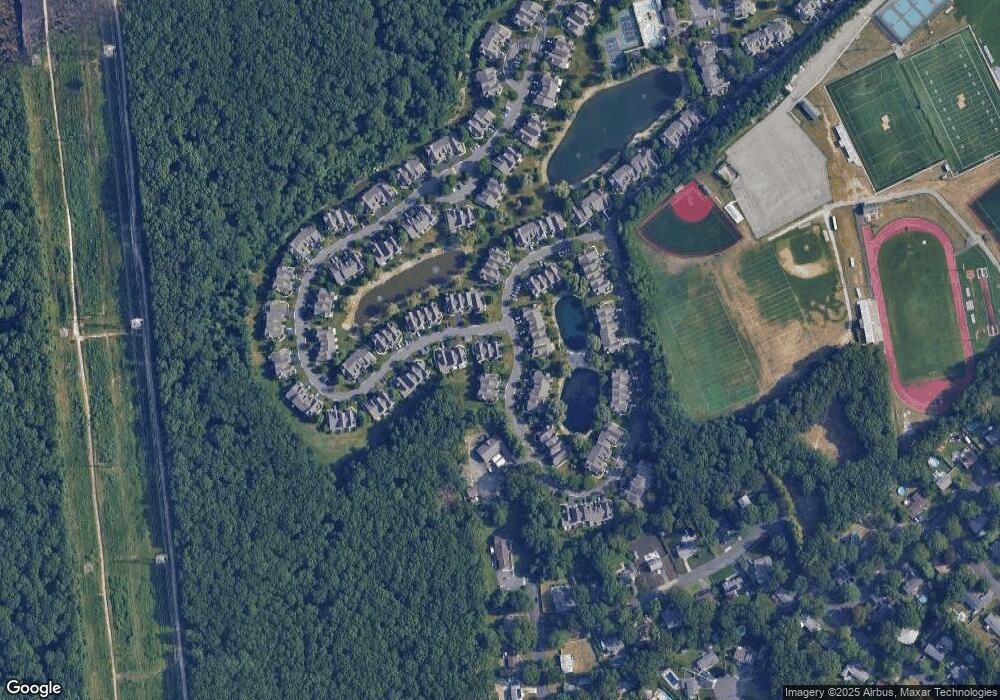
Map
Nearby Homes
- 124 Erin Ln
- 315 Erik Dr
- 95 Erin Ln
- 6 Rack Ln
- 8 Stalker Ln
- 15 Mayflower Ln
- 31 Cabin Ln
- 12 Deer Ln
- 9 Branch Ln
- 37 Deer Ln
- 4 Linda St
- 460 Old Town Rd Unit 27 P
- 460 Old Town Rd Unit 2J
- 460 Old Town Rd Unit 26P
- 460 Old Town Rd Unit 7K
- 460 Old Town Rd Unit 6N
- 460 Old Town Rd Unit 8H
- 19 Partridge Ln
- 105 Commodore Cir
- 10 Spyglass Ln