Estimated Value: $255,000 - $469,878
2
Beds
2
Baths
1,406
Sq Ft
$258/Sq Ft
Est. Value
About This Home
This home is located at 292 Grier Ln, Mauk, GA 31058 and is currently estimated at $362,439, approximately $257 per square foot. 292 Grier Ln is a home with nearby schools including L.K. Moss Elementary School and Marion County Middle/High School.
Ownership History
Date
Name
Owned For
Owner Type
Purchase Details
Closed on
Nov 22, 2016
Sold by
Millard William
Bought by
Cate William W and Cate Shelby B
Current Estimated Value
Purchase Details
Closed on
Apr 24, 2000
Sold by
Southern Investments
Bought by
Leaptrott William M
Purchase Details
Closed on
Sep 15, 1999
Sold by
Mallet Martha Gordon
Bought by
Southern Investments
Purchase Details
Closed on
Sep 14, 1999
Sold by
Miller James and Miller Carol
Bought by
Southern Investments
Purchase Details
Closed on
Jan 28, 1999
Sold by
Gordon Sammie
Bought by
Mallet Martha Gordon
Create a Home Valuation Report for This Property
The Home Valuation Report is an in-depth analysis detailing your home's value as well as a comparison with similar homes in the area
Home Values in the Area
Average Home Value in this Area
Purchase History
| Date | Buyer | Sale Price | Title Company |
|---|---|---|---|
| Cate William W | $85,000 | -- | |
| Leaptrott William M | $64,000 | -- | |
| Southern Investments | $16,600 | -- | |
| Southern Investments | $49,700 | -- | |
| Mallet Martha Gordon | -- | -- | |
| Bailey Carol Gordon | -- | -- |
Source: Public Records
Tax History Compared to Growth
Tax History
| Year | Tax Paid | Tax Assessment Tax Assessment Total Assessment is a certain percentage of the fair market value that is determined by local assessors to be the total taxable value of land and additions on the property. | Land | Improvement |
|---|---|---|---|---|
| 2024 | $1,467 | $77,881 | $27,008 | $50,873 |
| 2023 | $1,071 | $77,881 | $27,008 | $50,873 |
| 2022 | $1,436 | $50,219 | $1,220 | $48,999 |
| 2021 | $358 | $23,465 | $21,065 | $2,400 |
| 2020 | $270 | $19,985 | $19,985 | $0 |
| 2019 | $262 | $19,223 | $19,223 | $0 |
| 2018 | $254 | $19,223 | $19,223 | $0 |
| 2017 | $247 | $19,223 | $19,223 | $0 |
| 2016 | $236 | $33,004 | $33,004 | $0 |
| 2015 | -- | $33,004 | $33,004 | $0 |
| 2014 | -- | $33,004 | $33,004 | $0 |
| 2013 | -- | $33,004 | $33,004 | $0 |
Source: Public Records
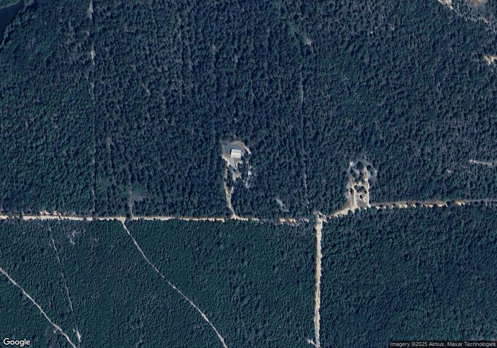
Map
Nearby Homes
- 221 Flamingo Dr
- 62 Brannon Montgomery Rd
- 0 Poll Mill Rd
- 0 Brannon Montgomery Rd Unit 10453495
- 0 Brannon Montgomery Rd Unit 25510431
- 375 Village Ln
- 65 Saddle Trail
- 2450 Fort Perry Rd
- 3599 Ga Highway 127
- 15 Georgia 127
- 12 AC Liberty Rd
- 0 Liberty Rd
- 1792 Bethlehem Rd
- SR-240 Connector
- 0 Georgia 240
- 245 Dog Track Rd
- 0 Miller Rd Unit 10319190
- 0 Miller Rd Unit 25510377
- 0 Miller Rd Unit 25510378
- Moores Chapel Rd
- 0 Grier Ln
- 125 Egret Ct
- 0 Flamingo Dr
- 117 Flamingo Dr
- 119 Flamingo Dr
- 151 Dusty Hollow Ln
- 187 Flamingo Dr
- 54 Grier Ln
- 356 Rowe Rd
- 241 Flamingo Dr
- 3501 Ga Highway 240 N
- 276 Grier Ln
- 385 Rowe Rd
- 251 Flamingo Dr
- 3674 Ga Highway 240 N
- 3885 Ga Highway 240 N
- 766 Rowe Rd
- 0 Junction City Rd Unit 210310
- 3874 Ga Highway 240 N
- 3423 Georgia 240