292 Hall Rd La Crosse, VA 23950
Estimated Value: $159,000 - $256,000
3
Beds
1
Bath
441
Sq Ft
$460/Sq Ft
Est. Value
About This Home
This home is located at 292 Hall Rd, La Crosse, VA 23950 and is currently estimated at $202,703, approximately $459 per square foot. 292 Hall Rd is a home located in Mecklenburg County.
Ownership History
Date
Name
Owned For
Owner Type
Purchase Details
Closed on
Jan 22, 2019
Sold by
Gosney Rodney and Gosney Deborah
Bought by
Gosney Jonathan M
Current Estimated Value
Home Financials for this Owner
Home Financials are based on the most recent Mortgage that was taken out on this home.
Original Mortgage
$78,400
Outstanding Balance
$68,515
Interest Rate
4.6%
Mortgage Type
Credit Line Revolving
Estimated Equity
$134,188
Purchase Details
Closed on
Sep 21, 2016
Sold by
Stamper Robert L
Bought by
Gosney Rodney and Gosney Deborah
Home Financials for this Owner
Home Financials are based on the most recent Mortgage that was taken out on this home.
Original Mortgage
$51,300
Interest Rate
3.45%
Mortgage Type
Commercial
Purchase Details
Closed on
Nov 13, 2013
Sold by
Vincent Marc A
Bought by
Stamper Robert L
Home Financials for this Owner
Home Financials are based on the most recent Mortgage that was taken out on this home.
Original Mortgage
$32,000
Interest Rate
4.24%
Mortgage Type
Land Contract Argmt. Of Sale
Create a Home Valuation Report for This Property
The Home Valuation Report is an in-depth analysis detailing your home's value as well as a comparison with similar homes in the area
Purchase History
| Date | Buyer | Sale Price | Title Company |
|---|---|---|---|
| Gosney Jonathan M | $98,000 | Attorney | |
| Gosney Rodney | $57,000 | None Available | |
| Stamper Robert L | $40,000 | -- |
Source: Public Records
Mortgage History
| Date | Status | Borrower | Loan Amount |
|---|---|---|---|
| Open | Gosney Jonathan M | $78,400 | |
| Previous Owner | Gosney Rodney | $51,300 | |
| Previous Owner | Stamper Robert L | $32,000 |
Source: Public Records
Tax History
| Year | Tax Paid | Tax Assessment Tax Assessment Total Assessment is a certain percentage of the fair market value that is determined by local assessors to be the total taxable value of land and additions on the property. | Land | Improvement |
|---|---|---|---|---|
| 2025 | $566 | $157,300 | $44,100 | $113,200 |
| 2023 | $386 | $96,400 | $39,000 | $57,400 |
| 2022 | $386 | $96,400 | $39,000 | $57,400 |
| 2021 | $294 | $70,000 | $21,300 | $48,700 |
| 2020 | $294 | $70,000 | $21,300 | $48,700 |
| 2019 | $367 | $87,400 | $34,500 | $52,900 |
| 2018 | $304 | $72,300 | $34,500 | $37,800 |
| 2017 | $348 | $82,900 | $36,400 | $46,500 |
| 2016 | $345 | $82,100 | $36,400 | $45,700 |
| 2015 | -- | $83,400 | $37,100 | $46,300 |
| 2013 | -- | $91,500 | $46,400 | $45,100 |
Source: Public Records
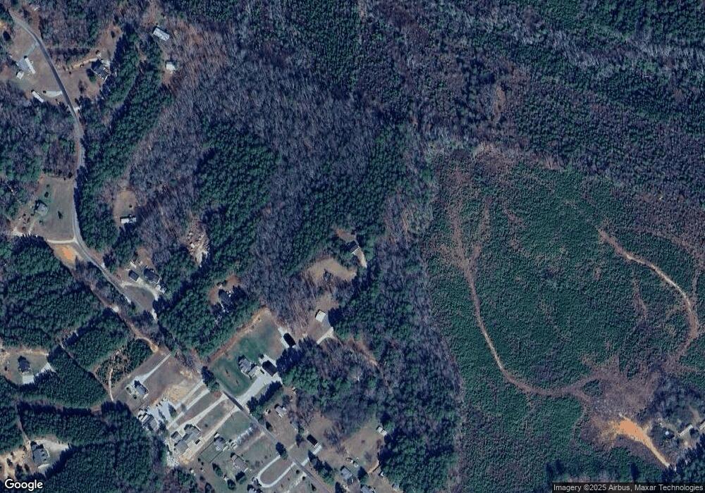
Map
Nearby Homes
- 231 Mulberry Ln
- 122 Bayberry Ct
- 96 Bayberry Ct
- 611 Hawthorne Dr
- Lot 25E Sycamore Ct
- 23 Hawthorne Dr
- 1674 Great Creek Dr
- 165 Locust Dr
- 408 Longwood Dr
- 139R Mary Ct
- 765 Hawthorne Dr
- 0 Chestnut Dr Unit 140455
- Lot 33 Beechwood Dr
- 831 Hawthorne Dr
- 0 Longwood Dr
- Lot 13 Longwood Dr
- 0 Briarwood Terrace
- 61 Longwood Dr
- 418 Fox Den Dr
- 31 Holly Ct
Your Personal Tour Guide
Ask me questions while you tour the home.