292 Harnett Rd Lufkin, TX 75901
Estimated Value: $189,000 - $240,944
--
Bed
--
Bath
1,475
Sq Ft
$148/Sq Ft
Est. Value
About This Home
This home is located at 292 Harnett Rd, Lufkin, TX 75901 and is currently estimated at $218,236, approximately $147 per square foot. 292 Harnett Rd is a home located in Angelina County with nearby schools including Garrett Primary School, Dunbar Primary School, and Brandon Elementary School.
Ownership History
Date
Name
Owned For
Owner Type
Purchase Details
Closed on
Feb 14, 2024
Sold by
Tullos Joy Elaine
Bought by
Strong David Ma and Strong Amy L
Current Estimated Value
Home Financials for this Owner
Home Financials are based on the most recent Mortgage that was taken out on this home.
Original Mortgage
$186,342
Outstanding Balance
$183,055
Interest Rate
6.62%
Mortgage Type
New Conventional
Estimated Equity
$35,181
Purchase Details
Closed on
Feb 19, 2018
Sold by
Tullos Kevin Wade
Bought by
Tullos Sylvia M
Purchase Details
Closed on
Mar 23, 2017
Sold by
Tullos Sylvia M
Bought by
Tullos Kevin Wade
Create a Home Valuation Report for This Property
The Home Valuation Report is an in-depth analysis detailing your home's value as well as a comparison with similar homes in the area
Home Values in the Area
Average Home Value in this Area
Purchase History
| Date | Buyer | Sale Price | Title Company |
|---|---|---|---|
| Strong David Ma | -- | Security Guaranty Abstract | |
| Tullos Sylvia M | -- | None Available | |
| Tullos Kevin Wade | -- | None Available |
Source: Public Records
Mortgage History
| Date | Status | Borrower | Loan Amount |
|---|---|---|---|
| Open | Strong David Ma | $186,342 |
Source: Public Records
Tax History Compared to Growth
Tax History
| Year | Tax Paid | Tax Assessment Tax Assessment Total Assessment is a certain percentage of the fair market value that is determined by local assessors to be the total taxable value of land and additions on the property. | Land | Improvement |
|---|---|---|---|---|
| 2025 | $2,034 | $201,600 | $17,800 | $183,800 |
| 2024 | $1,772 | $195,730 | $17,800 | $177,930 |
| 2023 | $2,386 | $194,690 | $17,800 | $176,890 |
| 2022 | $2,386 | $167,920 | $12,600 | $155,320 |
| 2021 | $1 | $155,870 | $12,600 | $143,270 |
| 2020 | $0 | $134,430 | $5,700 | $128,730 |
| 2019 | $0 | $135,810 | $5,700 | $130,110 |
| 2018 | $0 | $132,770 | $5,700 | $127,070 |
| 2017 | $0 | $127,080 | $5,700 | $121,380 |
Source: Public Records
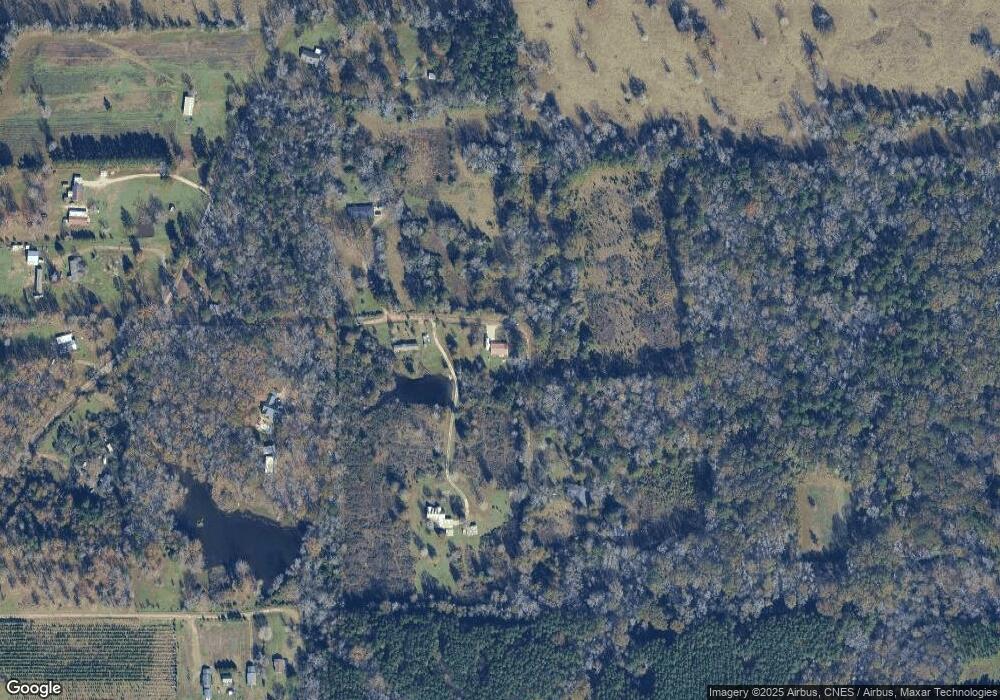
Map
Nearby Homes
- 1920 Farm To Market 842
- 859 Fm 2021
- 311 N Forty Cir
- tract 1 N Forty Cir
- Tract 4 N Forty Cir
- 732 Fm 842
- R17051 Hwy 59 N
- n/a Farm To Market Road 2021
- n/a Loop 287 Frontage Rd
- 3600 N Medford Dr
- 402 Saint Clair St
- 150 Byrd Dr
- 140 Byrd Dr
- 170 Byrd Dr
- 160 Byrd Dr
- LOT 188 Saint Clair St
- LOT 56 Saint Clair St
- LOT 184 Saint Clair St
- 1395 Wilkerson Rd
- 548 Saint Clair St
- 292 Hartnett Rd
- 284 Hartnett Rd
- 328 Harnett Rd
- 120 Harnett Rd
- 1791 Ray Fisher Rd
- 1645 Ray Fisher Rd
- 1572 Ray Fisher Rd
- 1709 Ray Fisher Rd
- 287 Warren Hughes Rd
- 306 Warren Hughes Rd
- 1444 Ray Fisher Rd
- 1625 Ray Fisher Rd
- 1311 Ray Fisher Rd
- 1322 Ray Fisher Rd
- 1259 Ray Fisher Rd
- 1207 Ray Fisher Rd
- 982 Ray Fisher Rd
- 1057 Ray Fisher Rd
- 854 Ray Fisher Rd
- 1017 Ray Fisher Rd