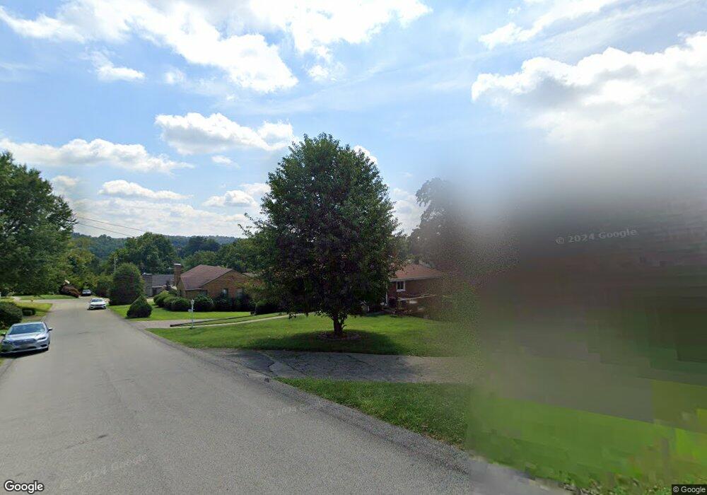
292 Hawthorne Rd Washington, PA 15301
Estimated Value: $271,867 - $340,000
3
Beds
3
Baths
1,952
Sq Ft
$151/Sq Ft
Est. Value
About This Home
This home is located at 292 Hawthorne Rd, Washington, PA 15301 and is currently estimated at $294,217, approximately $150 per square foot. 292 Hawthorne Rd is a home located in Washington County with nearby schools including Trinity Senior High School, John F Kennedy Catholic School, and Faith Christian School.
Ownership History
Date
Name
Owned For
Owner Type
Purchase Details
Closed on
May 22, 2021
Sold by
Lolley F Dale F and Lolley Amy D
Bought by
Lolley Forrest D and Lolley Amy D
Current Estimated Value
Home Financials for this Owner
Home Financials are based on the most recent Mortgage that was taken out on this home.
Original Mortgage
$145,680
Outstanding Balance
$106,150
Interest Rate
2.9%
Mortgage Type
New Conventional
Estimated Equity
$188,067
Purchase Details
Closed on
May 12, 2006
Sold by
Wege Ruth T
Bought by
Lolley F Dale
Home Financials for this Owner
Home Financials are based on the most recent Mortgage that was taken out on this home.
Original Mortgage
$142,400
Interest Rate
6.53%
Mortgage Type
New Conventional
Create a Home Valuation Report for This Property
The Home Valuation Report is an in-depth analysis detailing your home's value as well as a comparison with similar homes in the area
Home Values in the Area
Average Home Value in this Area
Purchase History
| Date | Buyer | Sale Price | Title Company |
|---|---|---|---|
| Lolley Forrest D | -- | None Available | |
| Lolley F Dale | $178,000 | -- |
Source: Public Records
Mortgage History
| Date | Status | Borrower | Loan Amount |
|---|---|---|---|
| Open | Lolley Forrest D | $145,680 | |
| Closed | Lolley F Dale | $142,400 |
Source: Public Records
Tax History Compared to Growth
Tax History
| Year | Tax Paid | Tax Assessment Tax Assessment Total Assessment is a certain percentage of the fair market value that is determined by local assessors to be the total taxable value of land and additions on the property. | Land | Improvement |
|---|---|---|---|---|
| 2025 | $3,698 | $180,500 | $35,000 | $145,500 |
| 2024 | $3,251 | $180,500 | $35,000 | $145,500 |
| 2023 | $3,251 | $180,500 | $35,000 | $145,500 |
| 2022 | $3,146 | $180,500 | $35,000 | $145,500 |
| 2021 | $3,101 | $180,500 | $35,000 | $145,500 |
| 2020 | $3,101 | $180,500 | $35,000 | $145,500 |
| 2019 | $3,022 | $180,500 | $35,000 | $145,500 |
| 2018 | $3,074 | $180,500 | $35,000 | $145,500 |
| 2017 | $414 | $180,500 | $35,000 | $145,500 |
| 2016 | $414 | $16,619 | $2,047 | $14,572 |
| 2015 | -- | $16,619 | $2,047 | $14,572 |
| 2014 | $414 | $16,619 | $2,047 | $14,572 |
| 2013 | $414 | $16,619 | $2,047 | $14,572 |
Source: Public Records
Map
Nearby Homes
- 1166 N Main St
- 40 Laurel Ave
- 831 N Main St
- 165 E Katherine Ave
- 1296 N Main St
- 395 Burton Ave
- 105 Buttonwood Ave
- 19 Murtland Ave
- 707 Beech St
- 60 Fairhill Dr
- 320 Locust Ave
- 665 Summerlea Ave
- 65 Cort St
- 40 Stone Marker Dr
- 118 Brady Ave
- 471 3rd St
- 1721 Donnan Ave
- 30 E Hallam Ave
- 244 Burton Ave
- 238 Burton Ave