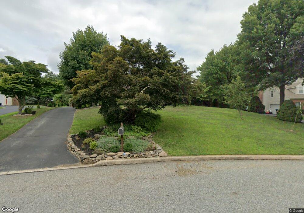
292 Mackenzie Dr West Chester, PA 19380
Estimated Value: $727,000 - $807,000
4
Beds
3
Baths
2,736
Sq Ft
$278/Sq Ft
Est. Value
About This Home
This home is located at 292 Mackenzie Dr, West Chester, PA 19380 and is currently estimated at $759,662, approximately $277 per square foot. 292 Mackenzie Dr is a home located in Chester County with nearby schools including East Bradford Elementary School, E.N. Peirce Middle School, and Henderson High School.
Ownership History
Date
Name
Owned For
Owner Type
Purchase Details
Closed on
Jul 8, 2008
Sold by
Morral Thomas C
Bought by
Chandler Derek and Chandler Amy
Current Estimated Value
Home Financials for this Owner
Home Financials are based on the most recent Mortgage that was taken out on this home.
Original Mortgage
$332,000
Outstanding Balance
$215,266
Interest Rate
6.17%
Mortgage Type
Purchase Money Mortgage
Estimated Equity
$544,396
Purchase Details
Closed on
Mar 15, 2006
Sold by
Morral Thomas C and Morral Lynette D
Bought by
Morral Thomas C
Purchase Details
Closed on
Sep 4, 2003
Sold by
Morral Thomas C and Morral Lynette D
Bought by
Morral Thomas C and Morral Lynette D
Create a Home Valuation Report for This Property
The Home Valuation Report is an in-depth analysis detailing your home's value as well as a comparison with similar homes in the area
Home Values in the Area
Average Home Value in this Area
Purchase History
| Date | Buyer | Sale Price | Title Company |
|---|---|---|---|
| Chandler Derek | $415,000 | First American Title Ins Co | |
| Morral Thomas C | -- | None Available | |
| Morral Thomas C | -- | -- |
Source: Public Records
Mortgage History
| Date | Status | Borrower | Loan Amount |
|---|---|---|---|
| Open | Chandler Derek | $332,000 |
Source: Public Records
Tax History Compared to Growth
Tax History
| Year | Tax Paid | Tax Assessment Tax Assessment Total Assessment is a certain percentage of the fair market value that is determined by local assessors to be the total taxable value of land and additions on the property. | Land | Improvement |
|---|---|---|---|---|
| 2025 | $5,966 | $205,810 | $49,180 | $156,630 |
| 2024 | $5,966 | $205,810 | $49,180 | $156,630 |
| 2023 | $5,966 | $205,810 | $49,180 | $156,630 |
| 2022 | $5,889 | $205,810 | $49,180 | $156,630 |
| 2021 | $5,807 | $205,810 | $49,180 | $156,630 |
| 2020 | $5,769 | $205,810 | $49,180 | $156,630 |
| 2019 | $5,689 | $205,810 | $49,180 | $156,630 |
| 2018 | $5,568 | $205,810 | $49,180 | $156,630 |
| 2017 | $5,447 | $205,810 | $49,180 | $156,630 |
| 2016 | $4,595 | $205,810 | $49,180 | $156,630 |
| 2015 | $4,595 | $205,810 | $49,180 | $156,630 |
| 2014 | $4,595 | $205,810 | $49,180 | $156,630 |
Source: Public Records
Map
Nearby Homes
- 138 Sussex Rd
- 1230 N Ashbrooke Dr
- 1230 Pottstown Pike
- 112 Waterwillow Rd
- 108 Waterwillow Rd
- 14 Greenhill Rd
- 718 Southern Dr
- 1280 Cardinal Ave
- 1354 Old Pottstown Pike
- 1430 Grove Ave
- 1430 Grove Ave Unit 1BP
- 1430 Grove Ave Unit 1RD
- 1430 Grove Ave Unit 1MP
- 1430 Grove Ave Unit 1BLP
- 1432 Grove Ave
- 306 Greenhill Rd
- 530 Legion Dr
- 116 Windridge Dr
- 95 Eakins Cir
- 90 Eakins Cir
- 294 Mackenzie Dr
- 290 Mackenzie Dr
- 293 Cotswold Ln
- 291 Cotswold Ln
- 293 Mackenzie Dr
- 288 Mackenzie Dr
- 289 Cotswold Ln
- 1139 Cotswold Ln
- 1141 Cotswold Ln
- 291 Mackenzie Dr
- 1137 Cotswold Ln
- 1143 Cotswold Ln
- 287 Cotswold Ln
- 295 Mackenzie Dr
- 297 Cotswold Ln
- 286 Mackenzie Dr
- 289 Mackenzie Dr
- 285 Cotswold Ln
- 1145 Cotswold Ln
- 290 Cotswold Ln