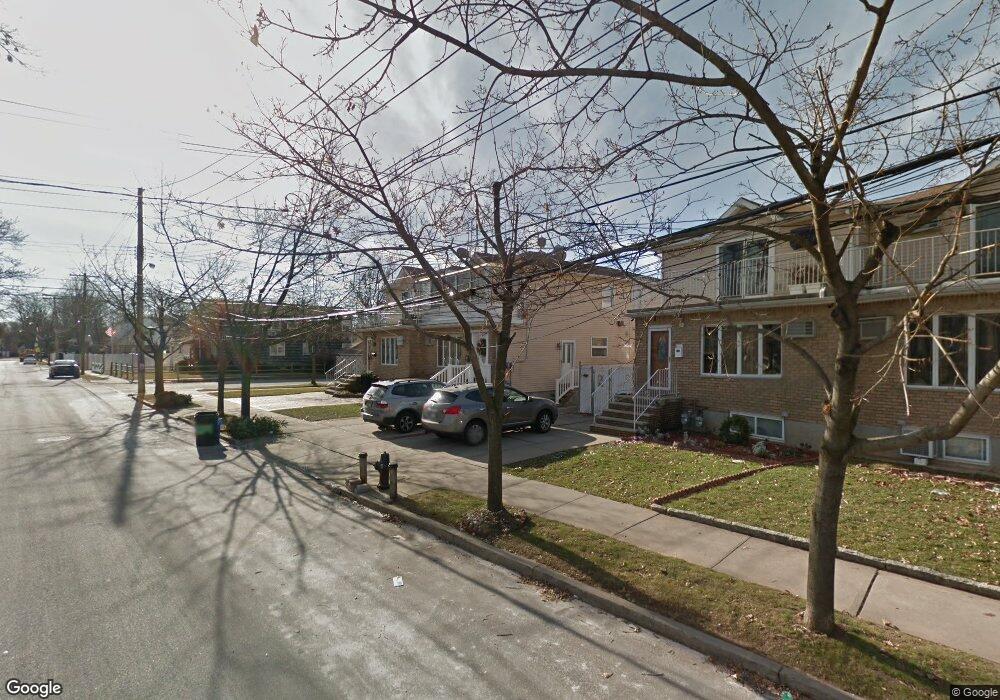
292 Miles Ave Staten Island, NY 10308
Great Kills NeighborhoodEstimated Value: $689,000
--
Bed
--
Bath
2,520
Sq Ft
$273/Sq Ft
Est. Value
About This Home
This home is located at 292 Miles Ave, Staten Island, NY 10308 and is currently priced at $689,000, approximately $273 per square foot. 292 Miles Ave is a home located in Richmond County with nearby schools including P.S. 32 The Gifford School, I.S. 075 Frank D. Paulo, and Susan E Wagner High School.
Ownership History
Date
Name
Owned For
Owner Type
Purchase Details
Closed on
Jun 9, 2004
Sold by
Mirand Ernesto and Miranda Hilda
Bought by
Catalano John and Catalano Rachel
Current Estimated Value
Home Financials for this Owner
Home Financials are based on the most recent Mortgage that was taken out on this home.
Original Mortgage
$275,000
Interest Rate
6%
Mortgage Type
New Conventional
Purchase Details
Closed on
Sep 28, 2000
Sold by
Miranda Ernesto and Miranda Hilda
Bought by
Miranda Ernesto and Miranda Hilda
Purchase Details
Closed on
Aug 29, 1997
Sold by
Miranda Rachel and Miranda Ernesto
Bought by
Miranda Ernesto and Miranda Hilda
Home Financials for this Owner
Home Financials are based on the most recent Mortgage that was taken out on this home.
Original Mortgage
$171,000
Interest Rate
7.47%
Create a Home Valuation Report for This Property
The Home Valuation Report is an in-depth analysis detailing your home's value as well as a comparison with similar homes in the area
Home Values in the Area
Average Home Value in this Area
Purchase History
| Date | Buyer | Sale Price | Title Company |
|---|---|---|---|
| Catalano John | -- | Ticor Title | |
| Miranda Ernesto | -- | -- | |
| Miranda Ernesto | -- | -- |
Source: Public Records
Mortgage History
| Date | Status | Borrower | Loan Amount |
|---|---|---|---|
| Closed | Catalano John | $275,000 | |
| Closed | Miranda Ernesto | $171,000 |
Source: Public Records
Tax History Compared to Growth
Tax History
| Year | Tax Paid | Tax Assessment Tax Assessment Total Assessment is a certain percentage of the fair market value that is determined by local assessors to be the total taxable value of land and additions on the property. | Land | Improvement |
|---|---|---|---|---|
| 2025 | $6,631 | $52,620 | $6,145 | $46,475 |
| 2024 | $6,631 | $53,280 | $6,023 | $47,257 |
| 2023 | $6,325 | $31,146 | $5,786 | $25,360 |
| 2022 | $5,866 | $46,560 | $9,720 | $36,840 |
| 2021 | $5,834 | $41,100 | $9,720 | $31,380 |
| 2020 | $5,868 | $35,220 | $9,720 | $25,500 |
| 2019 | $5,755 | $30,600 | $9,720 | $20,880 |
| 2018 | $5,291 | $25,955 | $7,008 | $18,947 |
| 2017 | $4,991 | $24,486 | $7,628 | $16,858 |
| 2016 | $4,618 | $23,100 | $9,720 | $13,380 |
| 2015 | $5,216 | $27,180 | $8,400 | $18,780 |
| 2014 | $5,216 | $27,180 | $8,400 | $18,780 |
Source: Public Records
Map
Nearby Homes
- 98 Kennington St
- 52 Barlow Ave
- 47 Jumel St
- 59 Gibson Ave
- 12 Lexington Ln
- 200 Giffords Ln
- 72 Eric Ln
- 147 Howton Ave
- 66 Gibson Ave
- 414 Elverton Ave
- 87 Pemberton Ave
- 132 Elkhart St
- 4 Country Woods Ln
- 271 Doane Ave
- 15 Woodland Ave
- 305 Corbin Ave
- 52 Sandalwood Dr
- 17 Greaves Ct
- 157 Exeter St
- 171 Dewey Ave