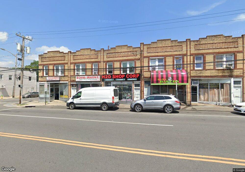
292 N Main St Freeport, NY 11520
Estimated Value: $573,904
1
Bed
1
Bath
4,320
Sq Ft
$133/Sq Ft
Est. Value
About This Home
This home is located at 292 N Main St, Freeport, NY 11520 and is currently estimated at $573,904, approximately $132 per square foot. 292 N Main St is a home located in Nassau County with nearby schools including Caroline G. Atkinson Intermediate School, Columbus Avenue School, and John W Dodd Middle School.
Ownership History
Date
Name
Owned For
Owner Type
Purchase Details
Closed on
Jan 22, 2019
Sold by
Genatore Properties Inc
Bought by
New Family Gourmet Deli Llc
Current Estimated Value
Home Financials for this Owner
Home Financials are based on the most recent Mortgage that was taken out on this home.
Original Mortgage
$150,000
Outstanding Balance
$131,611
Interest Rate
4.5%
Mortgage Type
New Conventional
Estimated Equity
$442,293
Purchase Details
Closed on
Apr 10, 2000
Sold by
Two Friends Apts Inc
Bought by
Genatore Properties Inc
Create a Home Valuation Report for This Property
The Home Valuation Report is an in-depth analysis detailing your home's value as well as a comparison with similar homes in the area
Home Values in the Area
Average Home Value in this Area
Purchase History
| Date | Buyer | Sale Price | Title Company |
|---|---|---|---|
| New Family Gourmet Deli Llc | $345,000 | Commonwealth Land Title | |
| Genatore Properties Inc | $150,000 | Thomas P Dougherty |
Source: Public Records
Mortgage History
| Date | Status | Borrower | Loan Amount |
|---|---|---|---|
| Open | New Family Gourmet Deli Llc | $150,000 |
Source: Public Records
Tax History
| Year | Tax Paid | Tax Assessment Tax Assessment Total Assessment is a certain percentage of the fair market value that is determined by local assessors to be the total taxable value of land and additions on the property. | Land | Improvement |
|---|---|---|---|---|
| 2025 | $9,433 | $2,608 | $423 | $2,185 |
| 2024 | $1,067 | $2,608 | $423 | $2,185 |
| 2023 | $8,637 | $2,608 | $423 | $2,185 |
| 2022 | $8,637 | $2,608 | $423 | $2,185 |
| 2021 | $12,691 | $2,468 | $423 | $2,045 |
| 2020 | $8,955 | $1,596 | $436 | $1,160 |
| 2019 | $1,637 | $1,596 | $436 | $1,160 |
| 2018 | $1,540 | $1,596 | $0 | $0 |
| 2017 | $7,895 | $1,596 | $436 | $1,160 |
| 2016 | $9,158 | $1,596 | $436 | $1,160 |
| 2015 | $1,109 | $1,596 | $436 | $1,160 |
| 2014 | $1,109 | $1,596 | $436 | $1,160 |
| 2013 | $1,049 | $1,596 | $436 | $1,160 |
Source: Public Records
Map
Nearby Homes
- 35 W Seaman Ave
- 63 E Seaman Ave
- 22 Colonial Ave
- 101 Harris Ave
- 67 E Dean St
- 110 Woodside Ave
- 27 W Woodbine Dr
- 247 N Columbus Ave
- 161 Wallace St
- 67 Ellison Ave
- 60 Connecticut Ave
- 173 E Seaman Ave
- 12 King St
- 188 Woodside Ave
- 120 Lena Ave
- 115 N Bergen Place
- 139 New York Ave
- 101 Wallace St
- 400 N Columbus Ave
- 48 Pleasant Ave
Your Personal Tour Guide
Ask me questions while you tour the home.