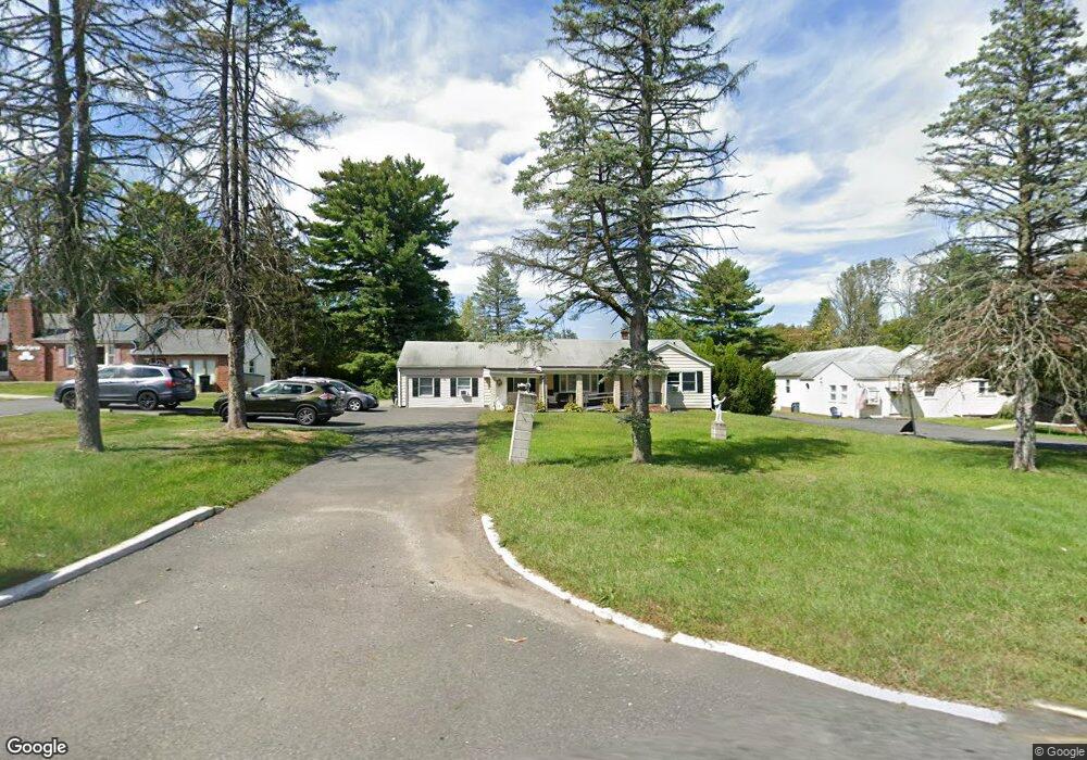
292 State Route 10 Randolph, NJ 07869
Estimated Value: $467,762 - $632,000
5
Beds
4
Baths
1,808
Sq Ft
$317/Sq Ft
Est. Value
About This Home
This home is located at 292 State Route 10, Randolph, NJ 07869 and is currently estimated at $573,441, approximately $317 per square foot. 292 State Route 10 is a home located in Morris County with nearby schools including Randolph High School, Randolph Middle School, and Apple Montessori Schools and Camps - Randolph.
Ownership History
Date
Name
Owned For
Owner Type
Purchase Details
Closed on
Dec 17, 2021
Sold by
292 Route 10 Randolph Llc
Bought by
Vigilante Daniel
Current Estimated Value
Home Financials for this Owner
Home Financials are based on the most recent Mortgage that was taken out on this home.
Original Mortgage
$266,000
Interest Rate
3.11%
Mortgage Type
New Conventional
Purchase Details
Closed on
Mar 23, 2006
Sold by
Vigilante Daniel
Bought by
Vigilante Daniel
Purchase Details
Closed on
Sep 23, 2005
Sold by
Teklewolde Gedion
Bought by
Vigilante Daniel
Home Financials for this Owner
Home Financials are based on the most recent Mortgage that was taken out on this home.
Original Mortgage
$394,000
Interest Rate
5.5%
Mortgage Type
Adjustable Rate Mortgage/ARM
Purchase Details
Closed on
Aug 5, 1999
Sold by
Bayse Nancy Jean and Staso John
Bought by
Teklewolde Gedion W
Home Financials for this Owner
Home Financials are based on the most recent Mortgage that was taken out on this home.
Original Mortgage
$142,500
Interest Rate
7.81%
Mortgage Type
Stand Alone First
Create a Home Valuation Report for This Property
The Home Valuation Report is an in-depth analysis detailing your home's value as well as a comparison with similar homes in the area
Home Values in the Area
Average Home Value in this Area
Purchase History
| Date | Buyer | Sale Price | Title Company |
|---|---|---|---|
| Vigilante Daniel | -- | New Title Company Name | |
| Vigilante Daniel | -- | -- | |
| Vigilante Daniel | $415,000 | -- | |
| Teklewolde Gedion W | $190,000 | First American Title Ins Co |
Source: Public Records
Mortgage History
| Date | Status | Borrower | Loan Amount |
|---|---|---|---|
| Previous Owner | Vigilante Daniel | $266,000 | |
| Previous Owner | Vigilante Daniel | $394,000 | |
| Previous Owner | Teklewolde Gedion W | $142,500 |
Source: Public Records
Tax History
| Year | Tax Paid | Tax Assessment Tax Assessment Total Assessment is a certain percentage of the fair market value that is determined by local assessors to be the total taxable value of land and additions on the property. | Land | Improvement |
|---|---|---|---|---|
| 2025 | $8,547 | $303,400 | $108,000 | $195,400 |
| 2024 | $8,332 | $301,900 | $108,000 | $193,900 |
Source: Public Records
Map
Nearby Homes
- 5 Jessica Place
- 7 Adams Ave Unit 11
- 3 Marble Ln
- 37 Kearney St
- 42 1st St Ab
- 109 Quaker Ave
- 15 Cross St
- 413 Boulder Ridge Dr Unit 413
- 411 Boulder Ridge Dr
- 71 Washington Ave Unit 73
- 64 Fords Rd
- 19 South St
- 58 William St
- 60 Watson Dr
- 12 Skyline Dr
- 138 S Salem St
- 384 Millbrook Ave
- 42 Everdale Rd
- 38 E Dickerson St
- 6-16 E Blackwell St Unit 2D
- 288 New Jersey 10
- 296 State Route 10
- 288 State Route 10
- 300 New Jersey 10
- 59 Quaker Church Rd
- 56 Quaker Church Rd
- 1 Iris Ln
- 63 Quaker Church Rd
- 4 Rose Way
- 125 High St
- 2 Iris Ln
- 50 Quaker Church Rd
- 121 High St
- 127 High St
- 308 State Route 10
- 3 Iris Ln
- 4 Iris Ln
- 38 Quaker Church Rd
- 8 Rose Way
- 119 High St
Your Personal Tour Guide
Ask me questions while you tour the home.