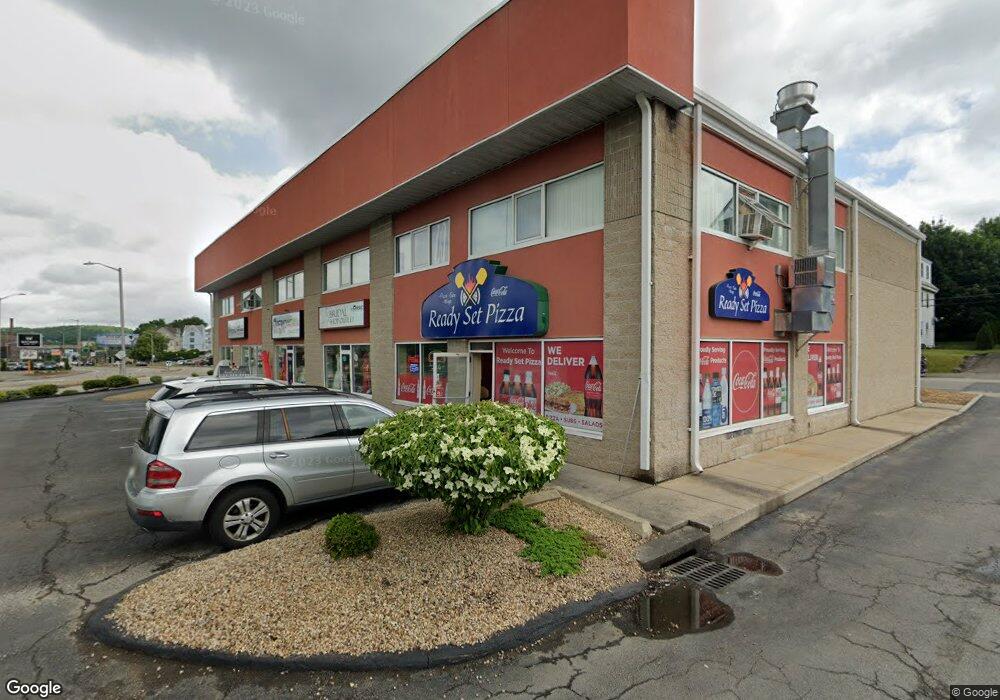
292 W Boylston St Worcester, MA 01606
Indian Lake East Neighborhood
--
Bed
2
Baths
9,200
Sq Ft
1.7
Acres
About This Home
This home is located at 292 W Boylston St, Worcester, MA 01606. 292 W Boylston St is a home located in Worcester County with nearby schools including Jacob Hiatt Magnet School, Chandler Magnet, and Thorndyke Road School.
Ownership History
Date
Name
Owned For
Owner Type
Purchase Details
Closed on
Apr 11, 2006
Sold by
290 West Boylston Asso
Bought by
Carbonneau Rlty Llc
Home Financials for this Owner
Home Financials are based on the most recent Mortgage that was taken out on this home.
Original Mortgage
$850,000
Outstanding Balance
$485,641
Interest Rate
6.26%
Mortgage Type
Commercial
Create a Home Valuation Report for This Property
The Home Valuation Report is an in-depth analysis detailing your home's value as well as a comparison with similar homes in the area
Home Values in the Area
Average Home Value in this Area
Purchase History
| Date | Buyer | Sale Price | Title Company |
|---|---|---|---|
| Carbonneau Rlty Llc | $780,000 | -- |
Source: Public Records
Mortgage History
| Date | Status | Borrower | Loan Amount |
|---|---|---|---|
| Open | Carbonneau Rlty Llc | $850,000 |
Source: Public Records
Tax History Compared to Growth
Tax History
| Year | Tax Paid | Tax Assessment Tax Assessment Total Assessment is a certain percentage of the fair market value that is determined by local assessors to be the total taxable value of land and additions on the property. | Land | Improvement |
|---|---|---|---|---|
| 2025 | $0 | $1,981,500 | $519,500 | $1,462,000 |
| 2024 | $0 | $1,697,200 | $519,500 | $1,177,700 |
| 2023 | $0 | $1,431,400 | $451,800 | $979,600 |
| 2022 | $0 | $1,431,400 | $451,800 | $979,600 |
| 2021 | $0 | $1,436,900 | $332,200 | $1,104,700 |
| 2020 | $50,521 | $1,436,900 | $332,200 | $1,104,700 |
| 2019 | $49,212 | $1,410,100 | $332,200 | $1,077,900 |
| 2018 | $47,999 | $1,410,500 | $332,200 | $1,078,300 |
| 2017 | $46,448 | $1,410,500 | $332,200 | $1,078,300 |
| 2016 | $46,440 | $1,366,700 | $321,400 | $1,045,300 |
| 2015 | $43,365 | $1,366,700 | $321,400 | $1,045,300 |
| 2014 | $41,923 | $1,359,800 | $321,400 | $1,038,400 |
Source: Public Records
Map
Nearby Homes
- 15 Ericsson St
- 34 King Philip Rd
- 48 Wilkinson St
- 2 Stowell Ave Unit A
- 14 Mary Ann Dr
- 134 Whitmarsh Ave
- 30 Boardman St
- 3 Granville Ave
- 15 Boardman St
- 18 Claffey Ave
- 37 Kenwood Ave
- 42 Hastings Ave
- 46 Hastings Ave
- 93 W Boylston St
- 89 W Boylston St Unit 4
- 87 W Boylston St
- 28 Brooks St
- 40 Francis St
- 11 Hockanum Way
- 314 Burncoat St
- 290 W Boylston St
- 59 Barber Ave
- 53 Barber Ave
- 61 Barber Ave
- 63 Barber Ave Unit 3
- 63 Barber Ave Unit 2
- 63 Barber Ave
- 9999999 W Boylston St
- 49 Barber Ave
- 67 Barber Ave
- 317 W Boylston St
- 41 Barber Ave
- 1 Ericsson St
- 1 Ericsson St
- 1 Wildey Ave
- 2 Ericsson St
- 5 Ericsson St
- 5 Ericsson St Unit 1
- 5 Ericsson St Unit 3
- 37 Barber Ave