2920 A St North Bend, OR 97459
Estimated Value: $243,013 - $256,000
2
Beds
1
Bath
496
Sq Ft
$503/Sq Ft
Est. Value
About This Home
This home is located at 2920 A St, North Bend, OR 97459 and is currently estimated at $249,507, approximately $503 per square foot. 2920 A St is a home located in Coos County with nearby schools including Hillcrest Elementary School, North Bend Middle School, and North Bend Senior High School.
Ownership History
Date
Name
Owned For
Owner Type
Purchase Details
Closed on
Jun 1, 2007
Sold by
Mickelson Gary A
Bought by
Hagen Temple Lou
Current Estimated Value
Purchase Details
Closed on
Jun 16, 2004
Sold by
Alford Evelyn
Bought by
Hagen Temple L and Mickelson Gary A
Home Financials for this Owner
Home Financials are based on the most recent Mortgage that was taken out on this home.
Original Mortgage
$52,400
Interest Rate
6.09%
Mortgage Type
Purchase Money Mortgage
Create a Home Valuation Report for This Property
The Home Valuation Report is an in-depth analysis detailing your home's value as well as a comparison with similar homes in the area
Home Values in the Area
Average Home Value in this Area
Purchase History
| Date | Buyer | Sale Price | Title Company |
|---|---|---|---|
| Hagen Temple Lou | $5,000 | None Available | |
| Hagen Temple L | $65,500 | Ticor Title Insurance |
Source: Public Records
Mortgage History
| Date | Status | Borrower | Loan Amount |
|---|---|---|---|
| Previous Owner | Hagen Temple L | $52,400 |
Source: Public Records
Tax History Compared to Growth
Tax History
| Year | Tax Paid | Tax Assessment Tax Assessment Total Assessment is a certain percentage of the fair market value that is determined by local assessors to be the total taxable value of land and additions on the property. | Land | Improvement |
|---|---|---|---|---|
| 2025 | $668 | $76,670 | -- | -- |
| 2024 | $674 | $74,440 | -- | -- |
| 2023 | $654 | $72,280 | $0 | $0 |
| 2022 | $692 | $73,050 | $0 | $0 |
| 2021 | $709 | $70,930 | $0 | $0 |
| 2020 | $664 | $70,930 | $0 | $0 |
| 2019 | $636 | $66,870 | $0 | $0 |
| 2018 | $618 | $64,930 | $0 | $0 |
| 2017 | $993 | $63,040 | $0 | $0 |
| 2016 | $963 | $61,210 | $0 | $0 |
| 2015 | $939 | $59,430 | $0 | $0 |
| 2014 | $922 | $57,700 | $0 | $0 |
Source: Public Records
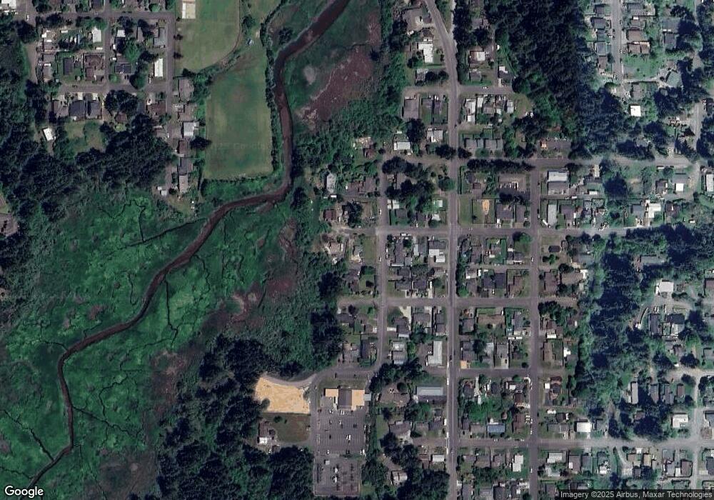
Map
Nearby Homes
- 895 Ohio Ave
- 2579 Pony Creek Rd
- 1358 Scott Ln
- 2719 Alder Ridge Dr
- 765 State St
- 2460 Stephanie Ln
- 3511 Scott Ct
- 2495 Chester St
- 2517 Liberty St
- 2402 Stephanie Ln
- 1270 Ford Ln
- 3236 Sheridan Ave
- 2253 Pony Creek Rd
- 2518 Pacific St
- 3700 Vista Dr
- 0 Exchange St
- 00 Exchange St
- 3851 Edgewood Dr
- 584 Exchange St
- 2318 Liberty St