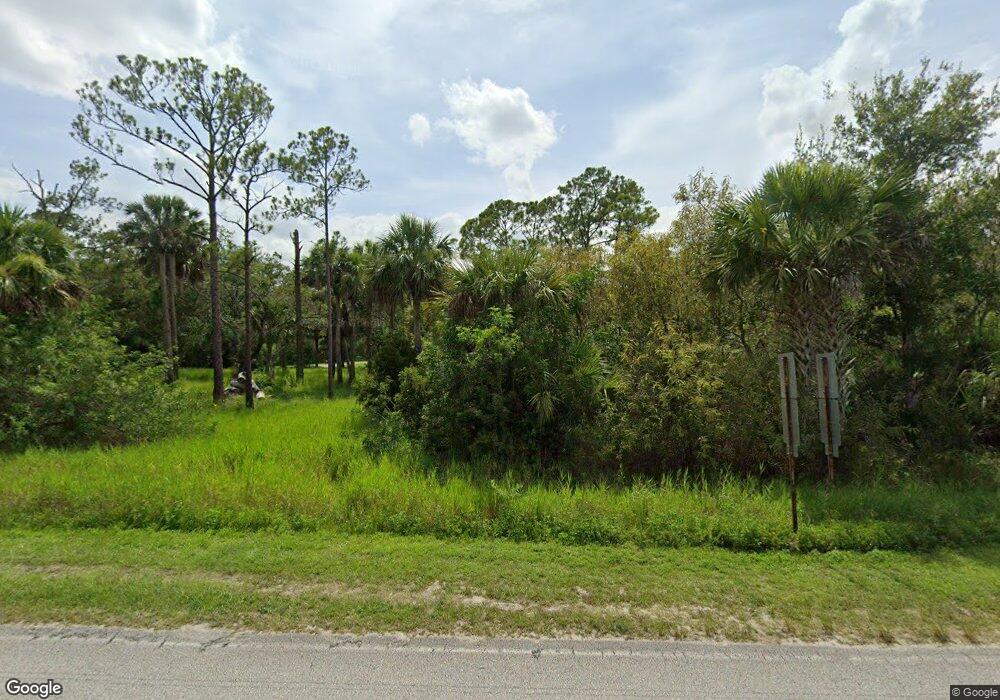
2920 Corey Rd Malabar, FL 32950
Estimated Value: $570,000 - $797,000
4
Beds
3
Baths
2,831
Sq Ft
$241/Sq Ft
Est. Value
About This Home
This home is located at 2920 Corey Rd, Malabar, FL 32950 and is currently estimated at $681,847, approximately $240 per square foot. 2920 Corey Rd is a home located in Brevard County with nearby schools including Port Malabar Elementary School, Stone Magnet Middle School, and Palm Bay Magnet Senior High School.
Ownership History
Date
Name
Owned For
Owner Type
Purchase Details
Closed on
Feb 10, 2025
Sold by
Hammer William A and Hammer Teresa Fortenberry
Bought by
Hammer William A
Current Estimated Value
Purchase Details
Closed on
Jan 19, 1999
Sold by
Hammer William A and Hammer William A
Bought by
Shacoush Inc
Purchase Details
Closed on
Apr 3, 1997
Sold by
Oddo Anthony and Oddo Catherine
Bought by
Hammer William A and Hammer Laura D
Home Financials for this Owner
Home Financials are based on the most recent Mortgage that was taken out on this home.
Original Mortgage
$140,000
Interest Rate
7.58%
Create a Home Valuation Report for This Property
The Home Valuation Report is an in-depth analysis detailing your home's value as well as a comparison with similar homes in the area
Home Values in the Area
Average Home Value in this Area
Purchase History
| Date | Buyer | Sale Price | Title Company |
|---|---|---|---|
| Hammer William A | $100 | None Listed On Document | |
| Shacoush Inc | $43,100 | -- | |
| Hammer William A | $37,000 | -- |
Source: Public Records
Mortgage History
| Date | Status | Borrower | Loan Amount |
|---|---|---|---|
| Previous Owner | Hammer William A | $140,000 |
Source: Public Records
Tax History Compared to Growth
Tax History
| Year | Tax Paid | Tax Assessment Tax Assessment Total Assessment is a certain percentage of the fair market value that is determined by local assessors to be the total taxable value of land and additions on the property. | Land | Improvement |
|---|---|---|---|---|
| 2025 | $3,685 | $281,950 | -- | -- |
| 2024 | $3,604 | $274,010 | -- | -- |
| 2023 | $3,604 | $266,030 | $0 | $0 |
| 2022 | $3,412 | $258,290 | $0 | $0 |
| 2021 | $3,064 | $250,770 | $0 | $0 |
| 2020 | $3,054 | $247,310 | $0 | $0 |
| 2019 | $3,018 | $241,750 | $0 | $0 |
| 2018 | $3,008 | $237,250 | $0 | $0 |
| 2017 | $3,038 | $232,380 | $0 | $0 |
| 2016 | $3,067 | $227,610 | $74,100 | $153,510 |
| 2015 | $3,150 | $226,030 | $68,400 | $157,630 |
| 2014 | $3,149 | $224,240 | $68,400 | $155,840 |
Source: Public Records
Map
Nearby Homes
- 1620 Corey Rd
- Tbd Treadwell Ln
- Xxx Unknown
- 2545 Billie Ln
- 2740 Waring Ln
- Tdcandy Kramer Ln
- 000 Unknown
- 0 No Access Unit A4476085
- 0 No Access Unit A4476086
- 0 No Access Unit A4476083
- 0 Unknown Unit 1056008
- 0 Unknown Unit 1062308
- 000 Hunter Ln
- 0000 Unknown Roadway
- 0 Hazel Ln
- 2080 Atz Rd
- 0 Land Lock Ave Unit A4476084
- 3190 Leghorn Rd
- 0000 Old Mission Rd
- 3715 Corey Rd
- 2820 Corey Rd
- 2960 Corey Rd
- 2970 Corey Rd
- 2885 Corey Rd
- 3020 Corey Rd
- 0 E of Corey Rd Unit 778641
- 3040 Corey Rd
- 0 Corey Rd Unit 495210
- 0 Corey Rd Unit 526097
- 0 Corey Rd Unit 562623
- 0 Corey Rd Unit 703234
- 0 Corey Rd Unit R4596010
- 0 Corey Rd Unit 857109
- 0 Off Corey Rd Unit 680129
- 2825 Corey Rd
- 3060 Corey Rd
- 2785 Corey Rd
- 2700 Corey Rd
- 0 N of Old Mission Rd Unit 509769
- 3080 Corey Rd
