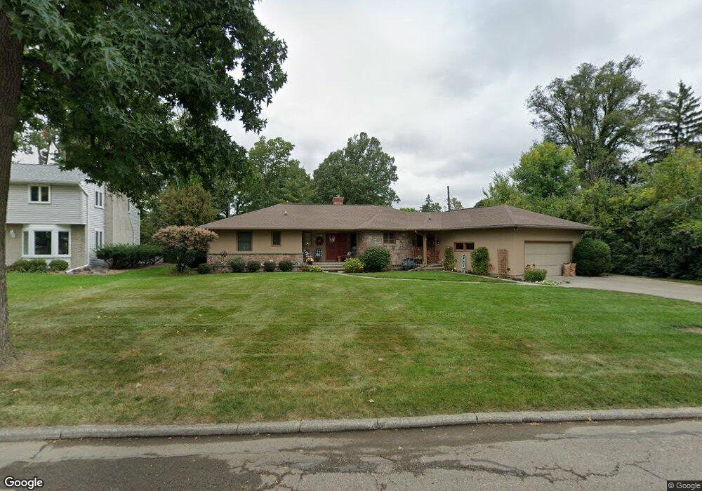
2920 E Westchester Rd Lansing, MI 48911
Moores River Drive NeighborhoodEstimated Value: $264,586 - $341,000
Studio
1
Bath
1,749
Sq Ft
$181/Sq Ft
Est. Value
About This Home
This home is located at 2920 E Westchester Rd, Lansing, MI 48911 and is currently estimated at $316,397, approximately $180 per square foot. 2920 E Westchester Rd is a home located in Ingham County with nearby schools including Averill Elementary School, Pattengill Academy, and J.W. Sexton High School.
Ownership History
Date
Name
Owned For
Owner Type
Purchase Details
Closed on
Feb 21, 2024
Sold by
Slusher Wendy D and Slusher Richard L
Bought by
Slusher Wendy C
Current Estimated Value
Purchase Details
Closed on
Mar 2, 2015
Sold by
Slusher Richard L and Slusher Wendy D
Bought by
Slusher Richard L and Slusher Wendy D
Purchase Details
Closed on
May 15, 2000
Sold by
Reickel Richard E and Reickel Muriel L
Bought by
Slusher Richard L and Slusher Wendy D
Home Financials for this Owner
Home Financials are based on the most recent Mortgage that was taken out on this home.
Original Mortgage
$110,000
Interest Rate
8.13%
Create a Home Valuation Report for This Property
The Home Valuation Report is an in-depth analysis detailing your home's value as well as a comparison with similar homes in the area
Home Values in the Area
Average Home Value in this Area
Purchase History
| Date | Buyer | Sale Price | Title Company |
|---|---|---|---|
| Slusher Wendy C | -- | None Listed On Document | |
| Slusher Richard L | -- | None Available | |
| Slusher Richard L | $155,000 | -- |
Source: Public Records
Mortgage History
| Date | Status | Borrower | Loan Amount |
|---|---|---|---|
| Previous Owner | Slusher Richard L | $110,000 |
Source: Public Records
Tax History
| Year | Tax Paid | Tax Assessment Tax Assessment Total Assessment is a certain percentage of the fair market value that is determined by local assessors to be the total taxable value of land and additions on the property. | Land | Improvement |
|---|---|---|---|---|
| 2025 | $5,025 | $140,000 | $26,400 | $113,600 |
| 2024 | $41 | $139,400 | $26,400 | $113,000 |
| 2023 | $4,708 | $128,400 | $26,400 | $102,000 |
| 2022 | $4,238 | $115,900 | $21,100 | $94,800 |
| 2021 | $4,150 | $105,700 | $9,200 | $96,500 |
| 2020 | $4,125 | $98,700 | $16,300 | $82,400 |
| 2019 | $3,958 | $94,400 | $16,300 | $78,100 |
| 2018 | $3,705 | $78,200 | $16,300 | $61,900 |
| 2017 | $3,548 | $78,200 | $16,300 | $61,900 |
| 2016 | $3,393 | $71,000 | $16,300 | $54,700 |
| 2015 | $3,393 | $66,000 | $32,684 | $33,316 |
| 2014 | $3,393 | $64,200 | $32,684 | $31,516 |
Source: Public Records
Map
Nearby Homes
- 3000 Westchester Rd
- 3215 S Cambridge Rd
- 1533 Cambridge Rd
- 2200 Rossiter Place
- 3508 Muirfield Dr
- 2924 Woodview Dr
- 3601 Muirfield Dr
- 2500 Skye Rd
- 3612 Muirfield Dr Unit 5
- 3522 Saint Andrews Cir Unit 33
- 3425 Cooley Dr
- 2505 Fairfax Rd
- 2409 Victor Ave
- 1740 Wellington Rd Unit 103
- 3344 Brisbane Dr
- 3523 Loveside Terrace Unit 417
- 2838 Sunderland Rd
- 805 Valley Ho Dr
- 1912 Moores River Dr
- 3502 Sallie Mae Terrace Unit 707
- 2930 E Westchester Rd
- 3001 Westchester Rd
- 3021 Westchester Rd
- 2940 E Westchester Rd
- 2929 E Westchester Rd
- 2919 E Westchester Rd
- 3027 Westchester Rd
- 2839 Westchester Rd
- 3008 Westchester Rd
- 3004 Westchester Rd
- 3035 Westchester Rd
- 2935 E Westchester Rd
- 3012 Westchester Rd
- 3016 S Cambridge Rd
- 2829 Westchester Rd
- 2924 S Cambridge Rd
- 2908 Westchester Rd
- 3018 Westchester Rd
- 2916 S Cambridge Rd
- 3026 S Cambridge Rd
Your Personal Tour Guide
Ask me questions while you tour the home.