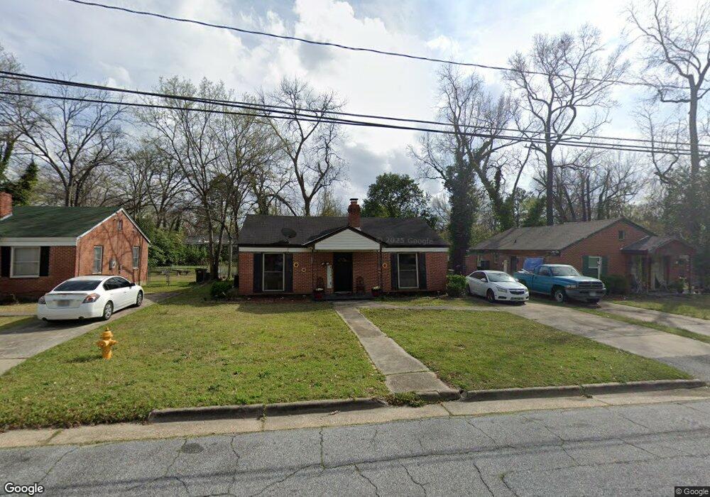
2920 E Wynnton Ln Columbus, GA 31906
East Wynnton-Wynnton Hill NeighborhoodEstimated Value: $61,385 - $98,000
3
Beds
2
Baths
1,294
Sq Ft
$59/Sq Ft
Est. Value
About This Home
This home is located at 2920 E Wynnton Ln, Columbus, GA 31906 and is currently estimated at $76,596, approximately $59 per square foot. 2920 E Wynnton Ln is a home located in Muscogee County with nearby schools including Rigdon Road Elementary School, Rothschild Leadership Academy, and Carver High School.
Ownership History
Date
Name
Owned For
Owner Type
Purchase Details
Closed on
Aug 2, 2022
Sold by
L40 Investments Llc
Bought by
Ge Investments Llc
Current Estimated Value
Purchase Details
Closed on
Jan 16, 2015
Sold by
Hayes Aldric M
Bought by
L40 Investments Llc
Purchase Details
Closed on
Nov 5, 2008
Sold by
Wachovia Mortgage Corporation
Bought by
Hayes Aldric M
Purchase Details
Closed on
Sep 4, 2007
Sold by
Thompson Shameka
Bought by
Wachovia Mortgage Corp
Create a Home Valuation Report for This Property
The Home Valuation Report is an in-depth analysis detailing your home's value as well as a comparison with similar homes in the area
Home Values in the Area
Average Home Value in this Area
Purchase History
| Date | Buyer | Sale Price | Title Company |
|---|---|---|---|
| Ge Investments Llc | $600,000 | None Listed On Document | |
| L40 Investments Llc | $400,000 | -- | |
| Hayes Aldric M | $31,800 | None Available | |
| Wachovia Mortgage Corp | $64,080 | None Available |
Source: Public Records
Tax History
| Year | Tax Paid | Tax Assessment Tax Assessment Total Assessment is a certain percentage of the fair market value that is determined by local assessors to be the total taxable value of land and additions on the property. | Land | Improvement |
|---|---|---|---|---|
| 2025 | $1,017 | $25,972 | $5,720 | $20,252 |
| 2024 | $1,017 | $25,972 | $5,720 | $20,252 |
| 2023 | $1,023 | $25,972 | $5,720 | $20,252 |
| 2022 | $981 | $24,028 | $5,720 | $18,308 |
| 2021 | $869 | $21,284 | $5,720 | $15,564 |
| 2020 | $869 | $21,284 | $5,720 | $15,564 |
| 2019 | $872 | $21,284 | $5,720 | $15,564 |
| 2018 | $872 | $21,284 | $5,720 | $15,564 |
| 2017 | $875 | $21,284 | $5,720 | $15,564 |
| 2016 | $885 | $21,452 | $1,694 | $19,758 |
| 2015 | $1,256 | $30,400 | $2,400 | $28,000 |
| 2014 | $503 | $30,400 | $2,400 | $28,000 |
| 2013 | -- | $30,400 | $2,400 | $28,000 |
Source: Public Records
Map
Nearby Homes
- 1081 Benner Ave
- 2822 E Wynnton Ln
- 2829 Hood St
- 2902 Hood St
- 1072 Rigdon Rd
- 3035 Morehouse St
- 2920 Schaul St
- 2817 King St
- 1035 Fisk Ave
- 3110 Morehouse St
- 3122 Glenwood Dr
- 3019 Melrose Dr
- 2833 Thomas St
- 2831 Thomas St
- 2829 Thomas St
- 240 Kildee Dr
- 944 Booker Ave
- 2726 Marion St
- 2621 Lewis St
- 1104 Dunbar Ave
- 2926 E Wynnton Ln
- 2916 E Wynnton Ln
- 2921 Pecan St
- 2930 E Wynnton Ln
- 2927 Pecan St
- 2910 E Wynnton Ln
- 2917 Pecan St
- 2931 Pecan St
- 2911 Pecan St
- 2934 E Wynnton Ln
- 2906 E Wynnton Ln
- 2927 E Wynnton Ln
- 2917 E East Wynnton Ln
- 2917 E Wynnton Ln
- 2933 Pecan St
- 2921 E Wynnton Ln
- 2907 Pecan St
- 2931 E Wynnton Ln
- 2940 E Wynnton Ln
- 2902 E Wynnton Ln
Your Personal Tour Guide
Ask me questions while you tour the home.