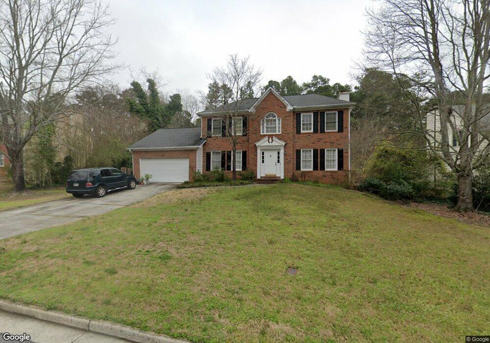
2920 Flintrock Way Unit 1 Snellville, GA 30078
Estimated Value: $356,000 - $382,000
4
Beds
3
Baths
2,471
Sq Ft
$148/Sq Ft
Est. Value
About This Home
This home is located at 2920 Flintrock Way Unit 1, Snellville, GA 30078 and is currently estimated at $365,964, approximately $148 per square foot. 2920 Flintrock Way Unit 1 is a home located in Gwinnett County with nearby schools including Britt Elementary School, Snellville Middle School, and South Gwinnett High School.
Ownership History
Date
Name
Owned For
Owner Type
Purchase Details
Closed on
Nov 30, 2000
Sold by
Balsamides Mary E
Bought by
Potter Montgomery and Potter Sonji
Current Estimated Value
Home Financials for this Owner
Home Financials are based on the most recent Mortgage that was taken out on this home.
Original Mortgage
$90,000
Outstanding Balance
$32,564
Interest Rate
7.81%
Mortgage Type
New Conventional
Estimated Equity
$333,400
Create a Home Valuation Report for This Property
The Home Valuation Report is an in-depth analysis detailing your home's value as well as a comparison with similar homes in the area
Home Values in the Area
Average Home Value in this Area
Purchase History
| Date | Buyer | Sale Price | Title Company |
|---|---|---|---|
| Potter Montgomery | $154,900 | -- |
Source: Public Records
Mortgage History
| Date | Status | Borrower | Loan Amount |
|---|---|---|---|
| Open | Potter Montgomery | $90,000 |
Source: Public Records
Tax History Compared to Growth
Tax History
| Year | Tax Paid | Tax Assessment Tax Assessment Total Assessment is a certain percentage of the fair market value that is determined by local assessors to be the total taxable value of land and additions on the property. | Land | Improvement |
|---|---|---|---|---|
| 2025 | $495 | $143,240 | $30,000 | $113,240 |
| 2024 | $495 | $135,440 | $30,000 | $105,440 |
| 2023 | $495 | $127,920 | $29,680 | $98,240 |
| 2022 | $495 | $123,120 | $20,000 | $103,120 |
| 2021 | $495 | $89,240 | $14,000 | $75,240 |
| 2020 | $880 | $76,280 | $12,000 | $64,280 |
| 2019 | $876 | $76,280 | $12,000 | $64,280 |
| 2018 | $852 | $71,200 | $10,000 | $61,200 |
| 2016 | $792 | $58,880 | $10,000 | $48,880 |
| 2015 | $1,687 | $48,960 | $8,000 | $40,960 |
| 2014 | -- | $48,960 | $8,000 | $40,960 |
Source: Public Records
Map
Nearby Homes
- 2020 Jayson Way
- 2655 Lake Commons Ct
- 2071 Walden Park Place
- Atlas Plan at Oak Grove Glen
- Travis Plan at Oak Grove Glen
- Harding Plan at Oak Grove Glen
- 2009 Brookhill Way
- 2019 Brookhill Way
- 2029 Brookhill Way
- 2078 Brookhill Way SW
- 2039 Brookhill Way
- 2049 Brookhill Way
- 2862 Sunrise Ridge Rd
- 2862 Sunrise Ridge Rd Unit LOT 29
- 2059 Brookhill Way
- 2069 Brookhill Way
- 2852 Sunrise Ridge Rd Unit LOT 30
- 2852 Sunrise Ridge Rd
- 2079 Brookhill Way
- 2842 Sunrise Ridge Rd Unit LOT 31
- 2910 Flintrock Way
- 2930 Flintrock Way Unit 1
- 2900 Flintrock Way
- 2925 Flintrock Way Unit 1
- 1785 Rockdale Cir
- 2935 Flintrock Way
- 2915 Flintrock Way
- 2945 Flintrock Way Unit 1
- 2950 Flintrock Way
- 2905 Flintrock Way
- 2955 Flintrock Way
- 1981 Wendover Dr
- 2001 Marshall Trail
- 2960 Flintrock Way Unit 1
- 2000 Marshall Trail
- 1795 Rockdale Cir
- 2965 Flintrock Way
- 1851 Rockdale Cir
- 1794 Rockdale Cir Unit 1
- 1991 Wendover Dr